Klingenfuss Radio Monitoring
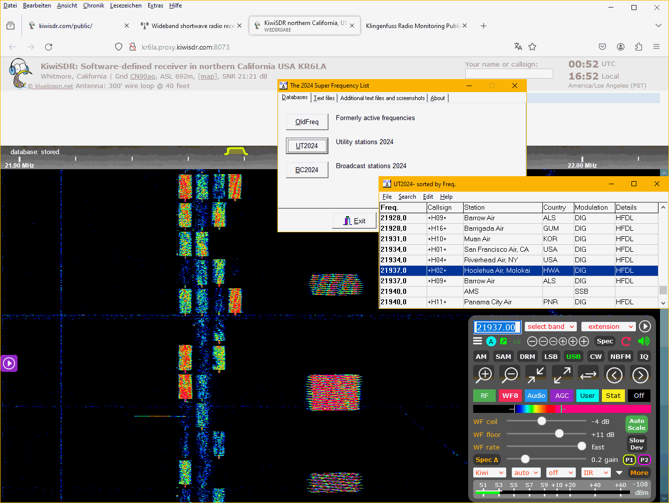
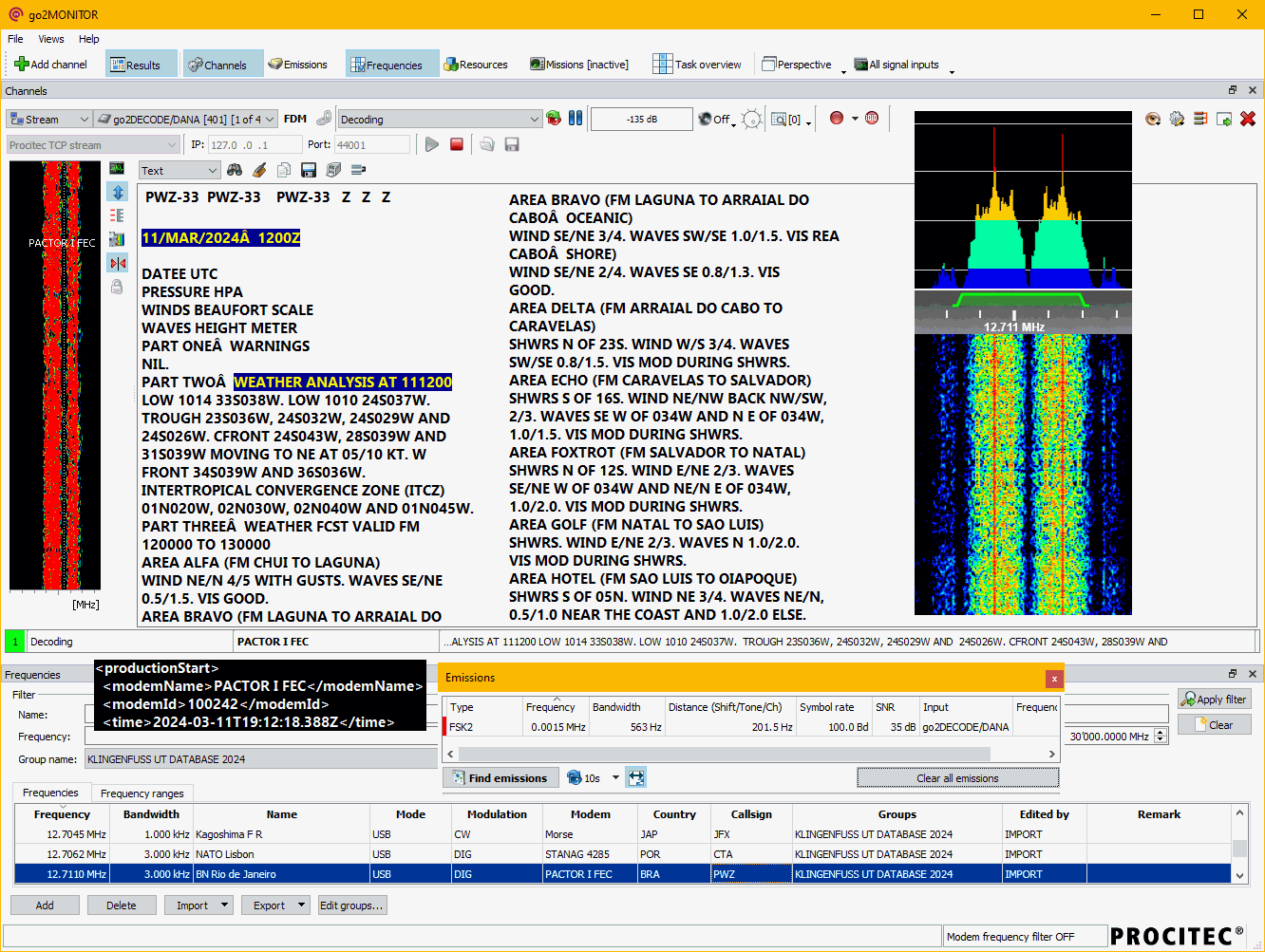
For 50+ years, we've been the world's leading publisher of books and databases for professional shortwave (HF) radio monitoring. Click here for dozens of sample pages of our latest products and here for hundreds of fascinating live radio monitoring screenshots. Read our 13-pages illustrated introduction to digital data decoding via internet-controlled Software-Defined Receivers • Kiwi-SDR • Web-SDR • Open Web RX here!
In urban areas all over the world, the radio spectrum is polluted, and that makes HF reception impossible in certain places. Fortunately, hundreds (!) of Kiwi-SDRs worldwide covering the complete 0-30 MHz spectrum have been made accessible via Internet here.
What's more, many radio amateurs, radio clubs, researchers, and universities have made available their SDRs e.g. here.
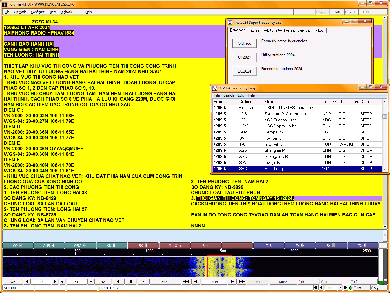
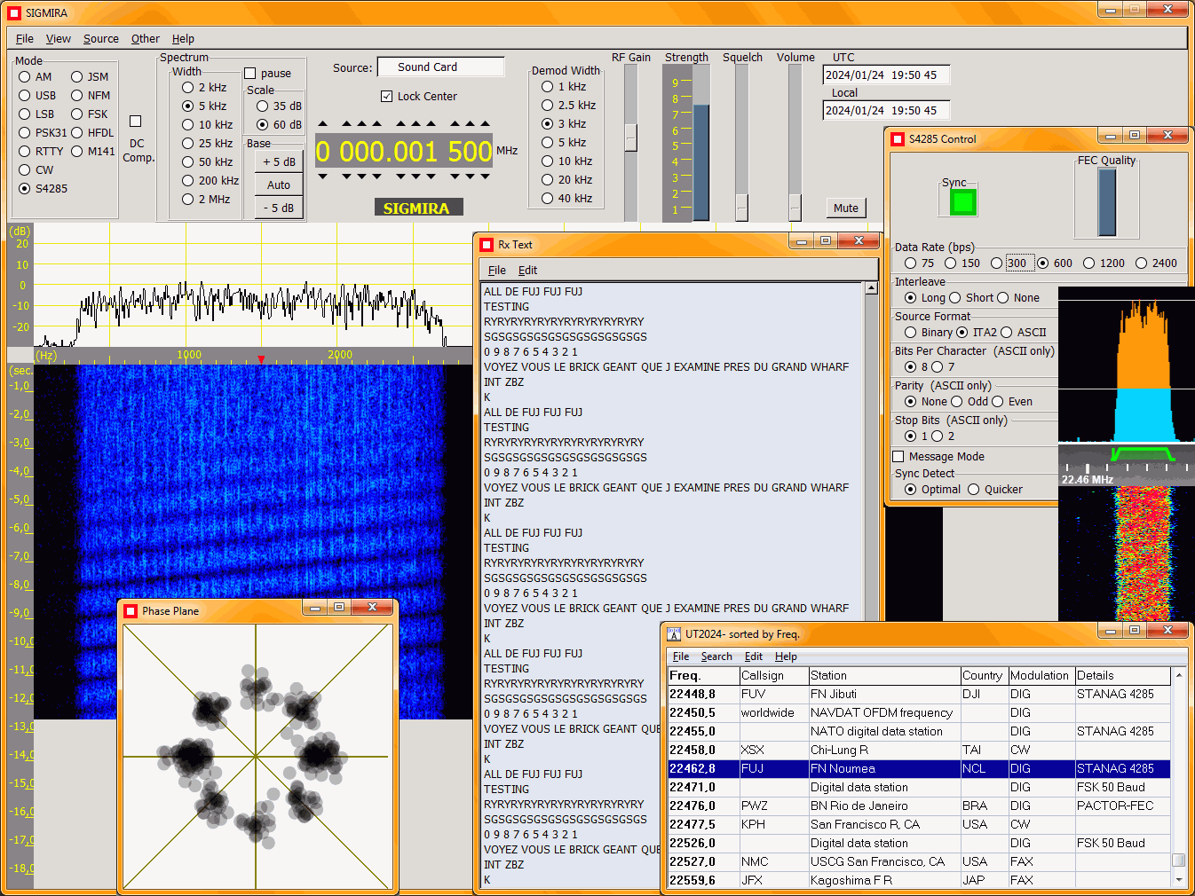

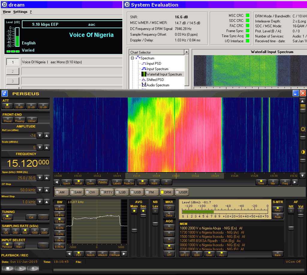
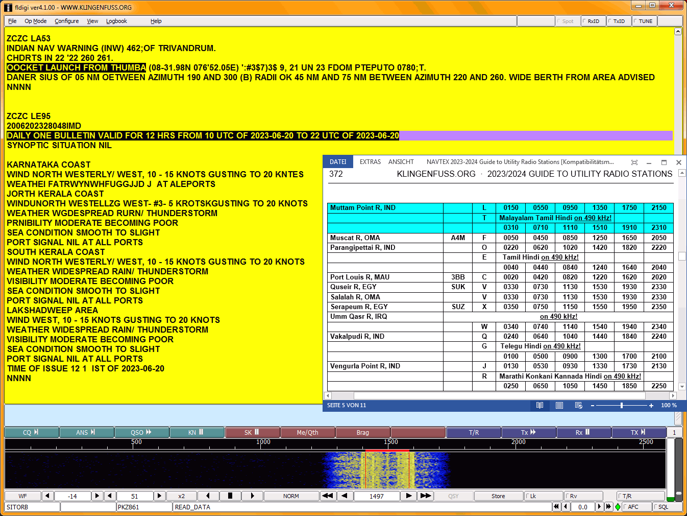
Contrary to the situation in the decreasing world of HF broadcasting, professional worldwide communication on shortwave - i.e. digital data transmissions of utility radio stations! - has been a superb success for decades. Global technical standards have been agreed upon many years ago, and innovative procedures and protocols resulted in a strong increase in the intelligent use of worldwide shortwave frequencies. Just think of ACARS/HFDL that currently handles more than 170,000 messages - per day! Then, there are thousands of HF networks using ALE. What's more, we've got hundreds of CODAN and PACTOR networks worldwide. For maritime traffic on MF and HF there is worldwide NAVTEX, DSC, and NBDPT. And so on ...
HF is the only worldwide communications medium that is totally free of transmission time charges - an important factor today in the era of bankrupt economies, tight budgets and heavy cost control. It saves companies and organizations a major portion of their communications budget every year to use on more important things, because - once the equipment is installed - there are virtually no on-going costs.
There is not - and there will never be! - Internet access available all over the world. Says Horst Weise DL4SBK after his recent trekking trip to Ecuador: "I have been able to keep me very well informed with my 40 Euro portable shortwave receiver!" Now consider the absurd decision by leading international broadcasters to drastically reduce their worldwide shortwave transmissions ... or to shut down HF completely! Just how do BBC, Deutsche Welle, Voice of America and the like get their message - and mission! - across the border to the poor people that is most in need of independent information - and international support?
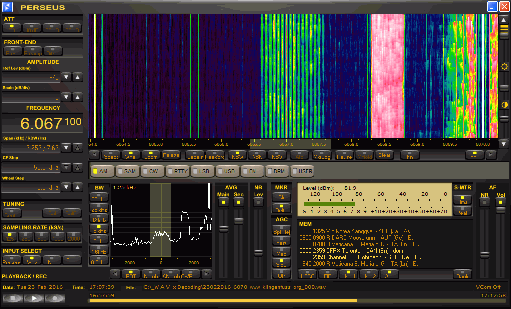
HF spectrum monitoring and control of harmful interference has been neglected for a long time. Today, up-to-date information on real spectrum occupancy - especially when it is based on real-time data such as ours - is invaluable for the planning of modern HF radio systems. Within living memory, bureaucratic government authorities - and, in particular, the International Telecommunication Union - have had absolutely nothing to offer in this field. The best data quality has been supplied from locations where we held instruction courses, e.g. Singapore (Yio Chu Kang monitoring station). By consequence, leading radio monitoring services routinely come back to us because we have been monitoring the HF spectrum continuously for 55 years.
Right from the start in 1968, we have strived for the Asian approach to company qualities:
By consequence, our products have been distributed - for decades! - by leading professional equipment manufacturers and amateur radio organizations worldwide - see our worldwide dealers list here.

The selection from our long list of professional customers reads like the Who is Who? in this fascinating field. The continuous correspondence with our worldwide reading public ensures our manuals to continue to be the standard references of both professional monitoring services and non-professional radio listeners.
 Click to enlarge! |
 Click to enlarge! |
GPS UTM 32U
0500.886 5376.376
Klingenfuss Publications and Klingenfuss Radio Monitoring are located in the countryside, far away from industrial noise and pollution ...
Click to enlarge!
... a few kilometres outside of Tuebingen, the most beautiful city in Germany with the highest percentage of young people - and always on the very top of the quality-of-life index throughout the nation!
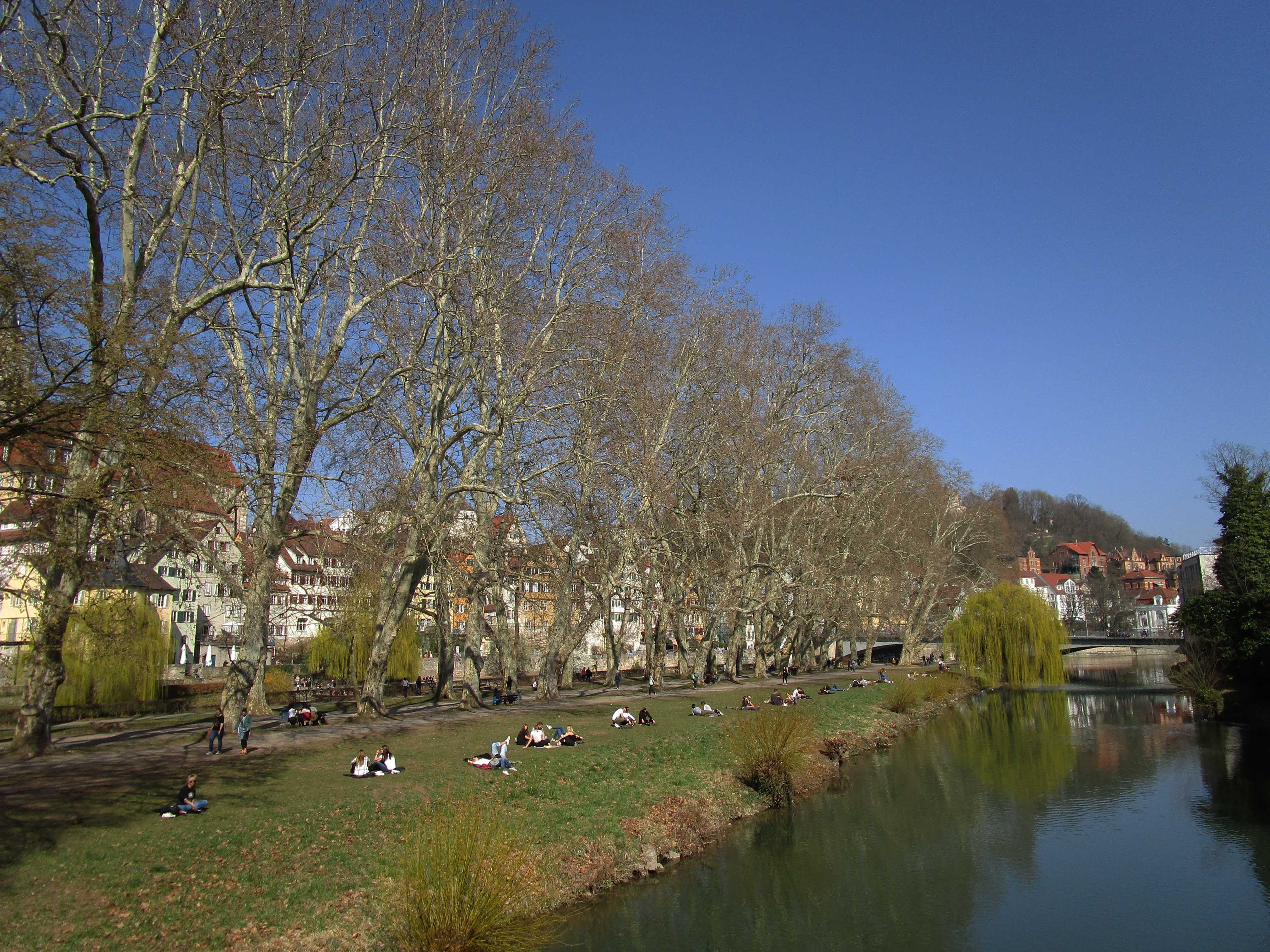
 Neckar riverside Medieval centre with Stiftskirche, founded in 1188 7 JUL 2012, 1200 UTC Click to enlarge! |
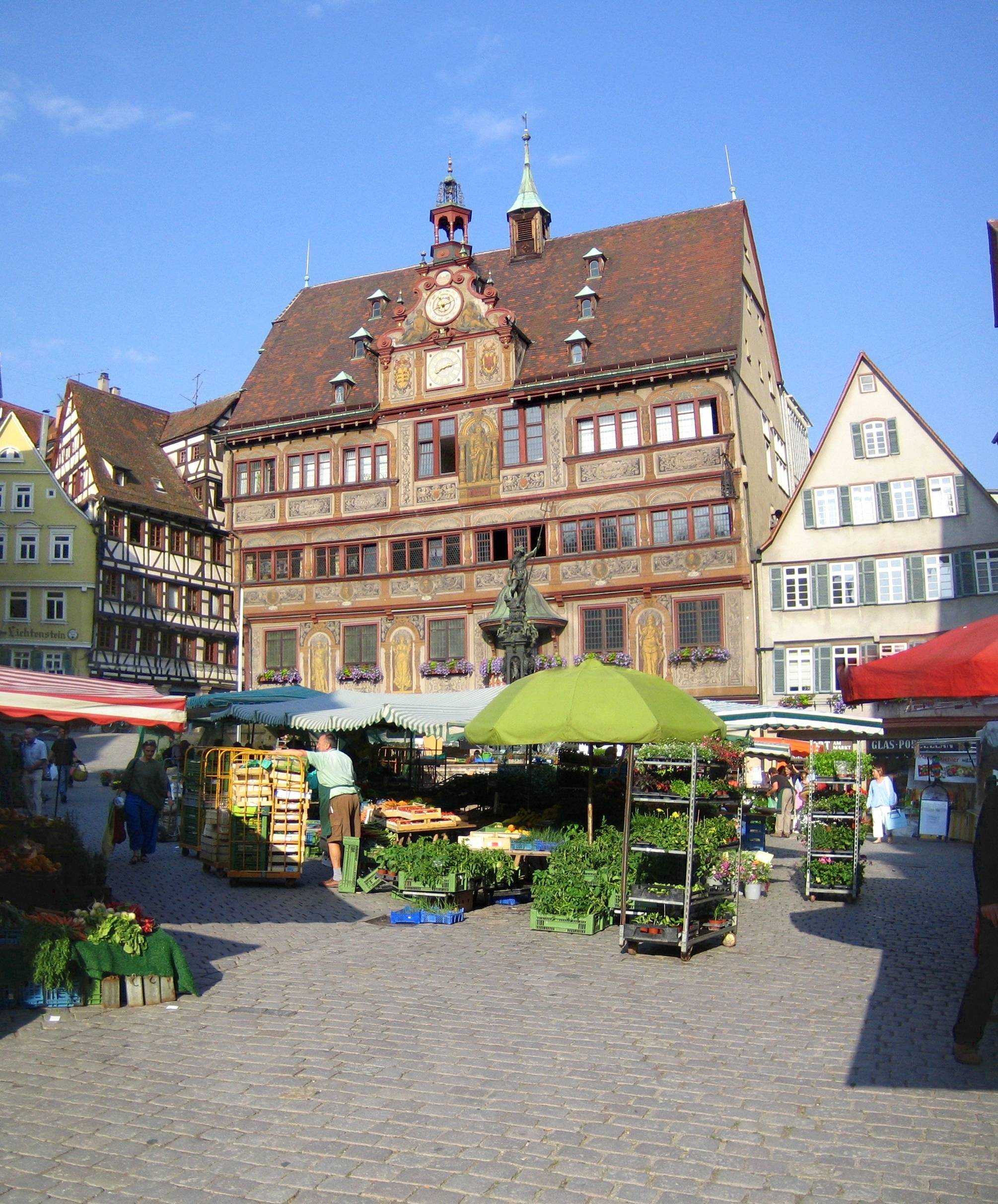 Market square and town hall 23 MAY 2007, 0613 UTC Click to enlarge! |
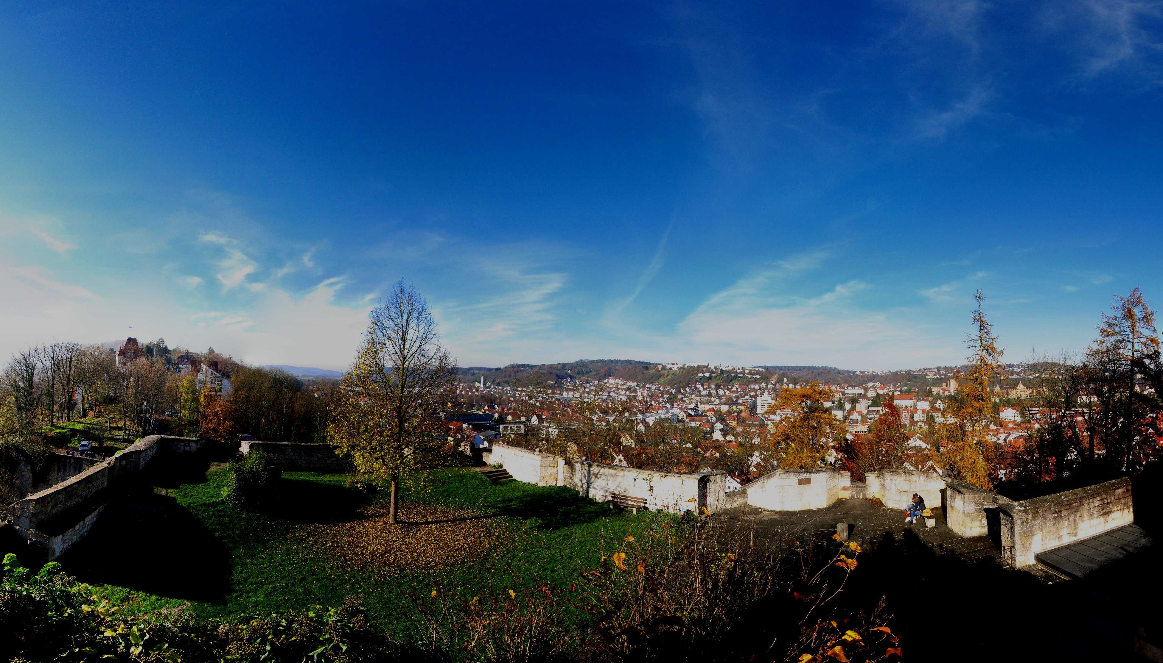
Tuebingen
View from the Count Palatine Castle, dominating the medieval town centre
22 NOV 2014, 1104 UTC
Click to enlarge!

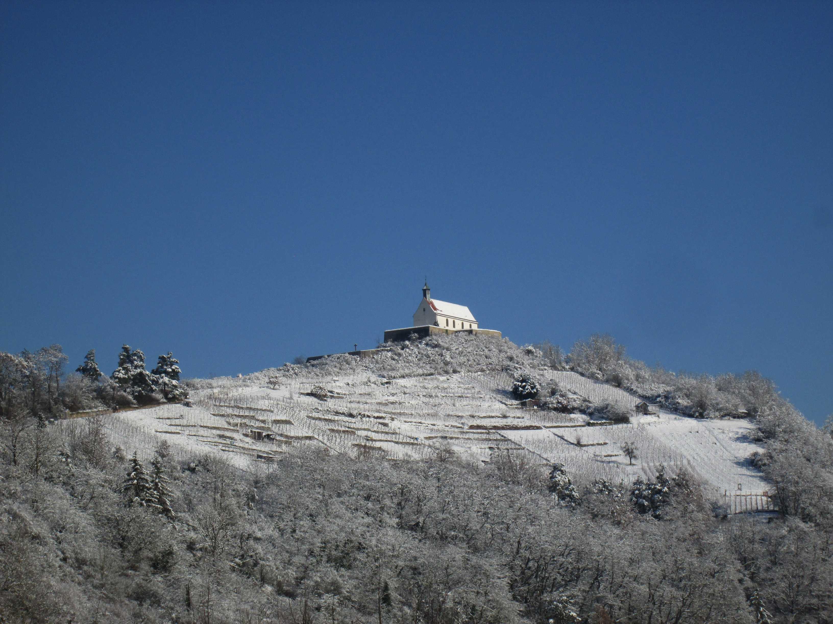
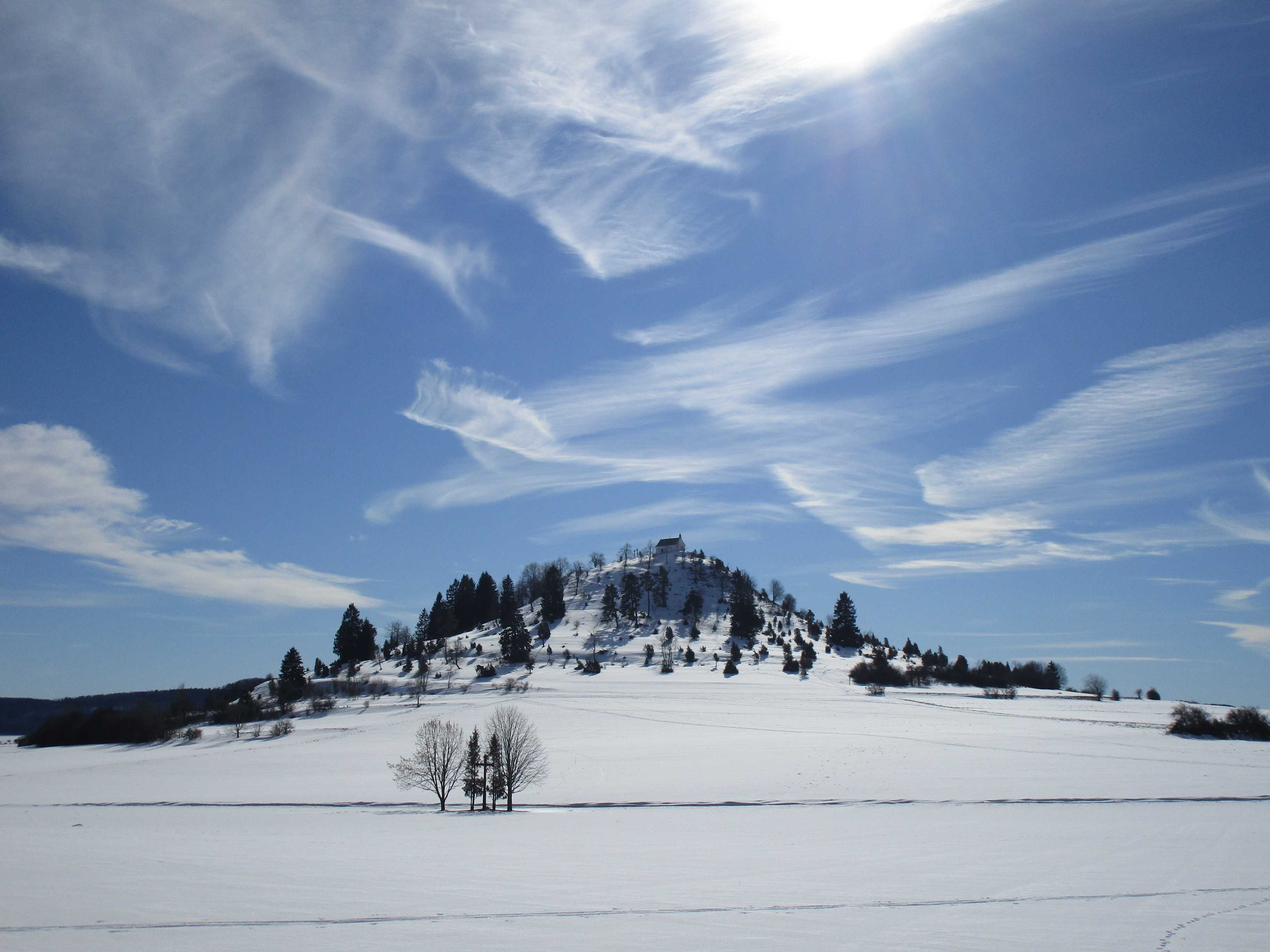
Chapel of Wurmlingen
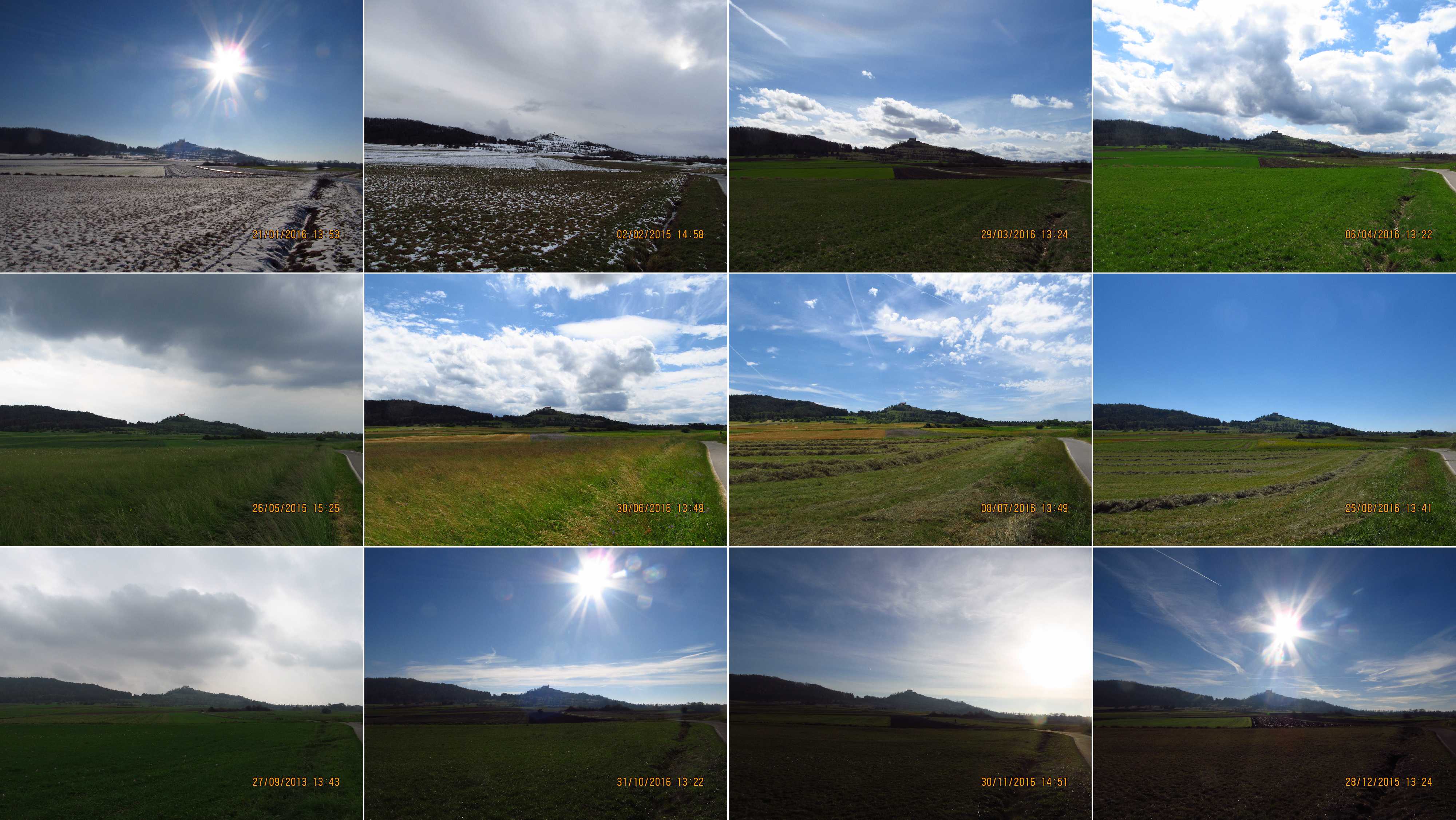
One picture per month
Times here are local times, not UTC
Click to enlarge!

Cherry tree in the Hirschau vineyard
One picture per month
Times here are local times, not UTC
Click to enlarge!
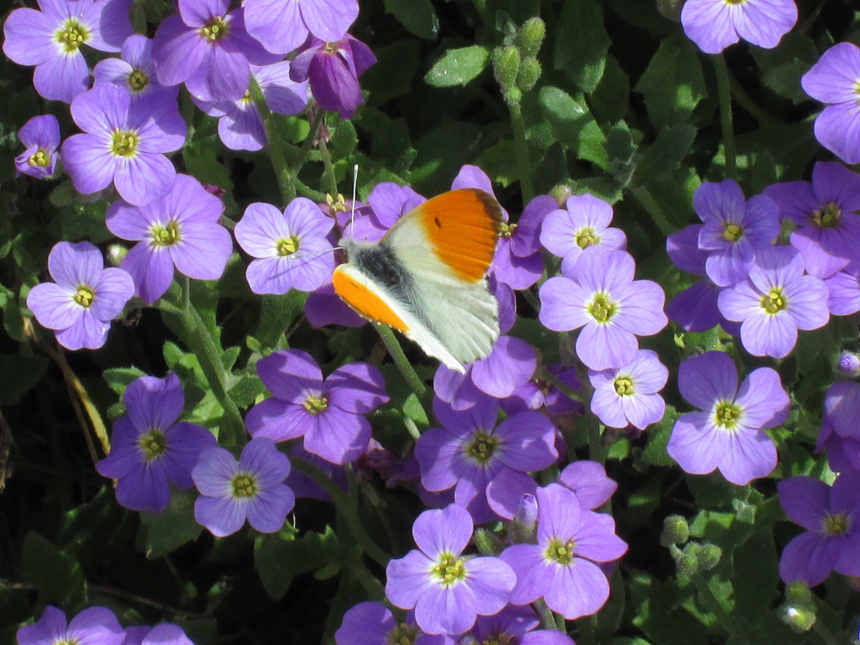
Orange Tip (Anthocharis cardamines) near Wendelsheim
7 APR 2024, 1004 UTC
Click to enlarge!
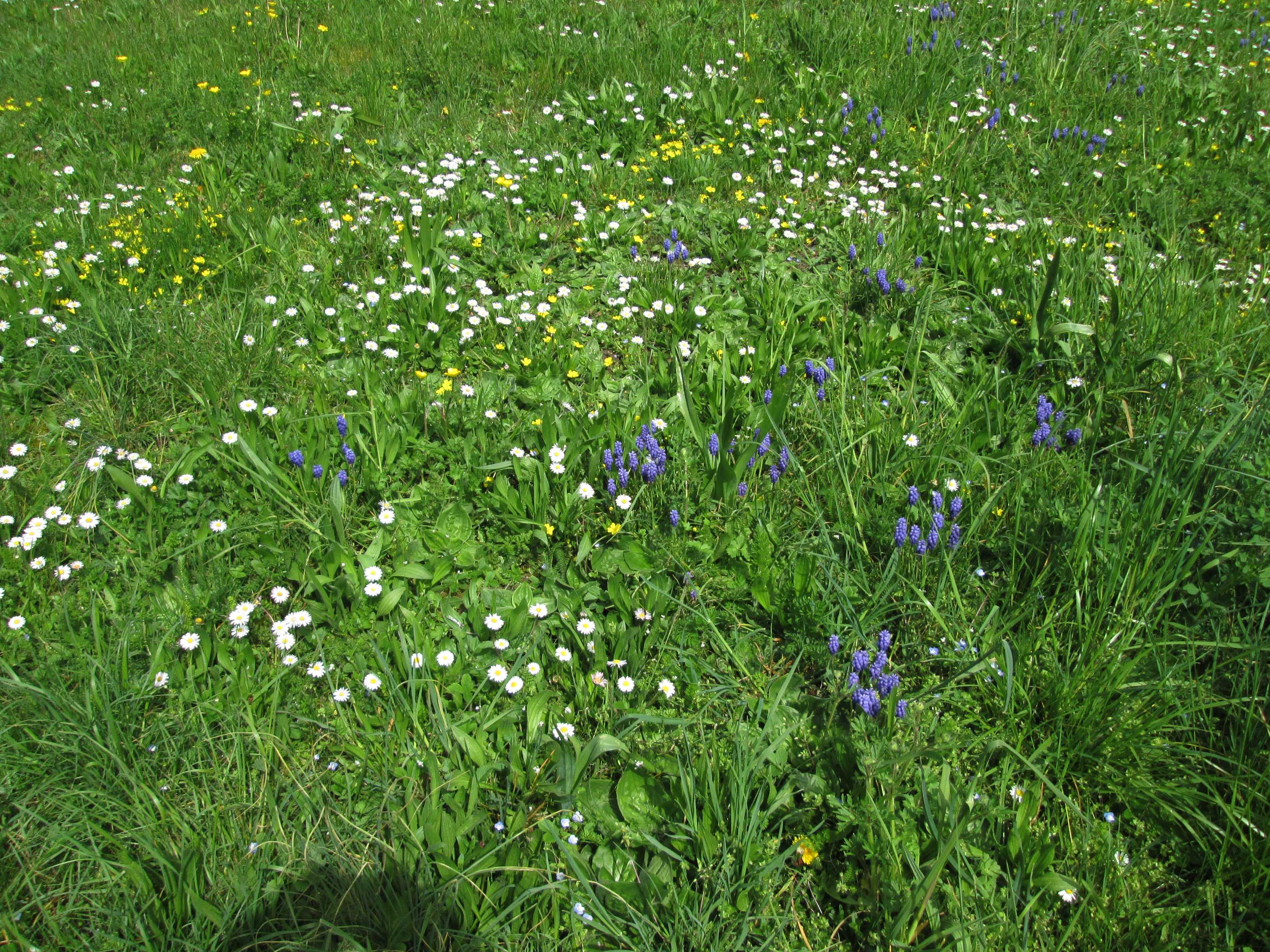
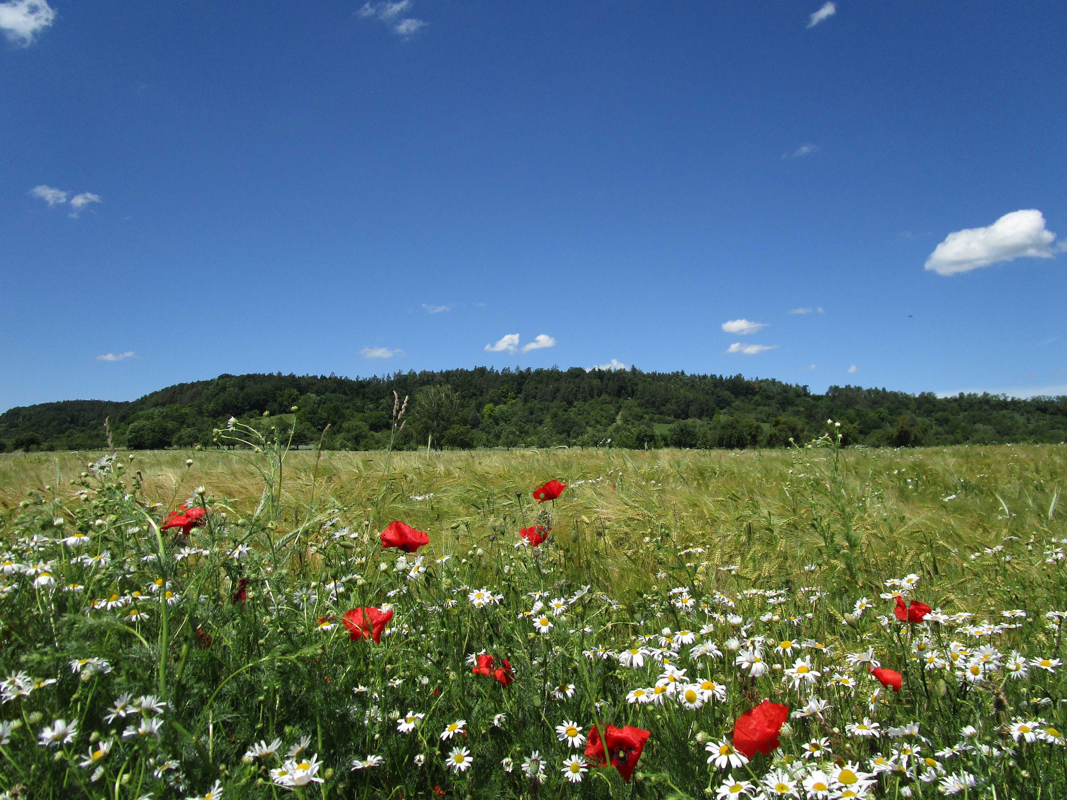
Flowering meadow near Wendelsheim
5 APR 2024, 1143 UTC
Click to enlarge!
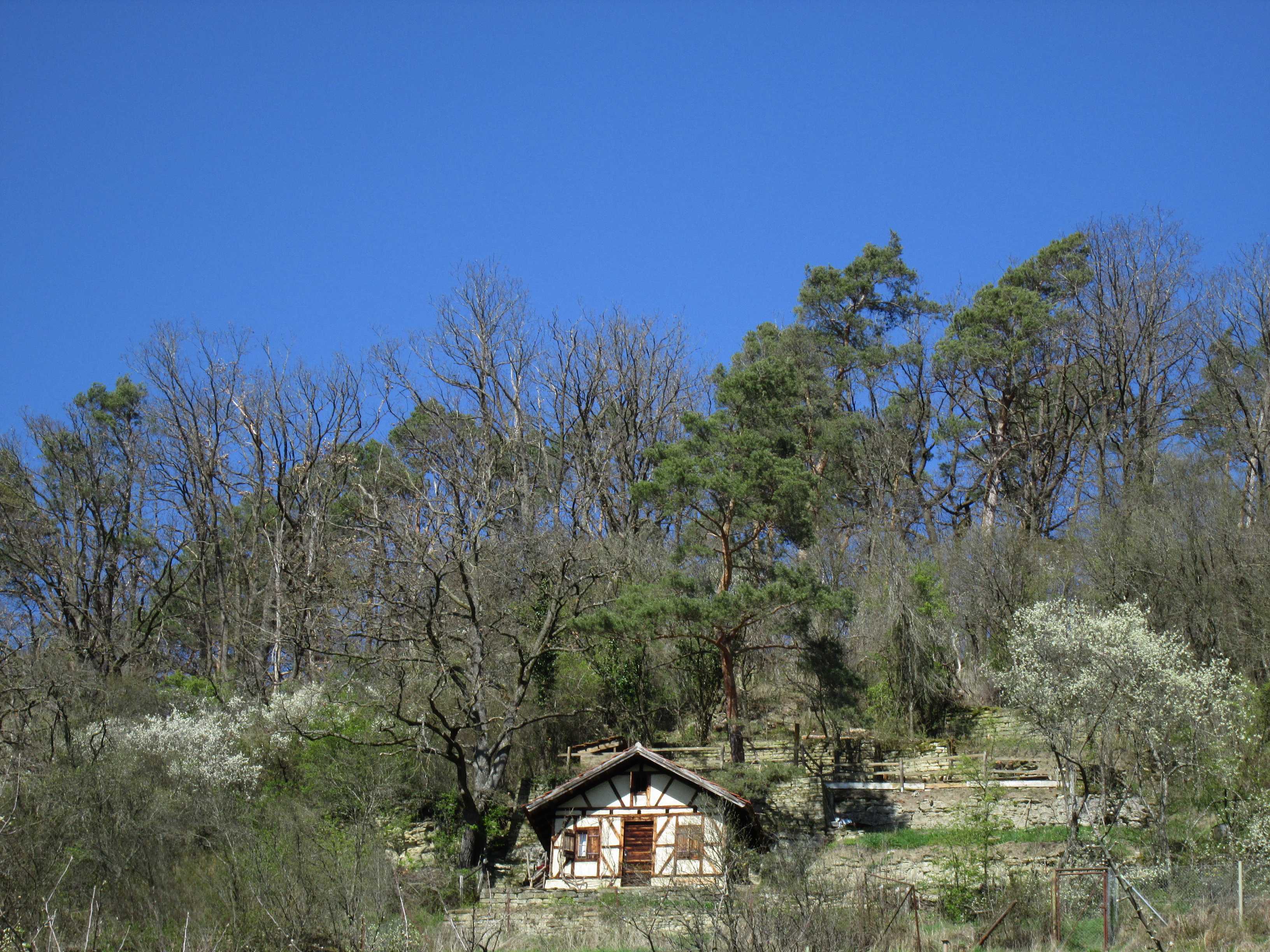
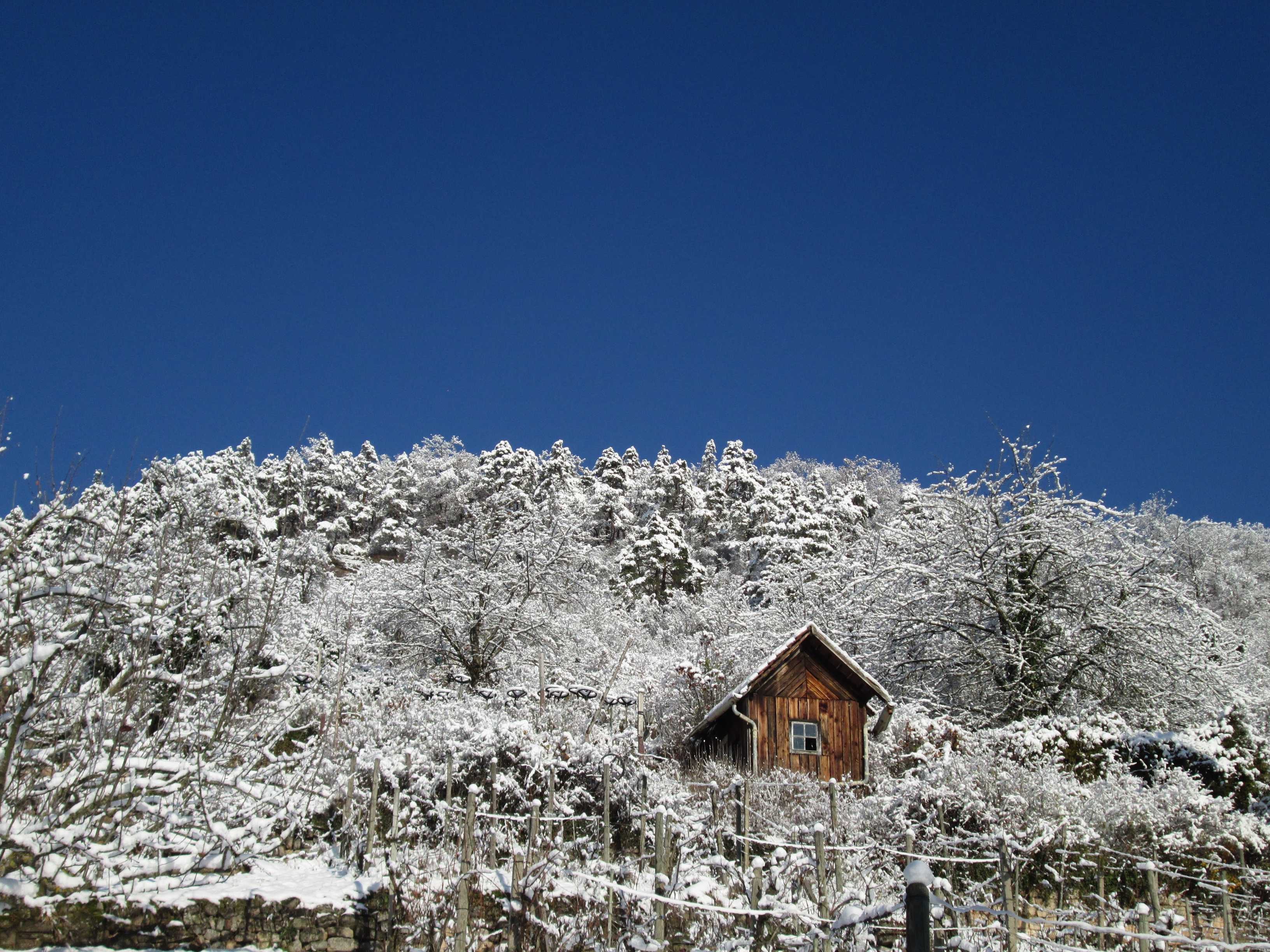
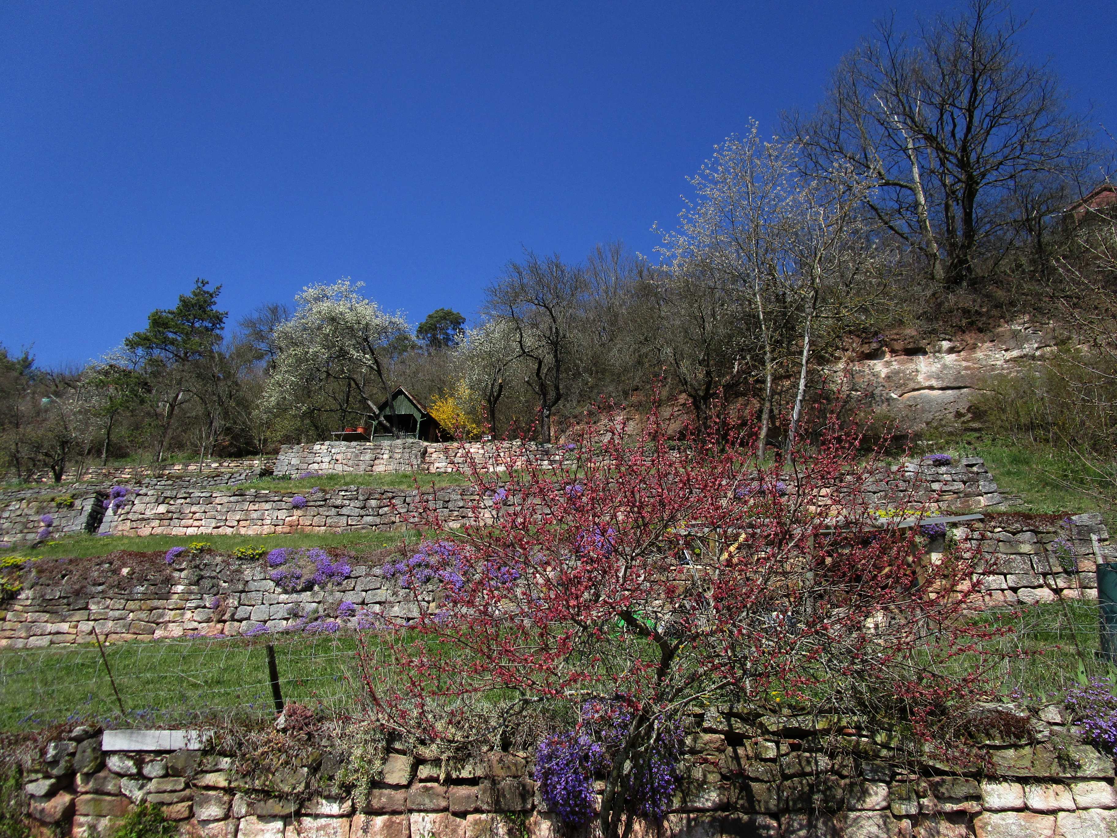
Traditional wine grower's hut in the Wendelsheim vineyard
25 APR 2024, 1209 UTC
Click to enlarge!
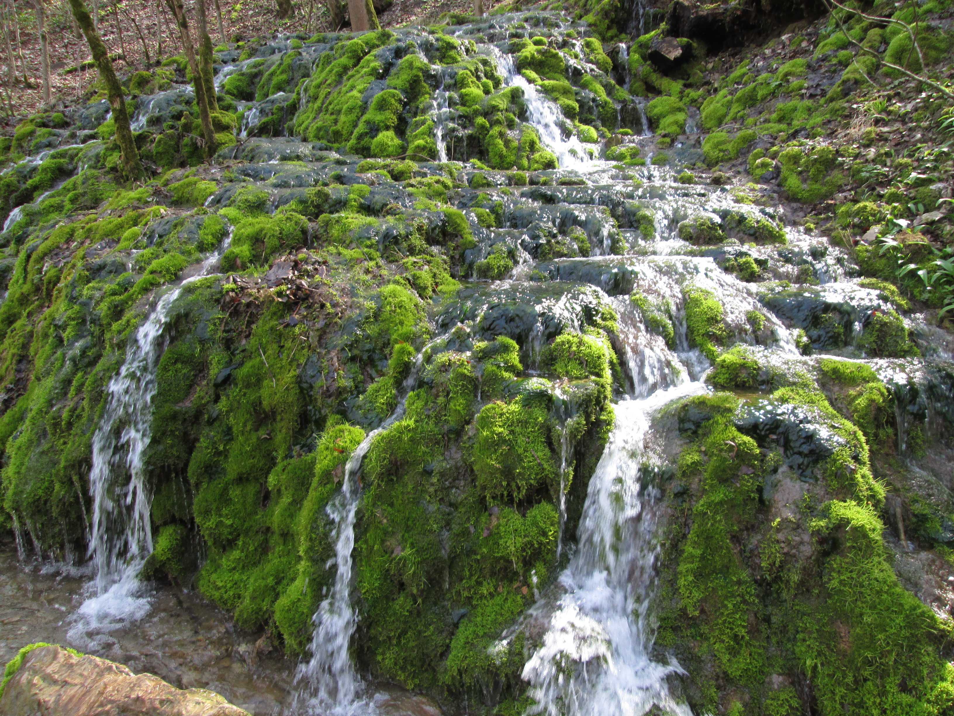
Hidden waterfall near Talheim
22 MAR 2024, 1048 UTC
Click to enlarge!

Peacock Butterfly (Aglais io) in the Wendelsheim vineyard
19 MAR 2024, 1253 UTC
Click to enlarge!
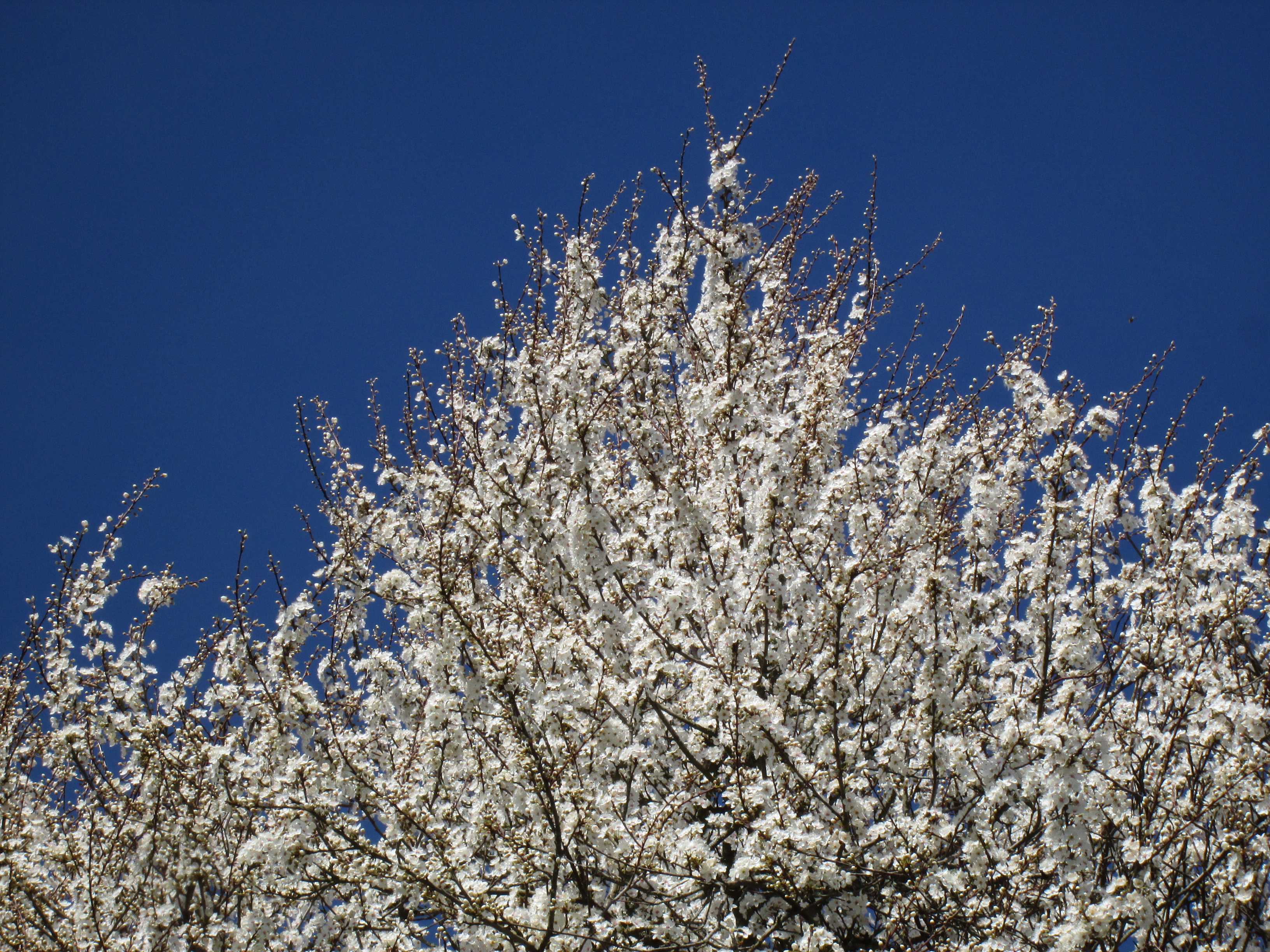
Common Hawthorn (Crataegus monogyna) near Unterjesingen
9 MAR 2024, 1117 UTC
Click to enlarge!
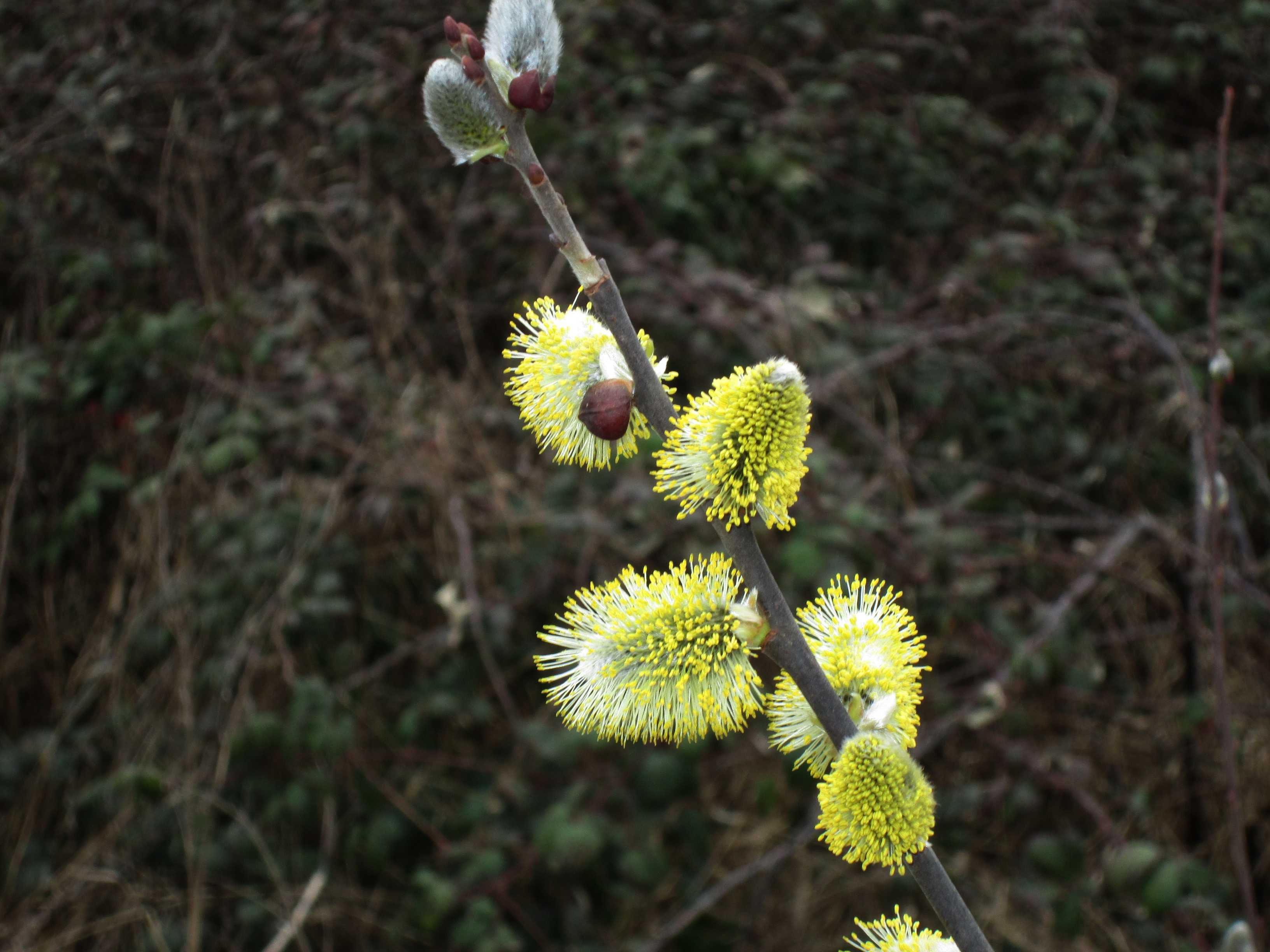
Flowering Goat Willow (Salix caprea) near Wurmlingen
28 FEB 2024, 1131 UTC
Click to enlarge!

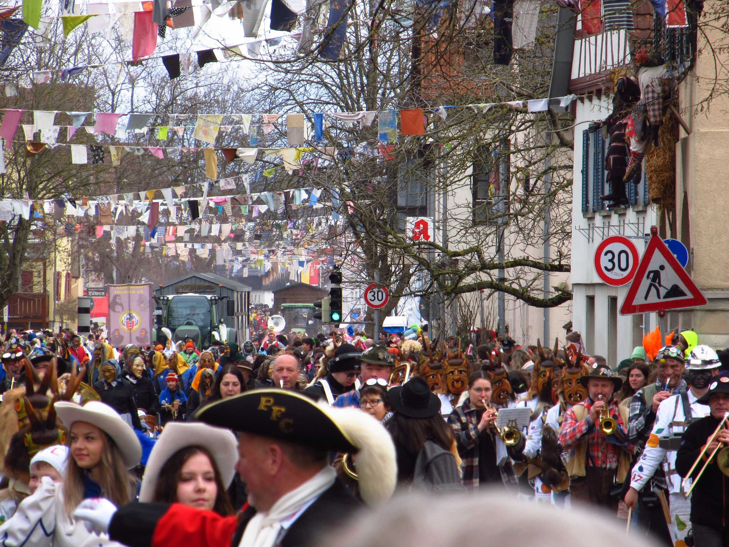
Local carnival in Hirschau
Many traditional groups and thousands of spectators
12 FEB 2024, 1246 UTC
Click to enlarge!
Local carnival in Hirschau
12 FEB 2024, 1254 UTC
Click to enlarge!

Local carnival in Hirschau
12 FEB 2024, 1256 UTC
Click to enlarge!
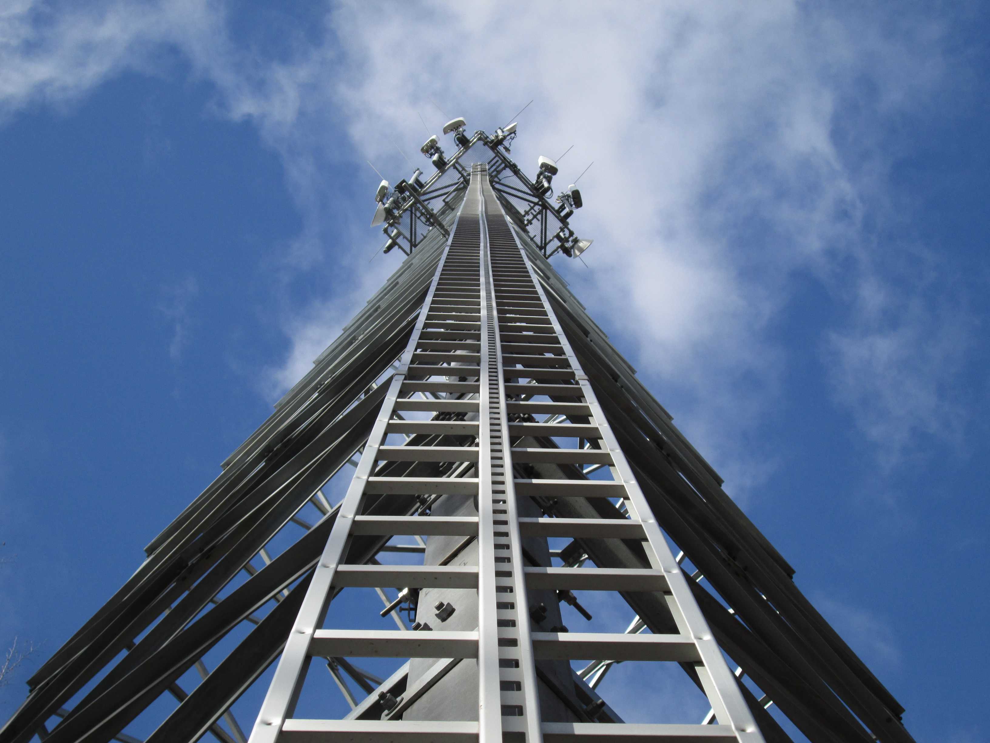
Ladder to the sky
Location Spitzberg
7 FEB 2024, 1207 UTC
Click to enlarge!
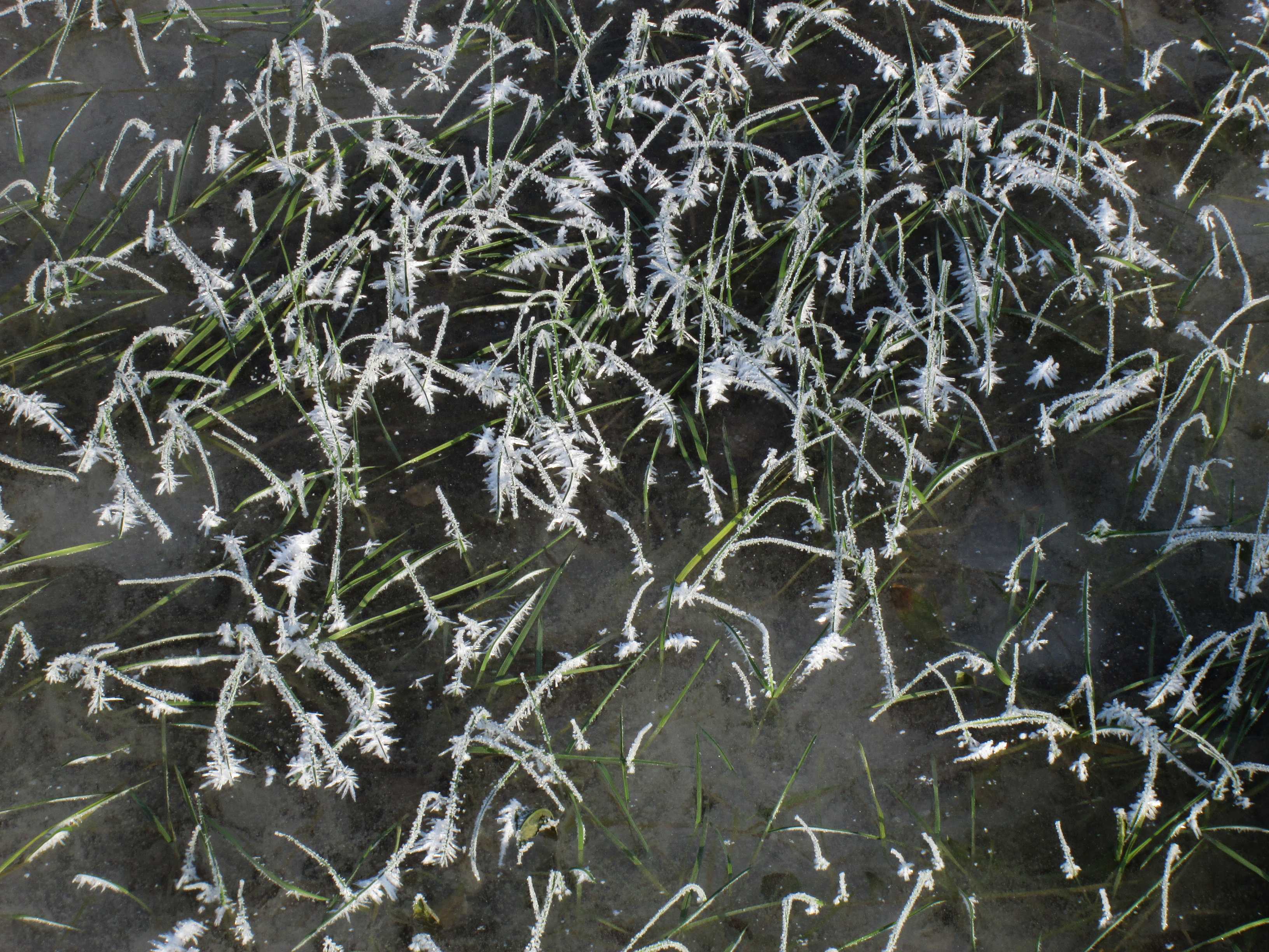
Frozen grass near Wurmlingen
11 JAN 2024, 1218 UTC
Click to enlarge!
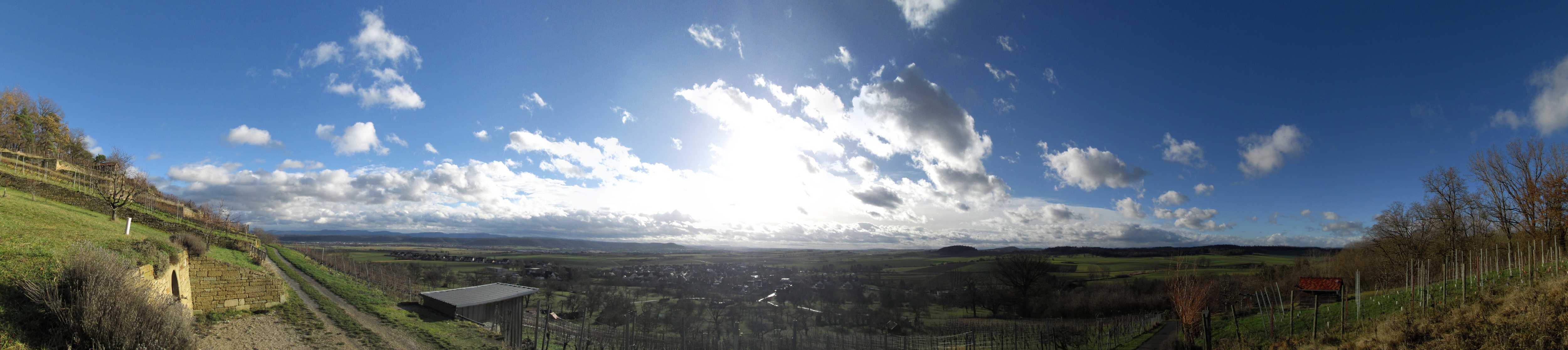
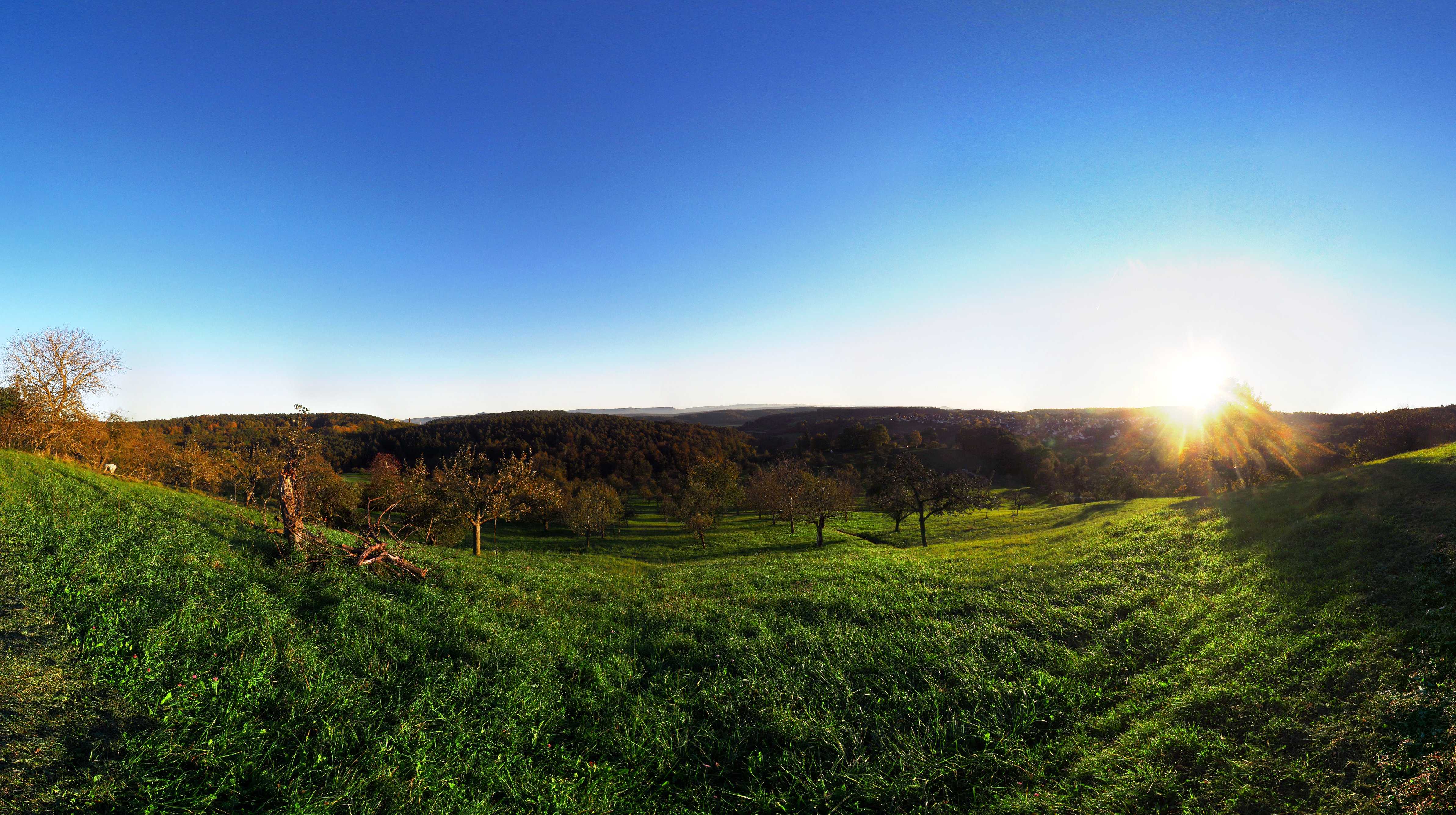
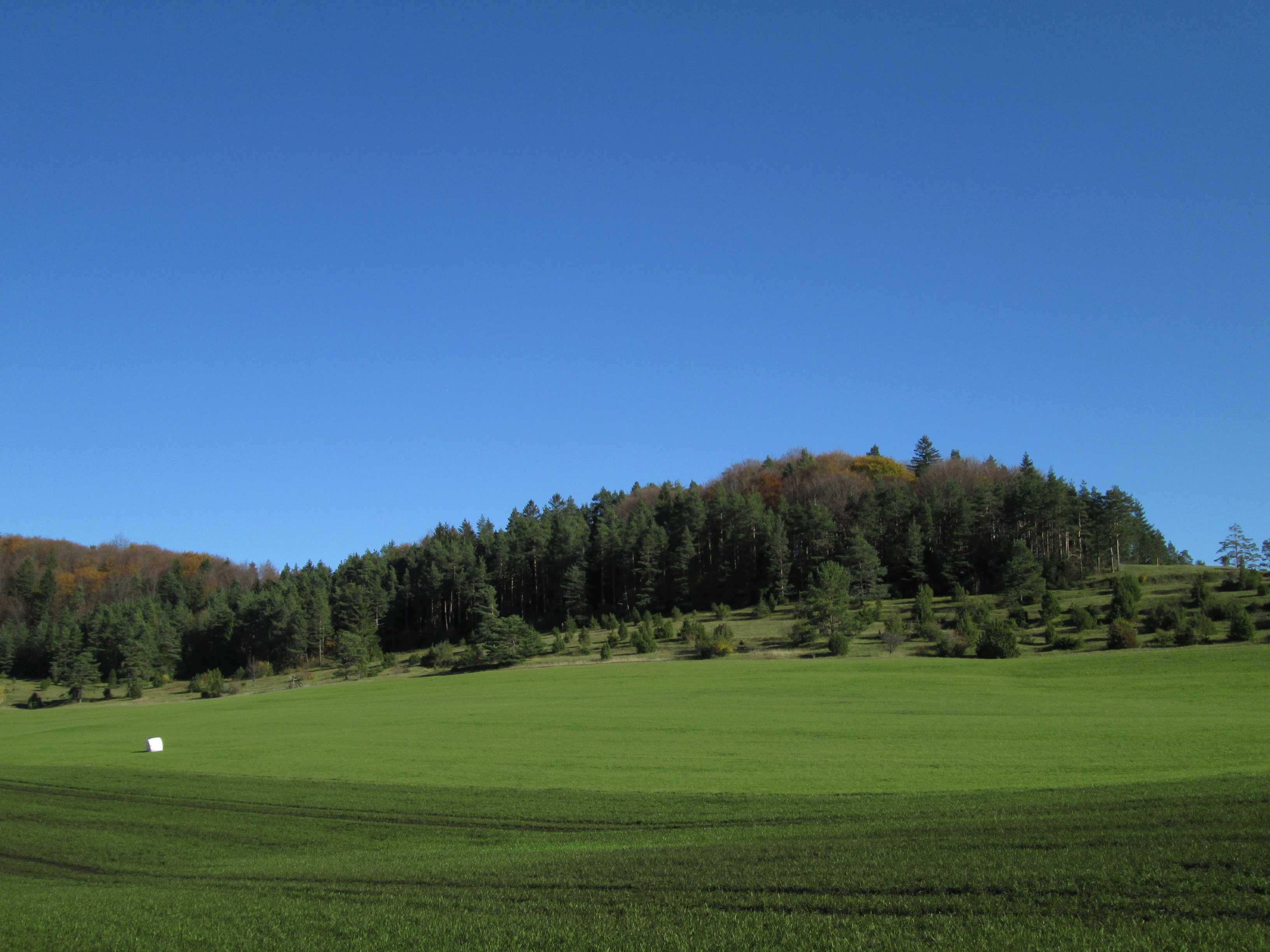
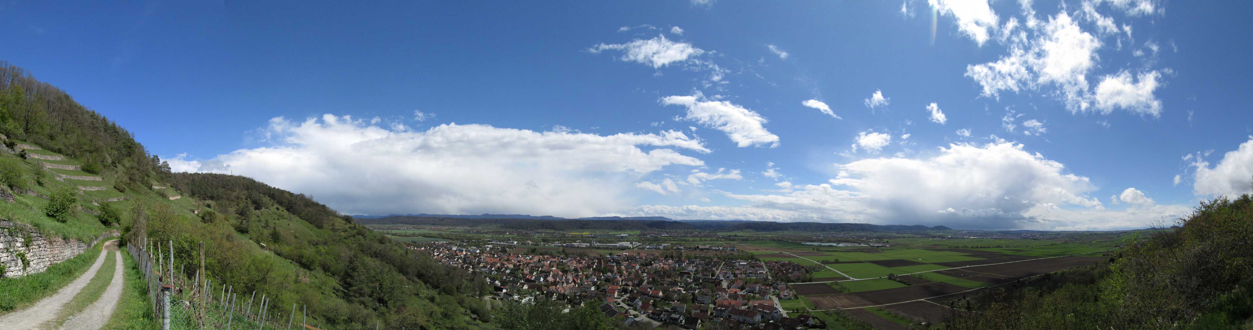
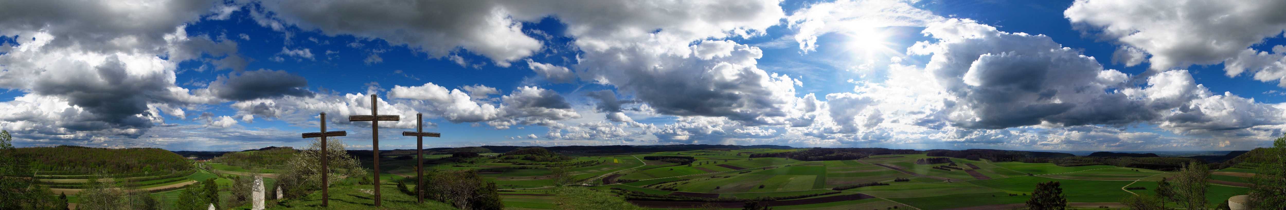
Wendelsheim vineyard
The mountains in the background are the Schwaebische Alb,
peaking around 1,100 metres altitude
11 DEC 2023, 1248 UTC
Click to enlarge!
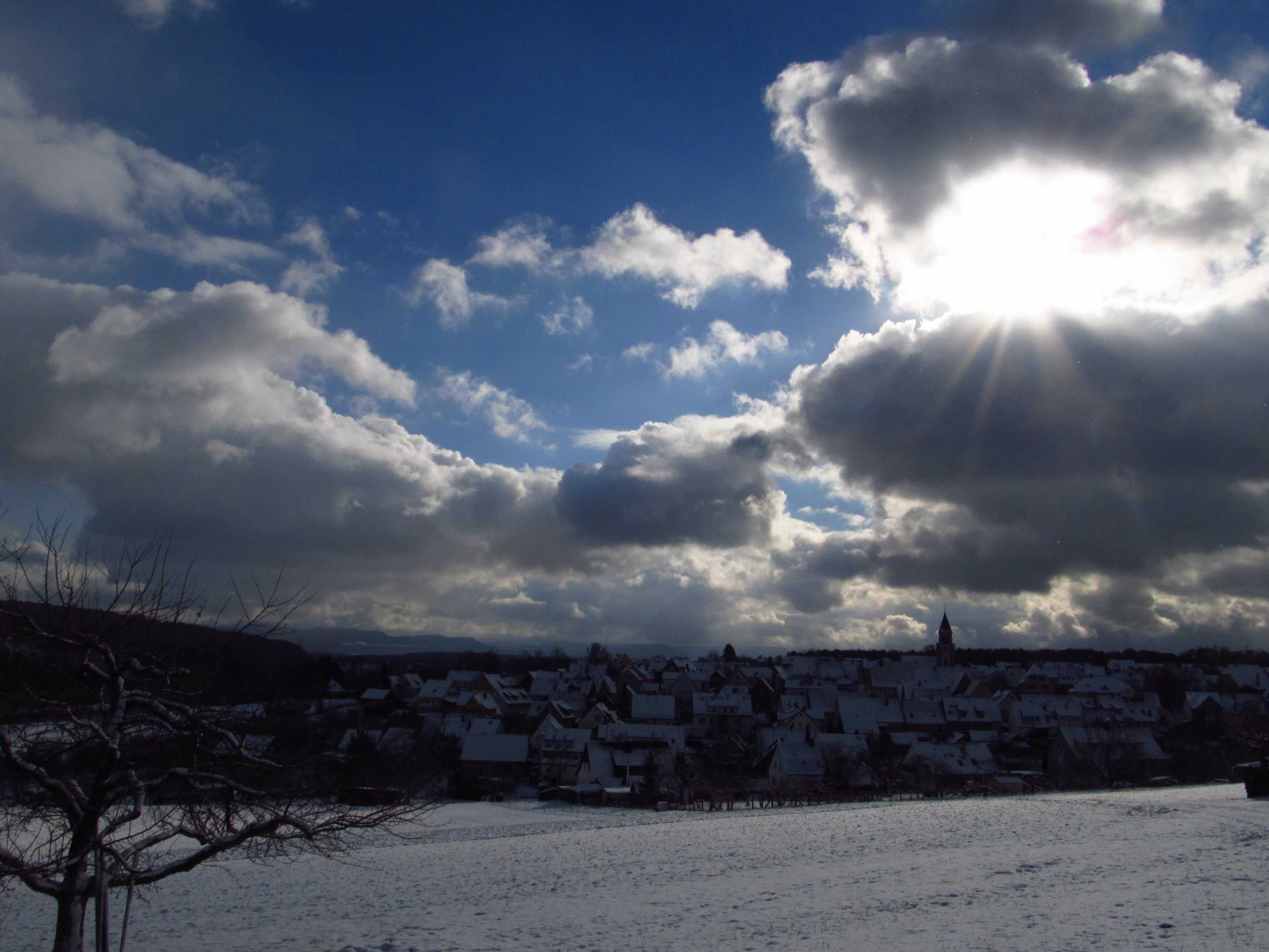
Chapel of Wurmlingen and frosty vineyards
3 DEC 2023, 1116 UTC
Click to enlarge!
Ammer valley
Location Kapellenberg near Wurmlingen
3 DEC 2023, 1046 UTC
Click to enlarge!
Traditional wine grower's hut in the Wurmlingen vineyard
3 DEC 2023, 1032 UTC
Click to enlarge!

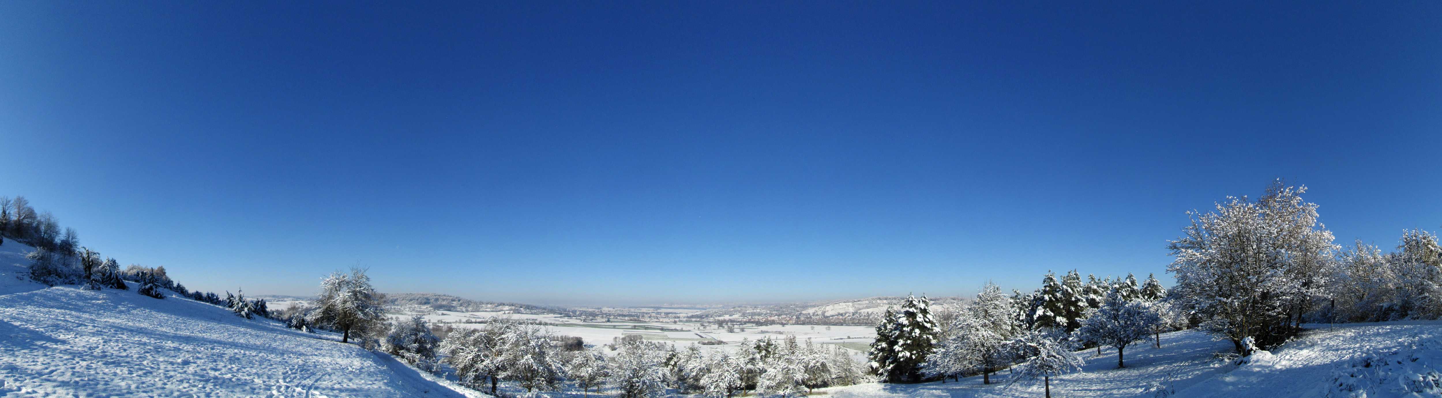
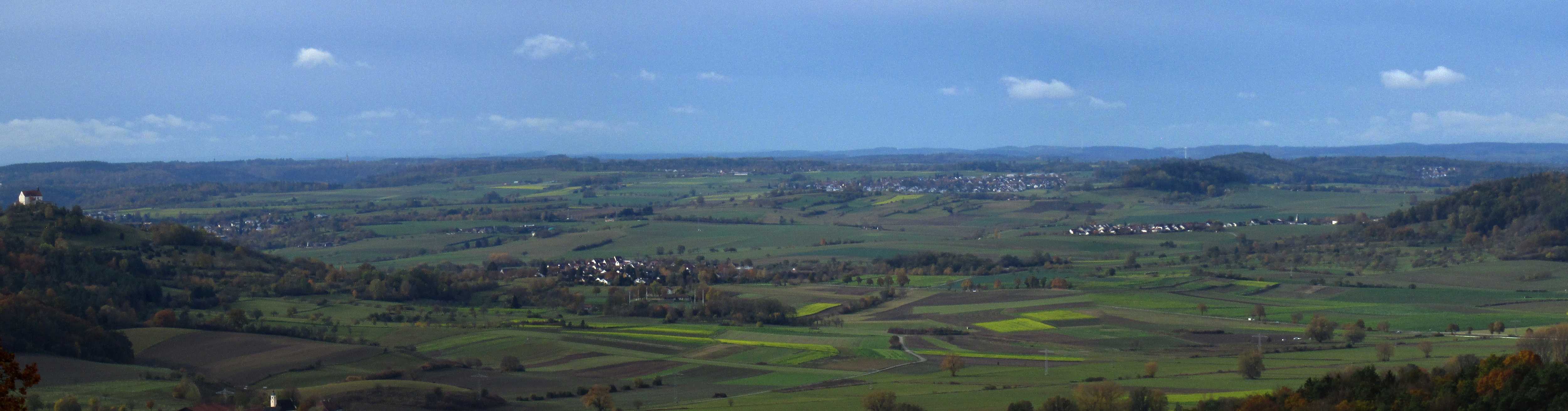
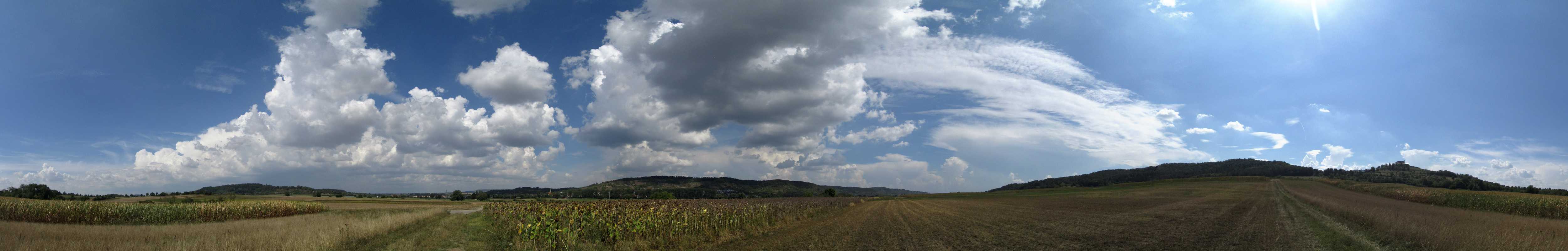
Panorama from the Unterjesingen vineyard near Tuebingen
The mountains in the background are the Schwaebische Alb,
peaking around 1,100 metres altitude
8 NOV 2023, 1233 UTC
Click to enlarge!
Tuebingen
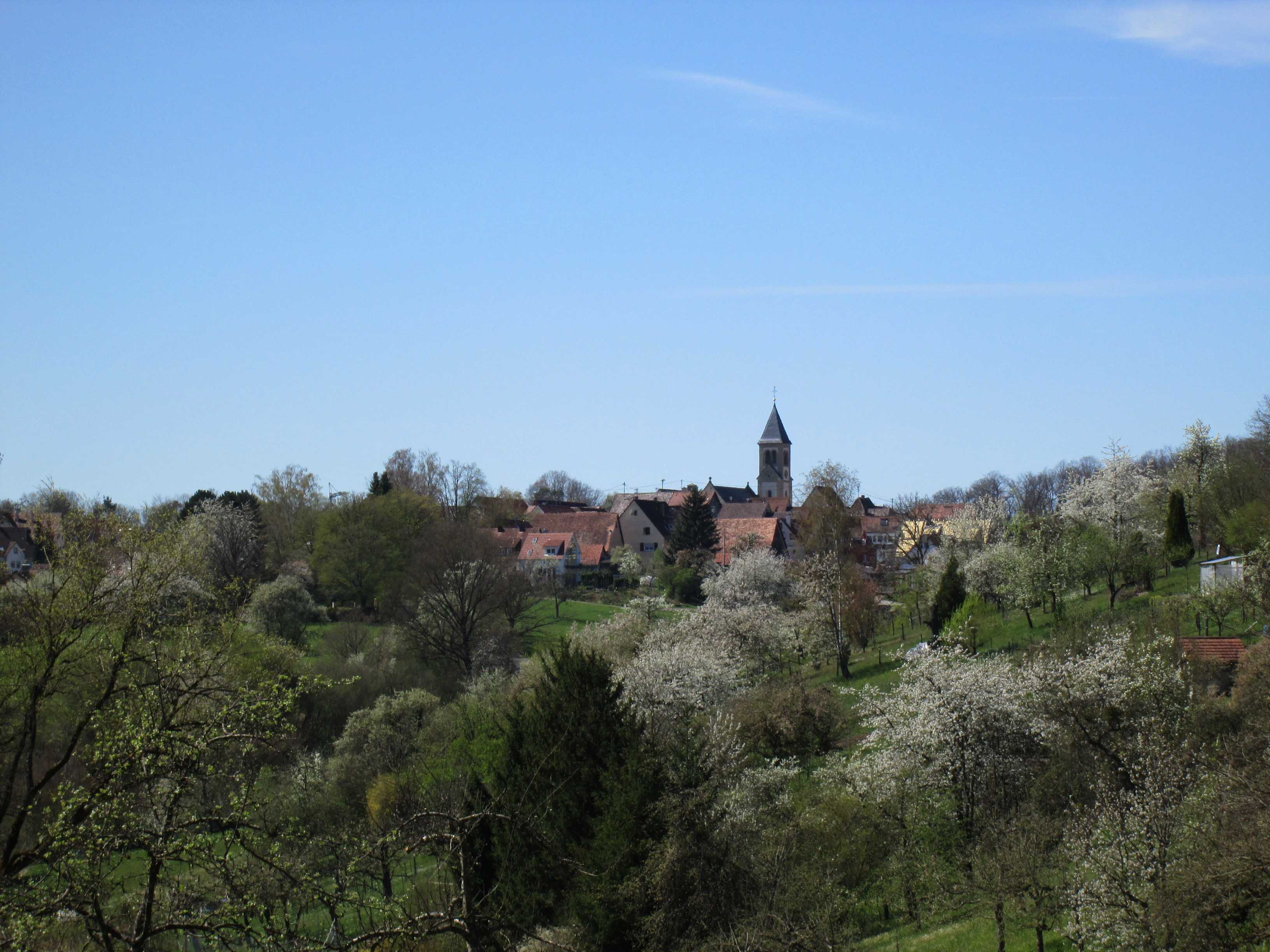
Chapel of Wurmlingen - Ammer valley - Pfaffenberg
Position Steinenbergturm
4 NOV 2023, 0935 UTC
Click to enlarge!
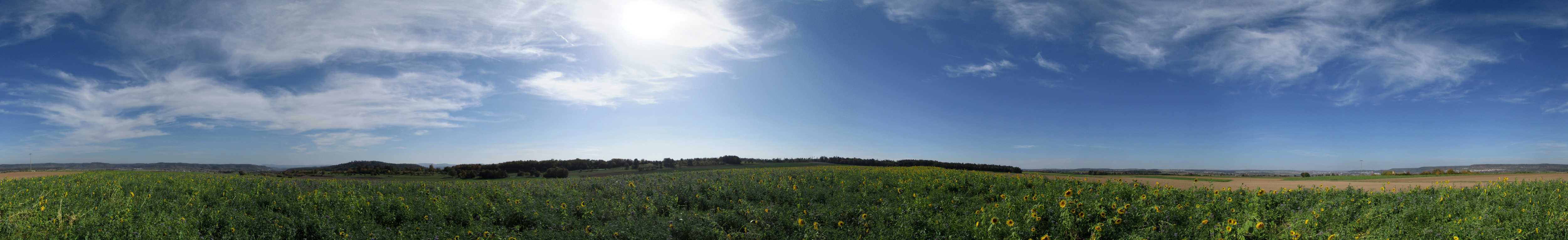
Common Sunflower (Helianthus annuus) field near Oberndorf
13 OCT 2023, 1118 UTC
Click to enlarge!
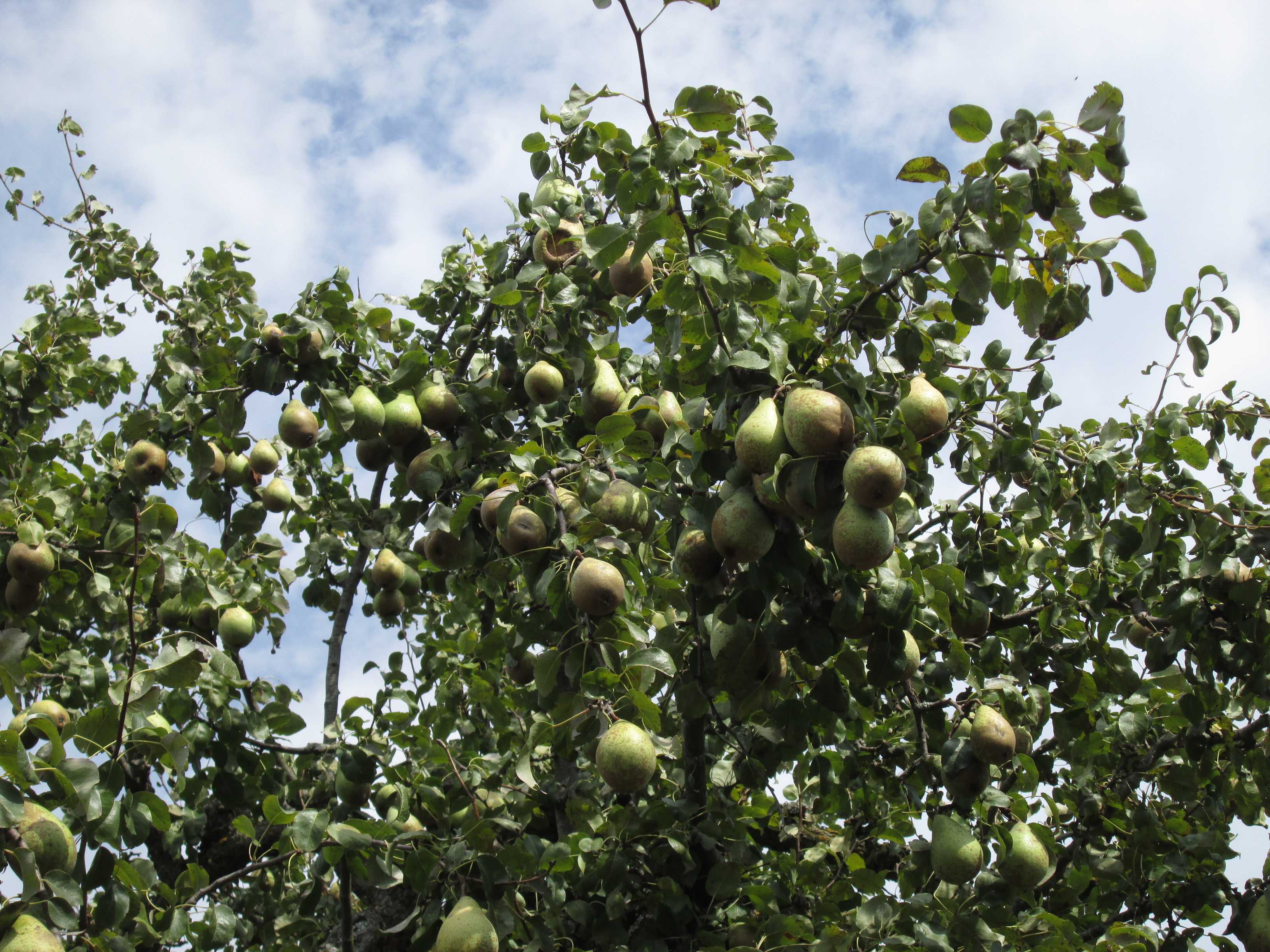
Common Pear (Pyrus communis, Comtesse de Paris) near Hagelloch
3 OCT 2023, 1018 UTC
Click to enlarge!
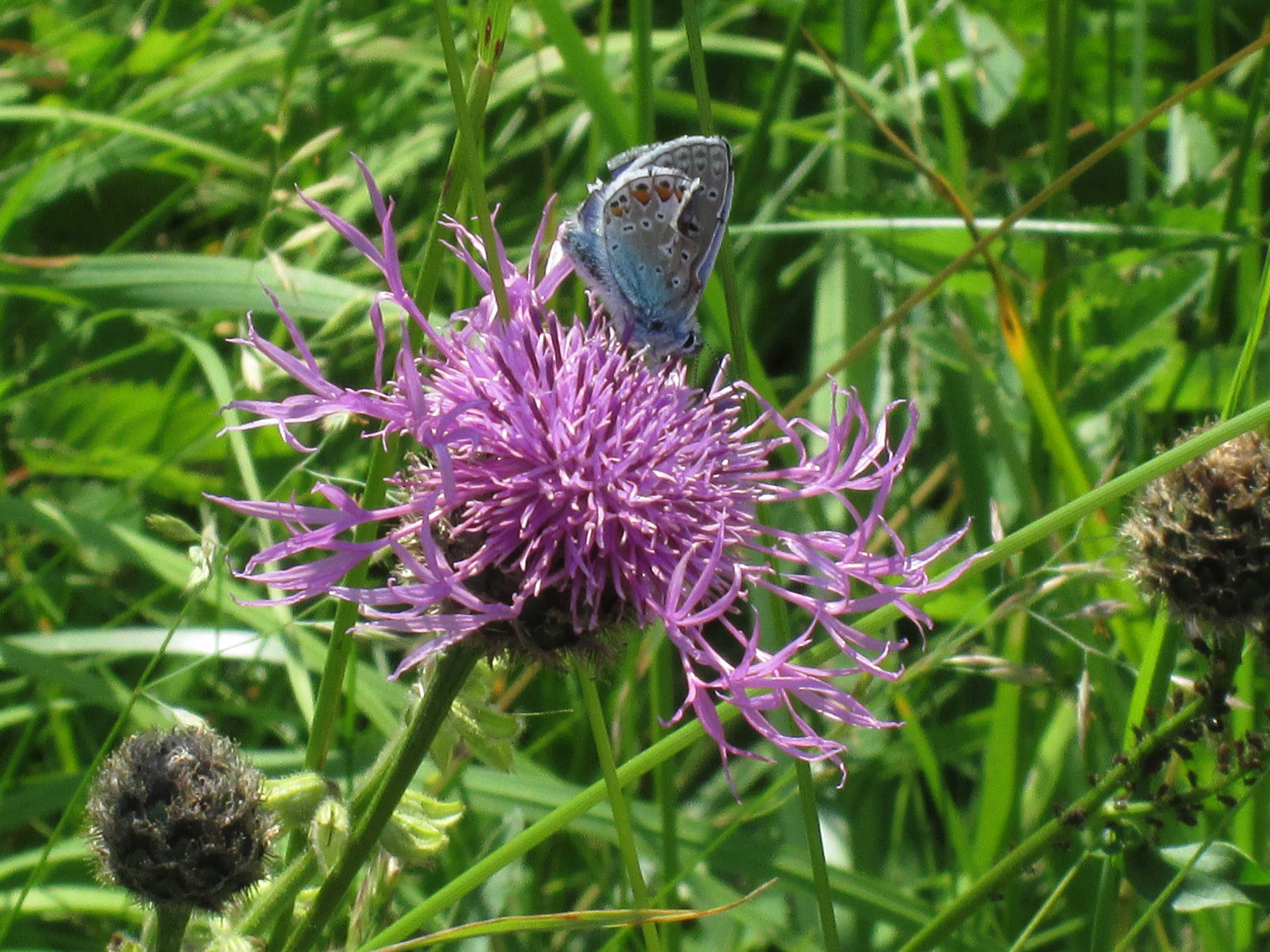
Amanda's Blue (Polyommatus amandus)
Location Ammer valley
7 JUN 2023, 1052 UTC
Click to enlarge!
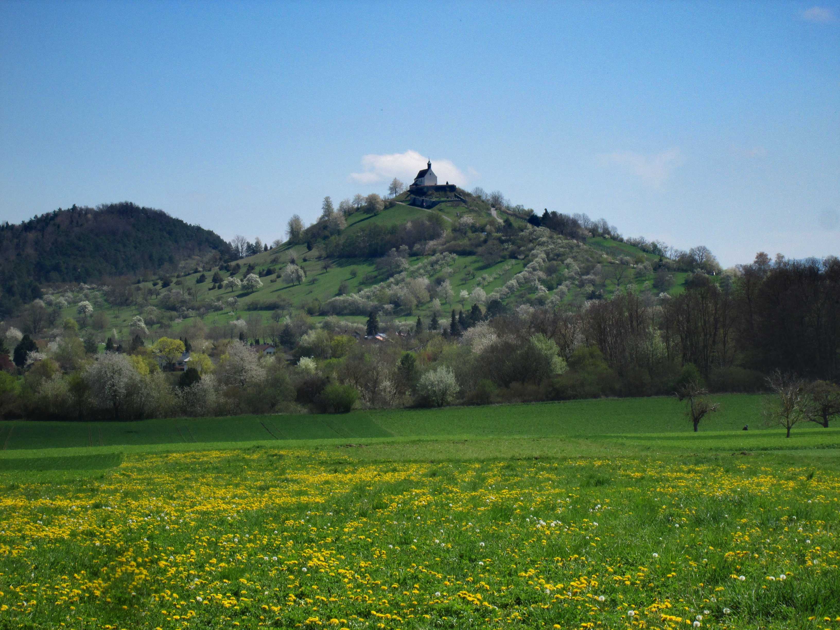
Chapel of Wurmlingen
21 APR 2023, 1104 UTC
Click to enlarge!
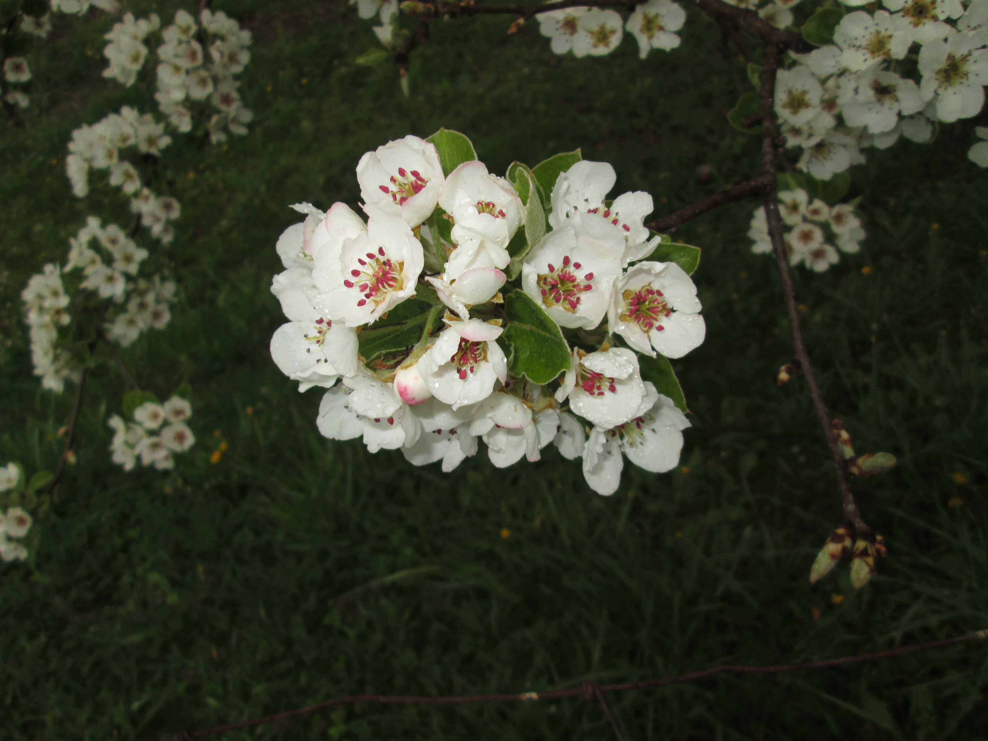
Apple flower (Malus domestica) near Hirschau
20 APR 2023, 1219 UTC
Click to enlarge!

Mirabelle Plum (Prunus domestica syriaca) near Wurmlingen
26 MAR 2023, 1140 UTC
Click to enlarge!
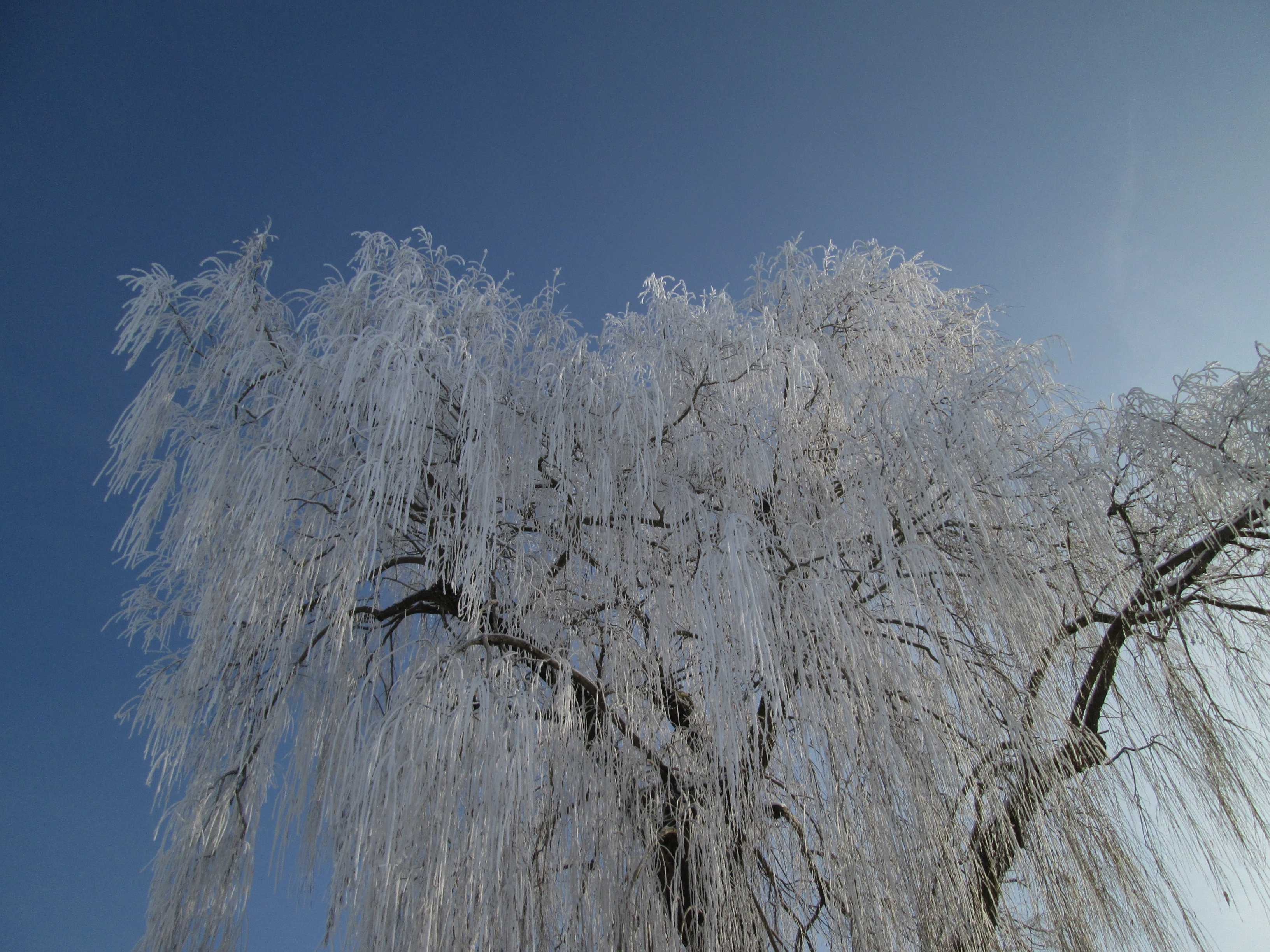
Hard rime ice on a Babylon Willow (Salix babylonica) near Rottenburg
18 DEC 2022, 1137 UTC
Click to enlarge!
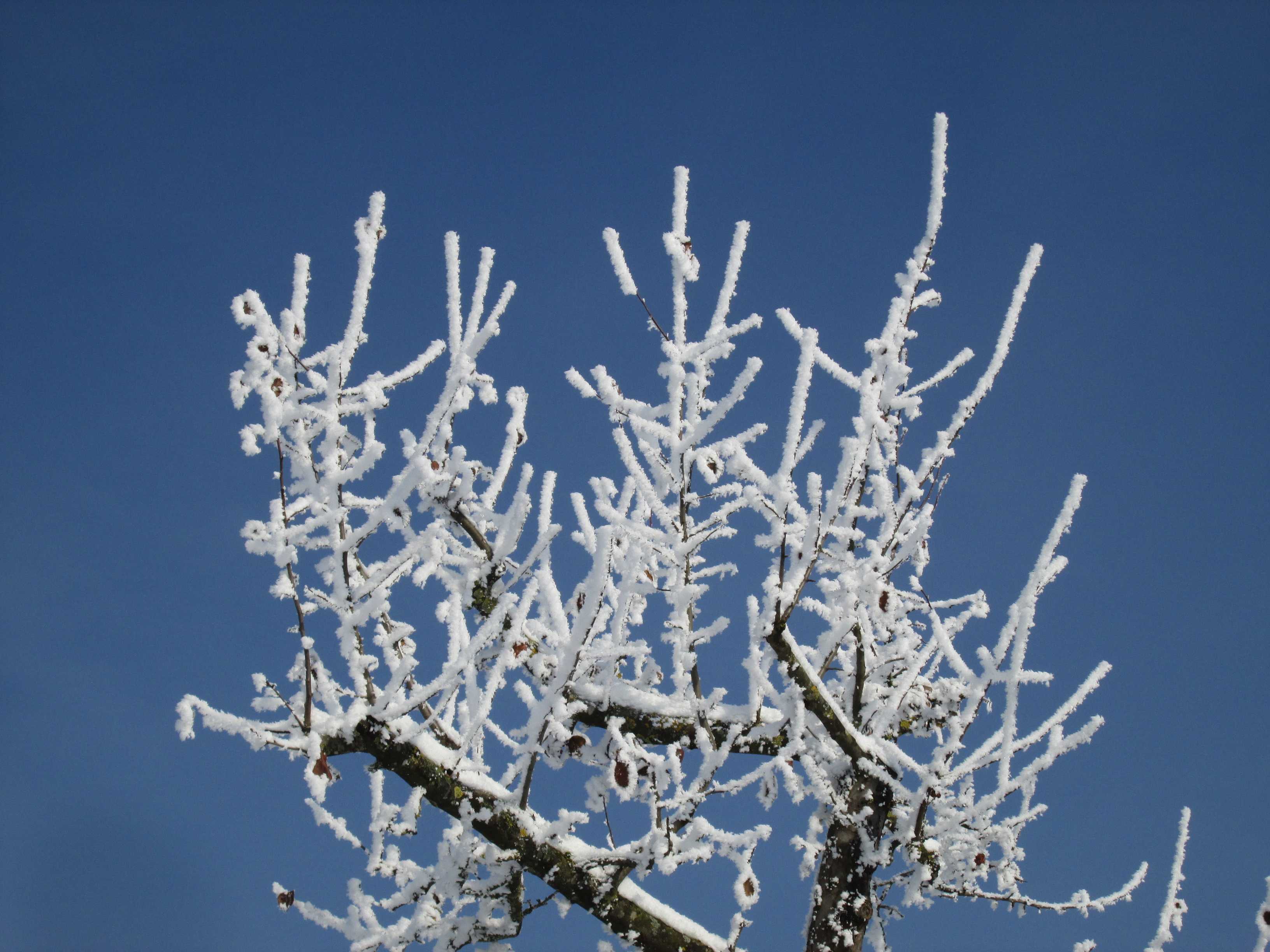
Hard rime ice on an apple tree, after a foggy night near Hirschau
18 DEC 2022, 1050 UTC
Click to enlarge!
The UFO has landed ... near Ringingen
27 OCT 2022, 1238 UTC
Click to enlarge!

Schwäbische Alb
Position Chapel of Salmendingen
27 OCT 2022, 1028 UTC
Click to enlarge!
Ammer valley near the Chapel of Wurmlingen, on the right
26 AUG 2022, 1033 UTC
Click to enlarge!
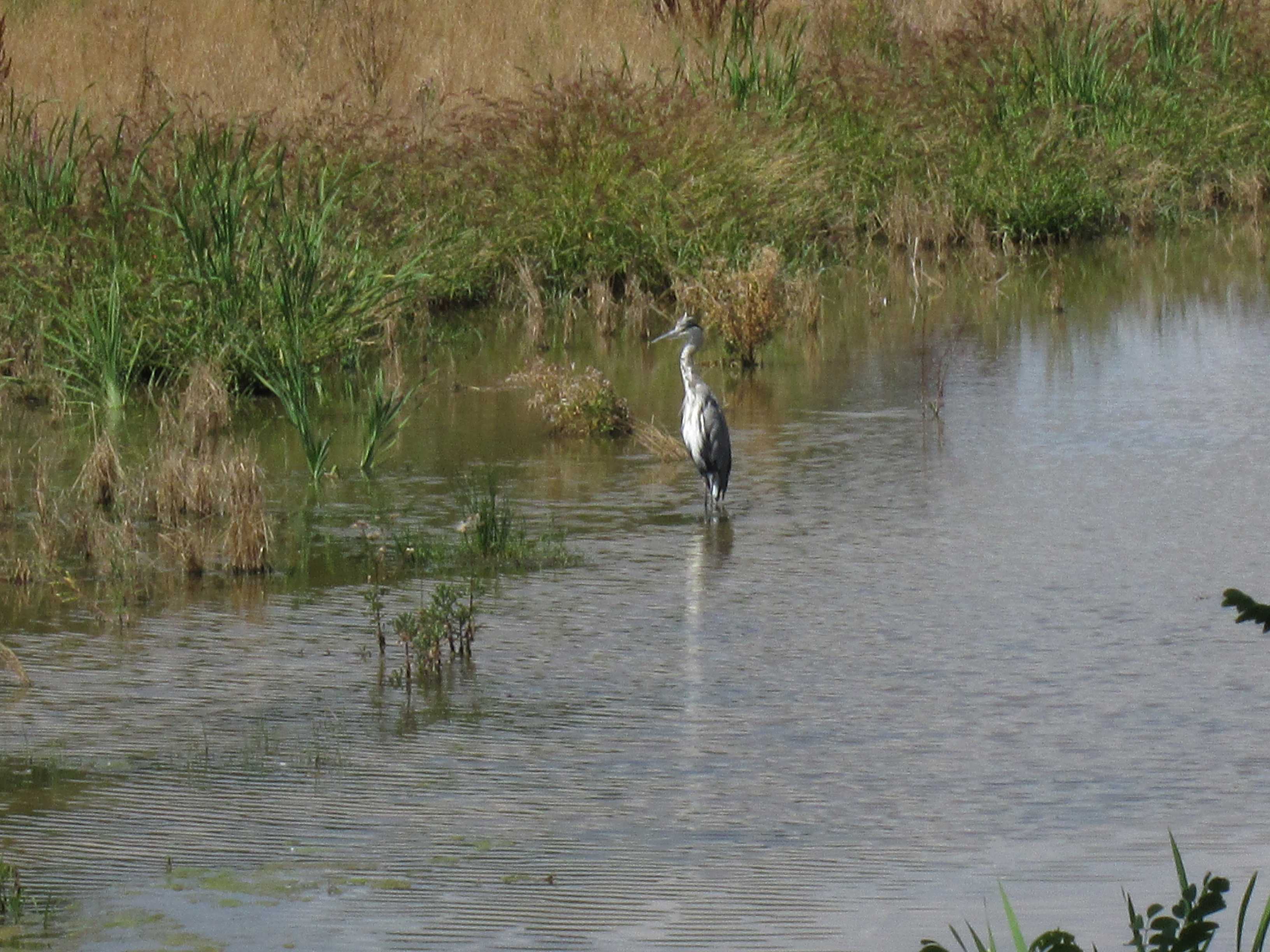
Grey Heron (Ardea cinerea)
Location Ammer valley
15 AUG 2022, 1027 UTC
Click to enlarge!
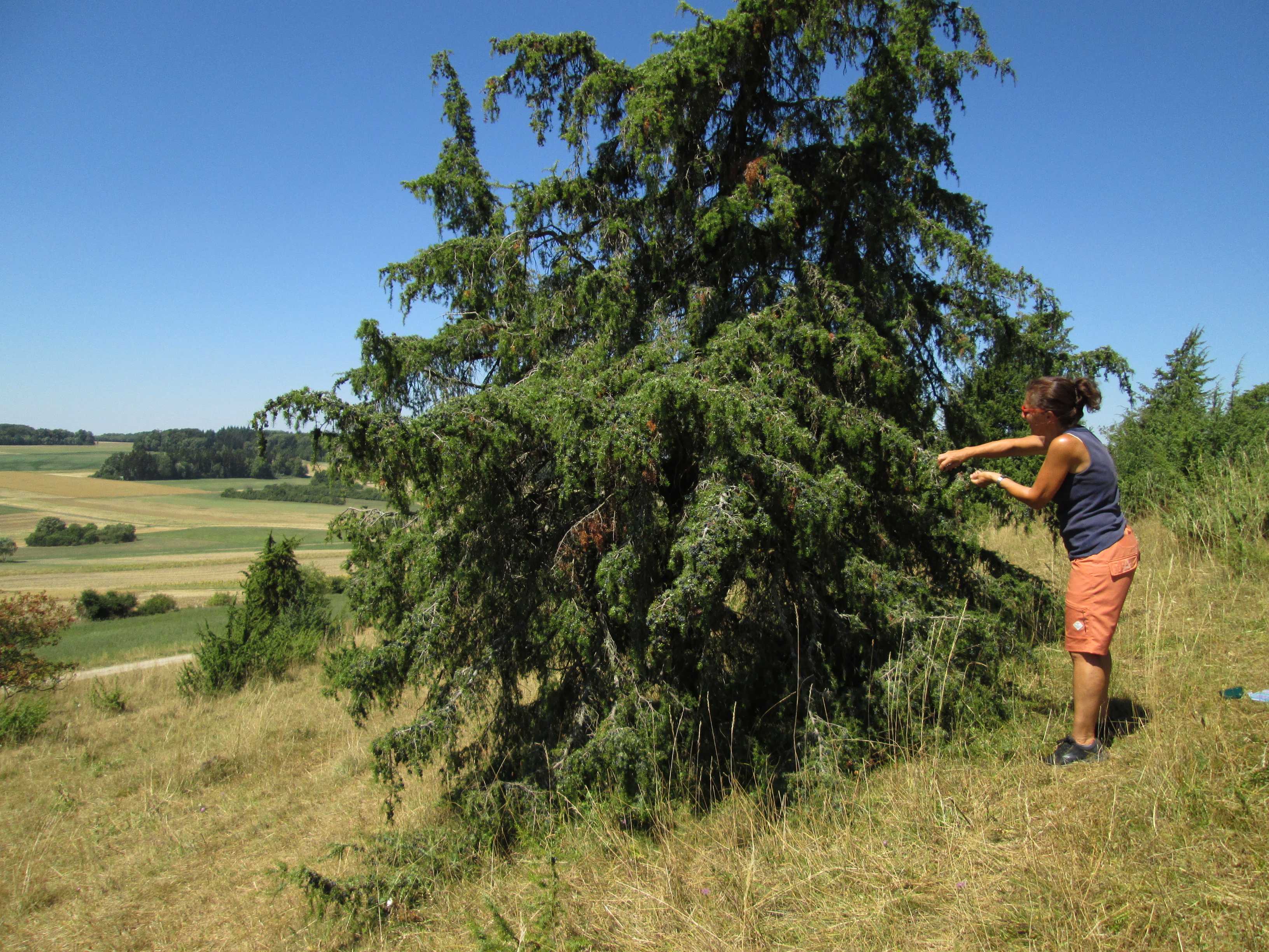
Common Juniper (Juniperus communis), five metres tall ...
Location Kornbühl
11 AUG 2022, 1101 UTC
Click to enlarge!
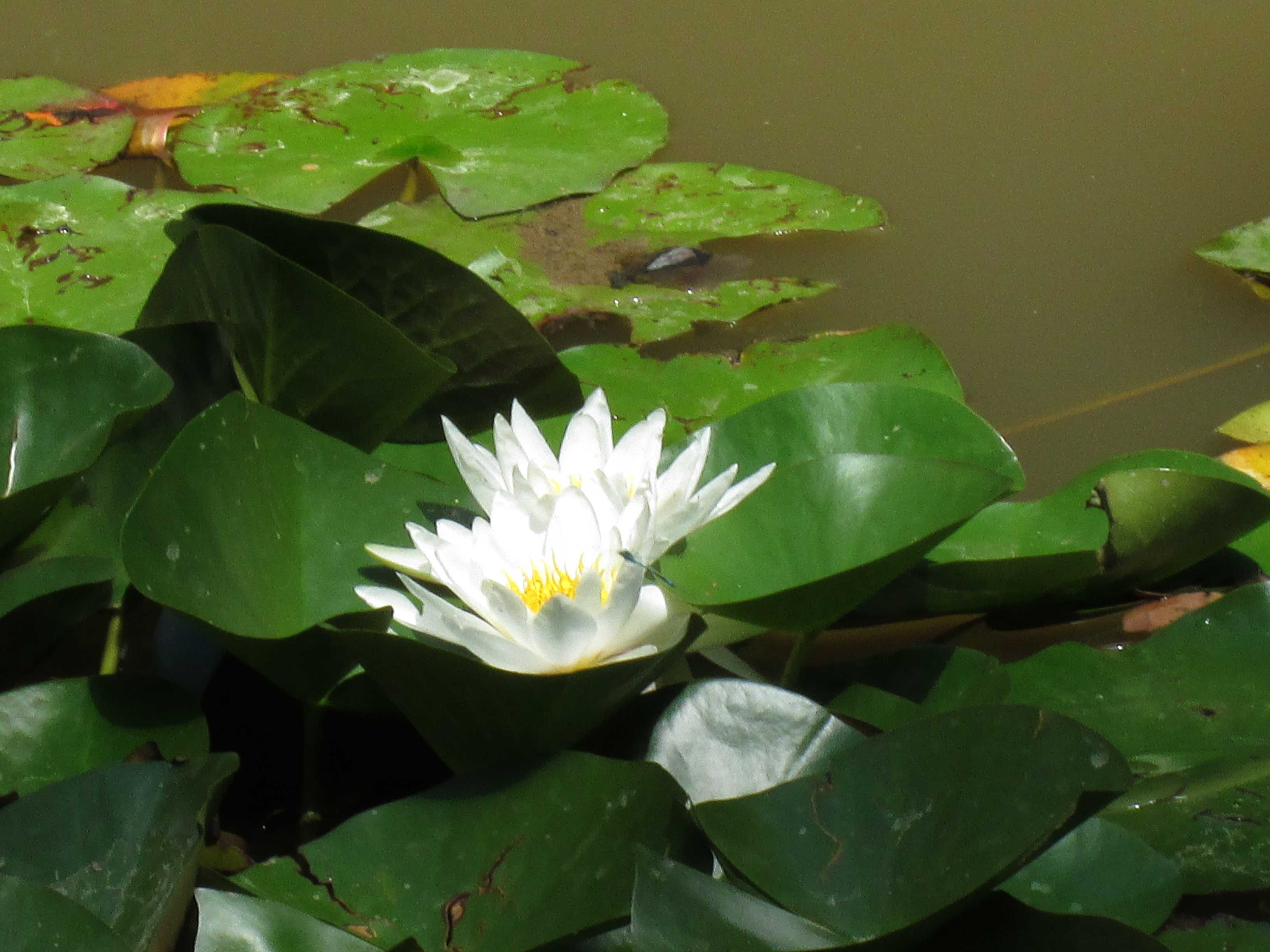
European White Water Lily (Nymphaea alba) in the Spitzberg Nature Reserve
14 JUL 2022, 1240 UTC
Click to enlarge!
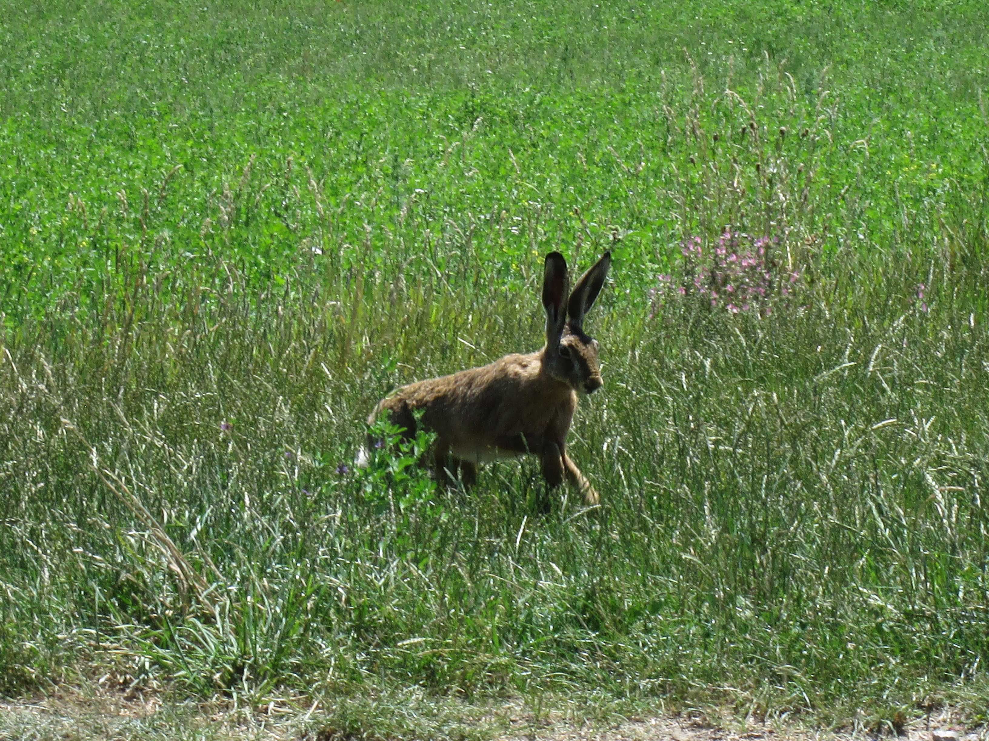
European Hare (Lepus europaeus) near Wendelsheim
8 JUL 2022, 1145 UTC
Click to enlarge!
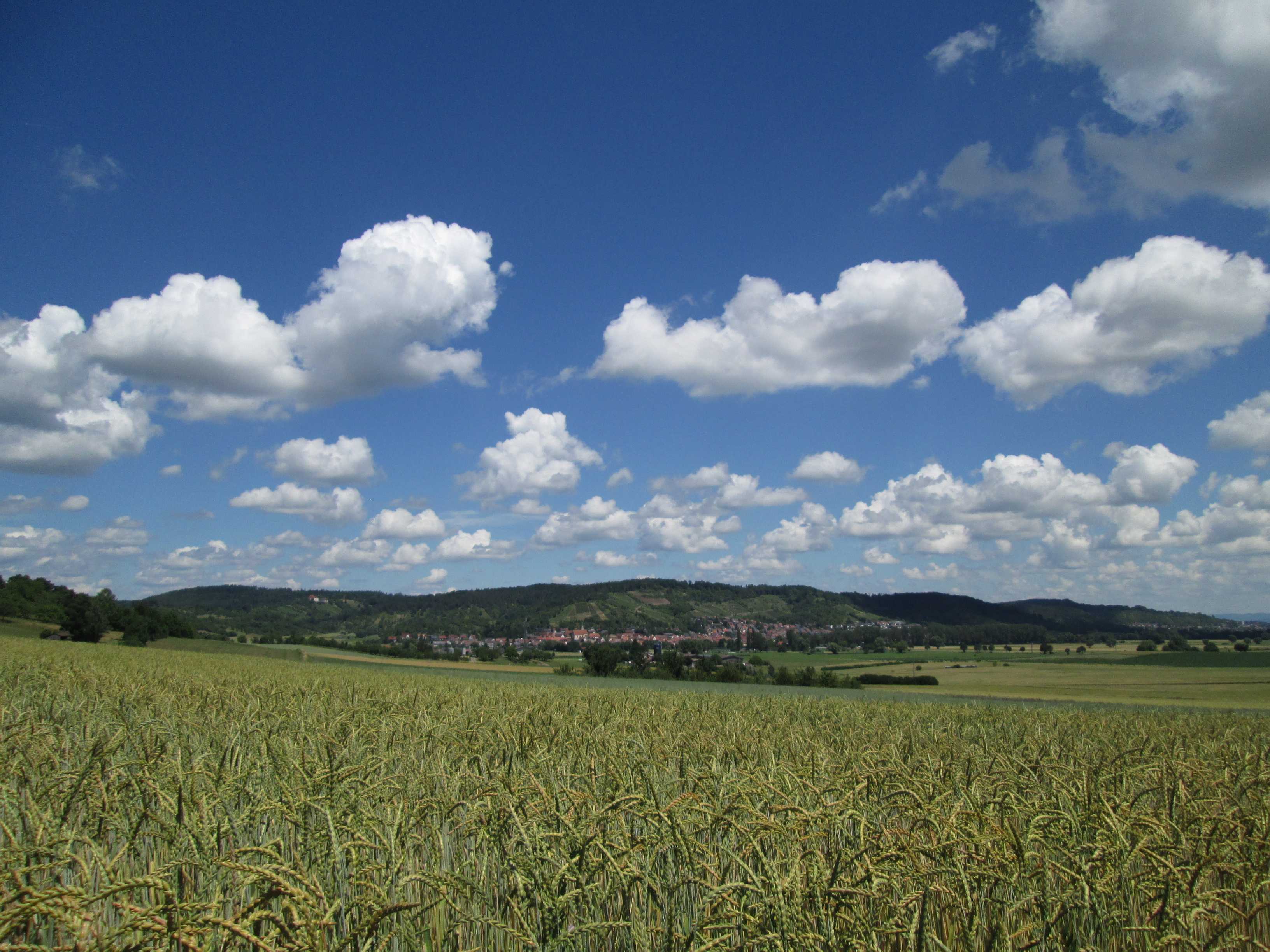
Common Wheat (Triticum aestivum) field near Unterjesingen
25 JUN 2022, 1143 UTC
Click to enlarge!
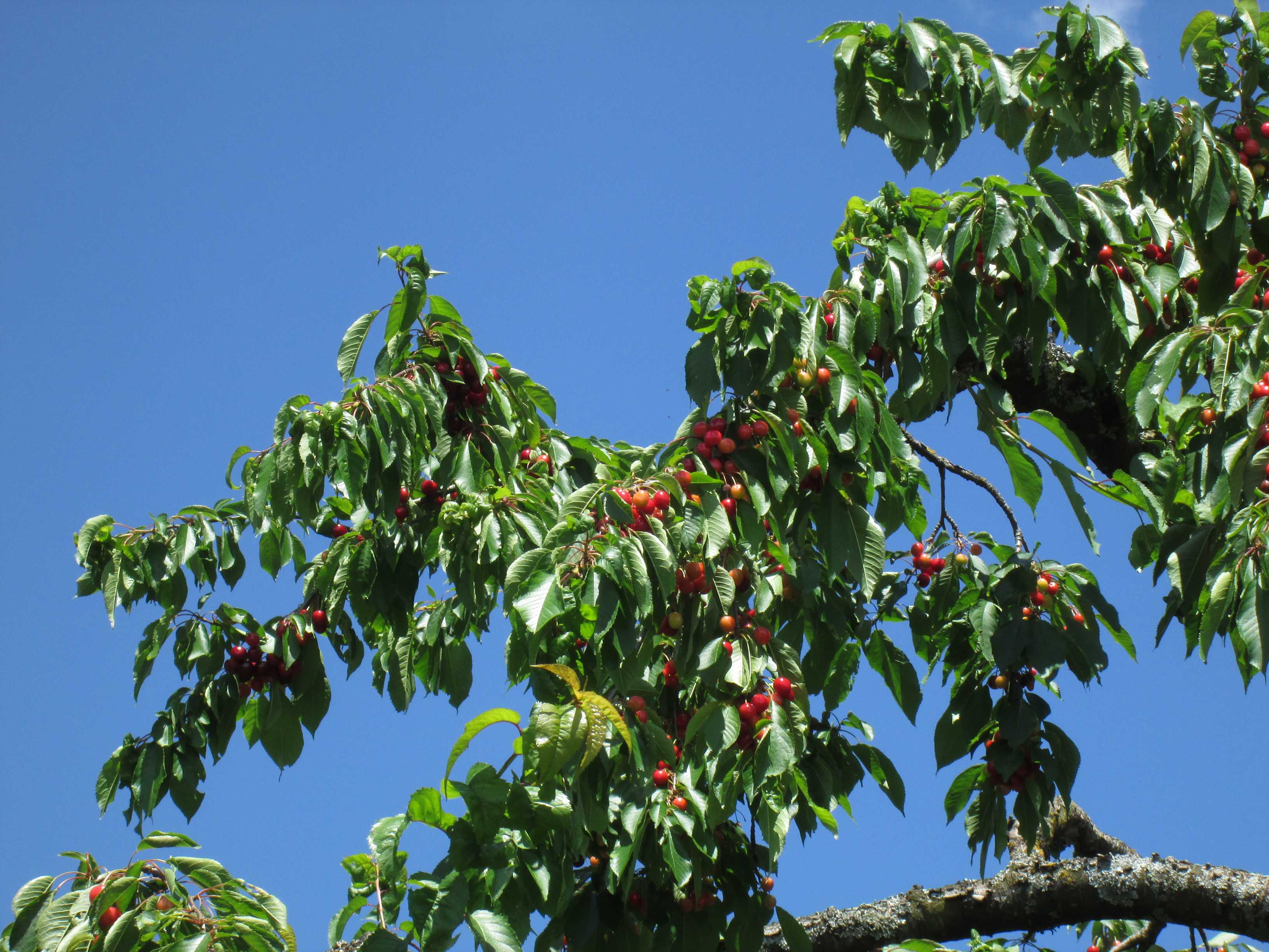
Zoom into paradise ... Cherries near Wendelsheim
10 JUN 2022, 1136 UTC
Click to enlarge!
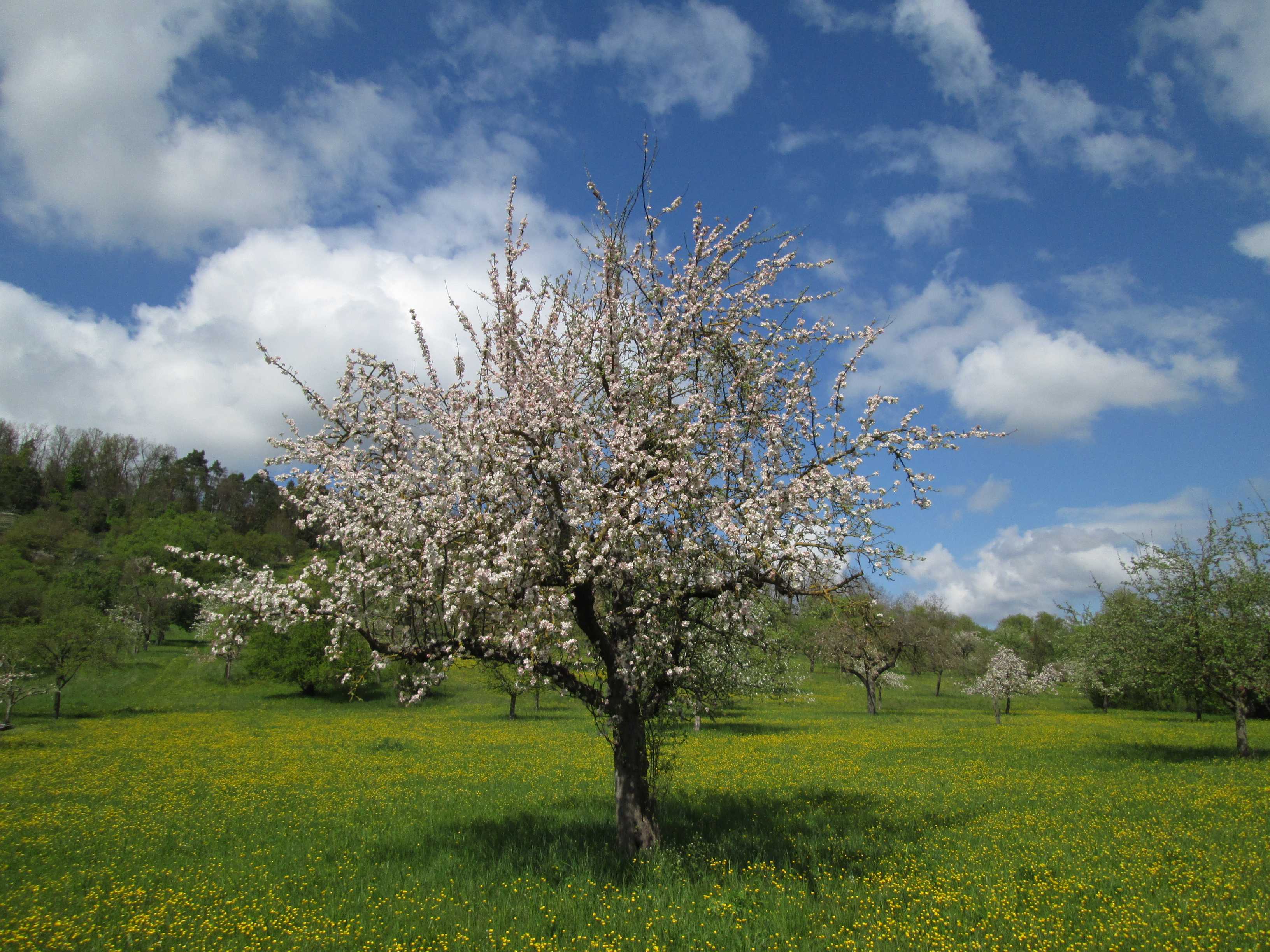
Scattered fruit orchard near Wendelsheim
27 APR 2022 , 1316 UTC
Click to enlarge!
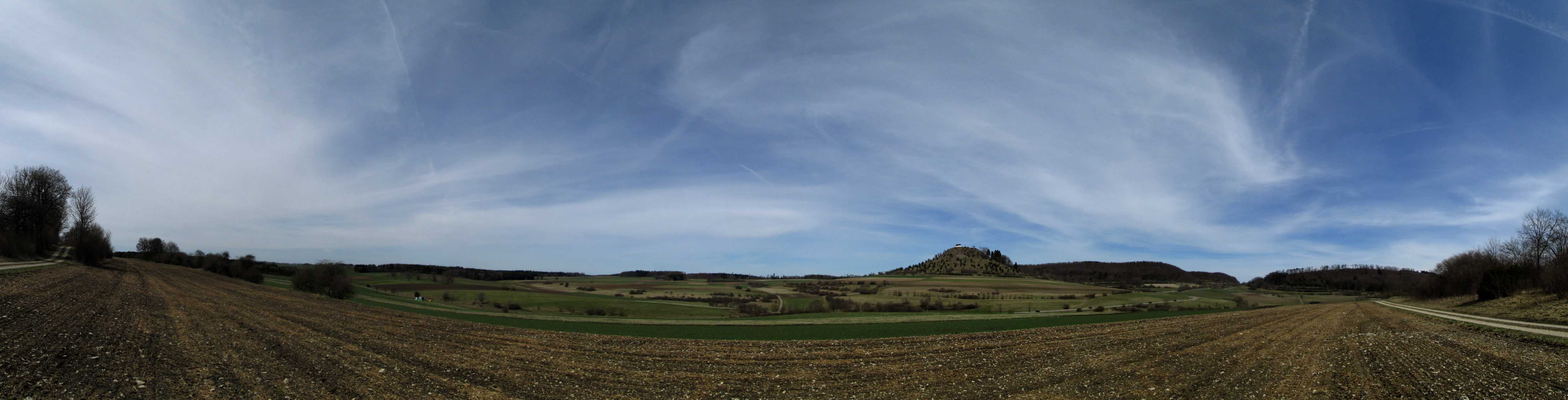
Schwäbische Alb
Stony soil - a hard life up there...
Position Southern Bühl
12 APR 2022, 1045 UTC
Click to enlarge!
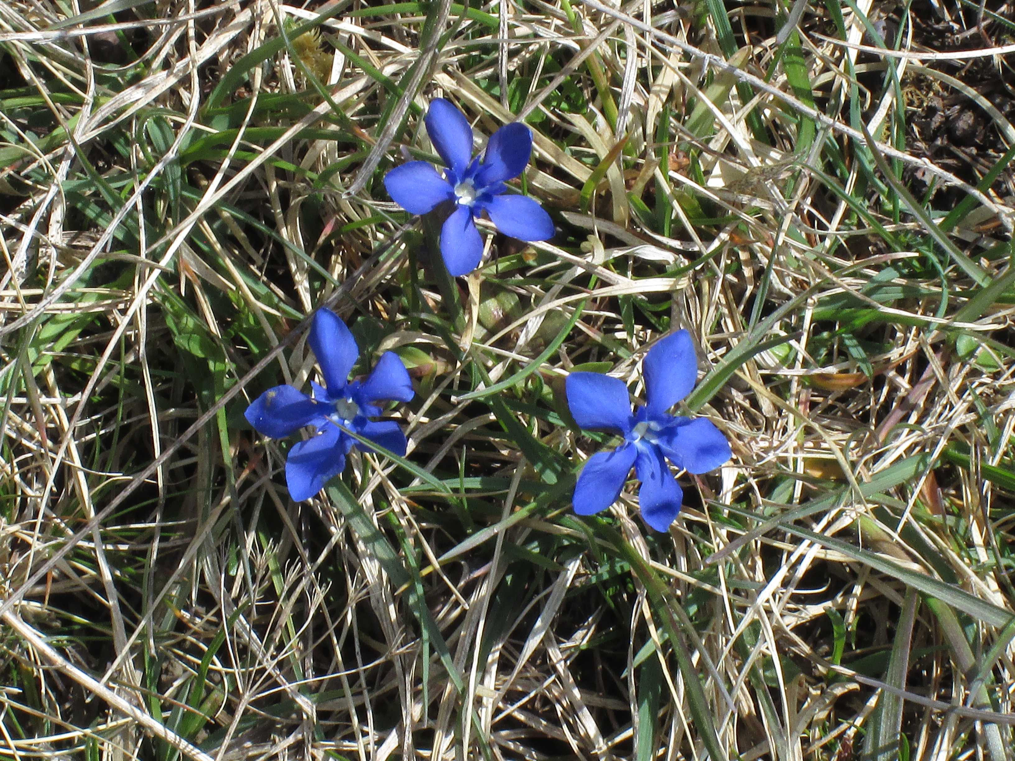
Spring Gentian (Gentiana verna) at the Chapel of Salmendingen
12 APR 2022, 1026 UTC
Click to enlarge!
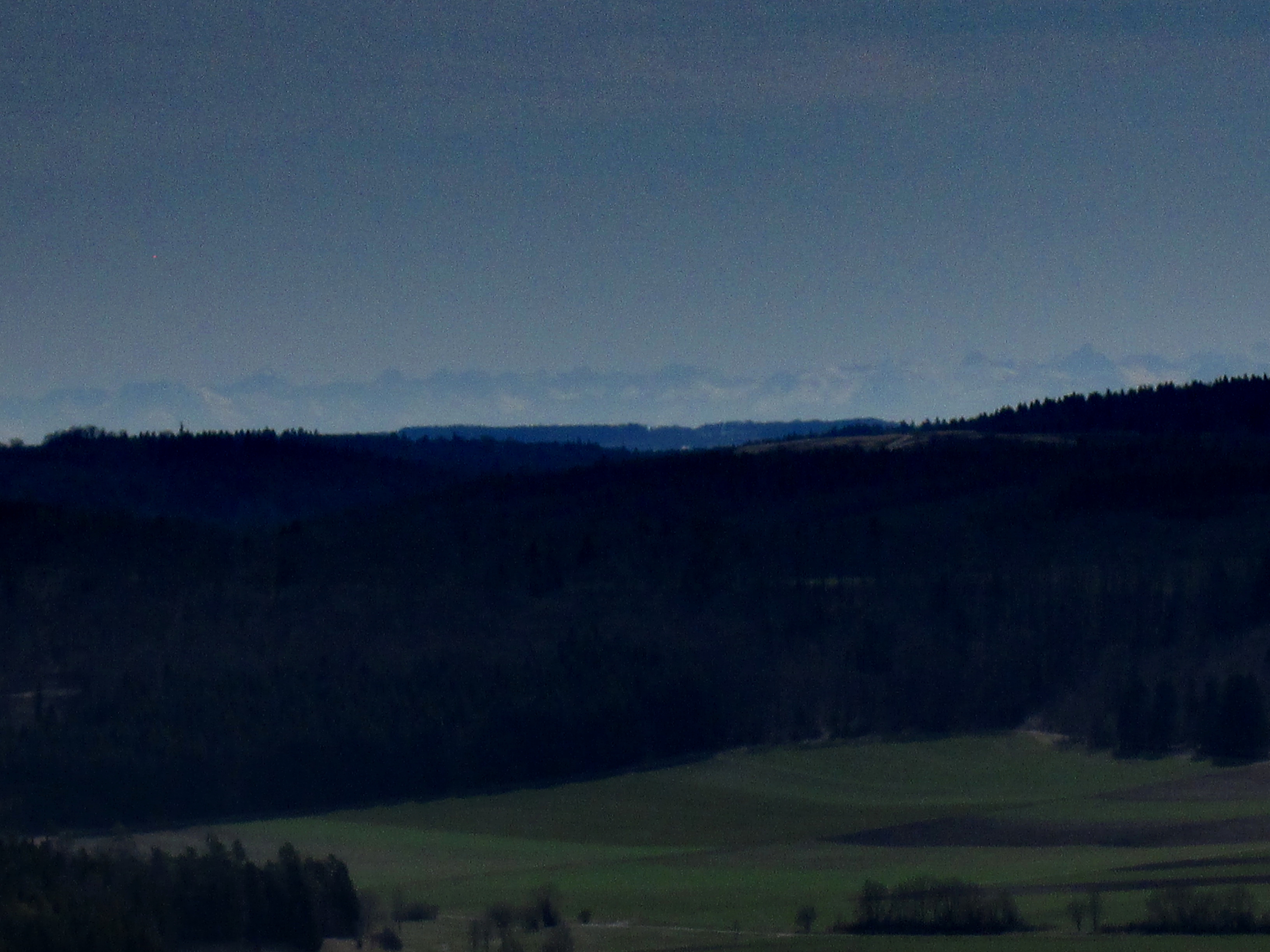
Believe it or not: a small CANON Powershot A1400 with the size of a cigarette pack
and a weight of 126 grammes plus two AA batteries
shows the Allgäuer Alps at a distance of 150 kilometres!
Position Chapel of Salmendingen
12 APR 2022, 1012 UTC
Click to enlarge!
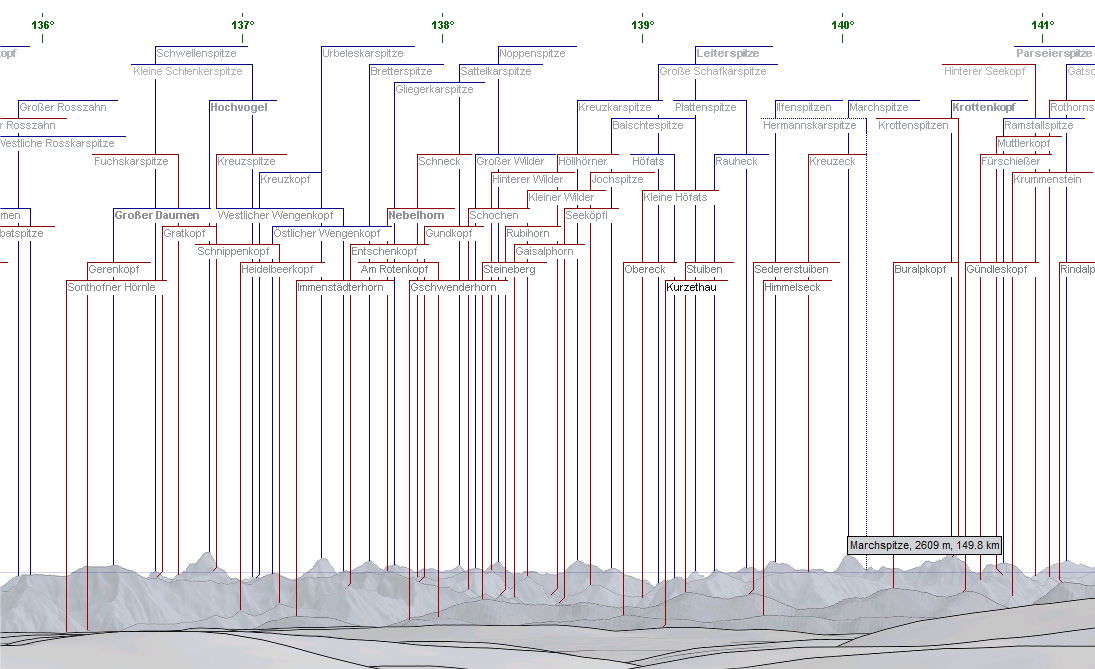
Peakfinder courtesy of Alpenpanoramen
Click to enlarge!
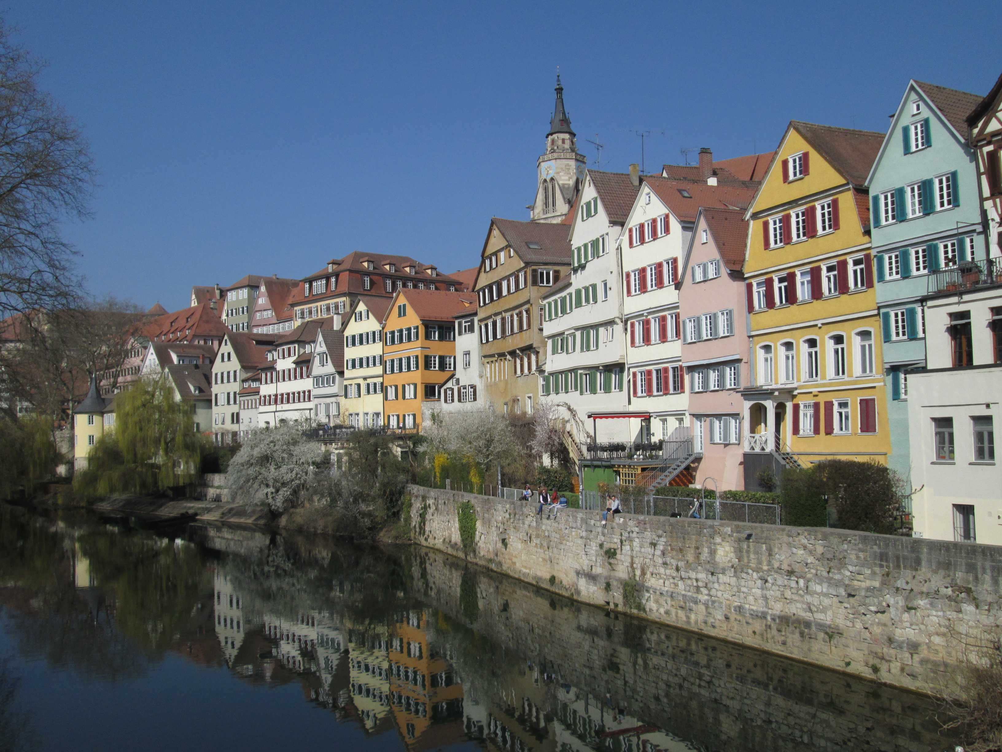
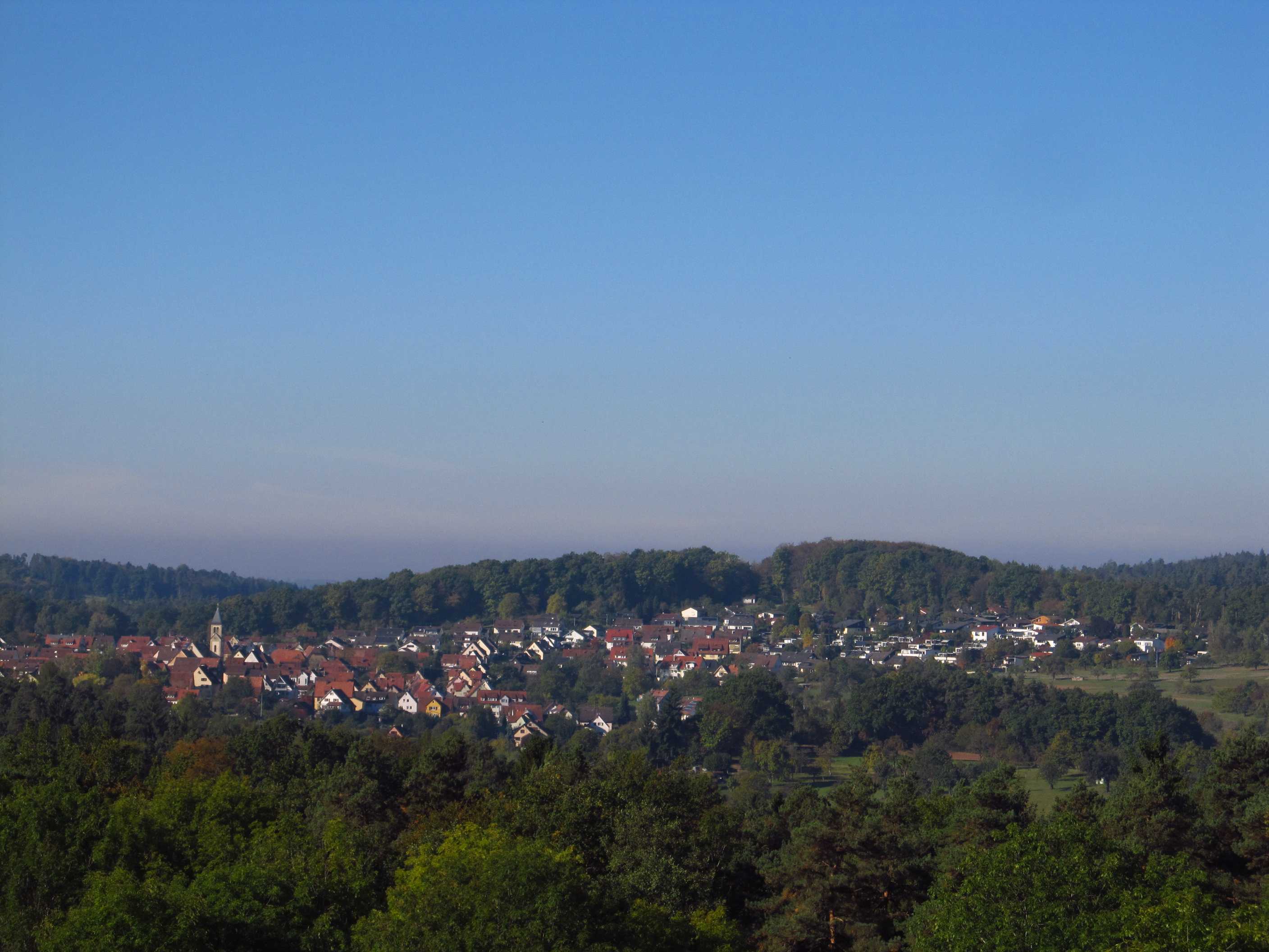
Tuebingen
Neckar riverside and medieval old town
with Stiftskirche, founded in 1188
26 MAR 2022, 0934 UTC
Click to enlarge!
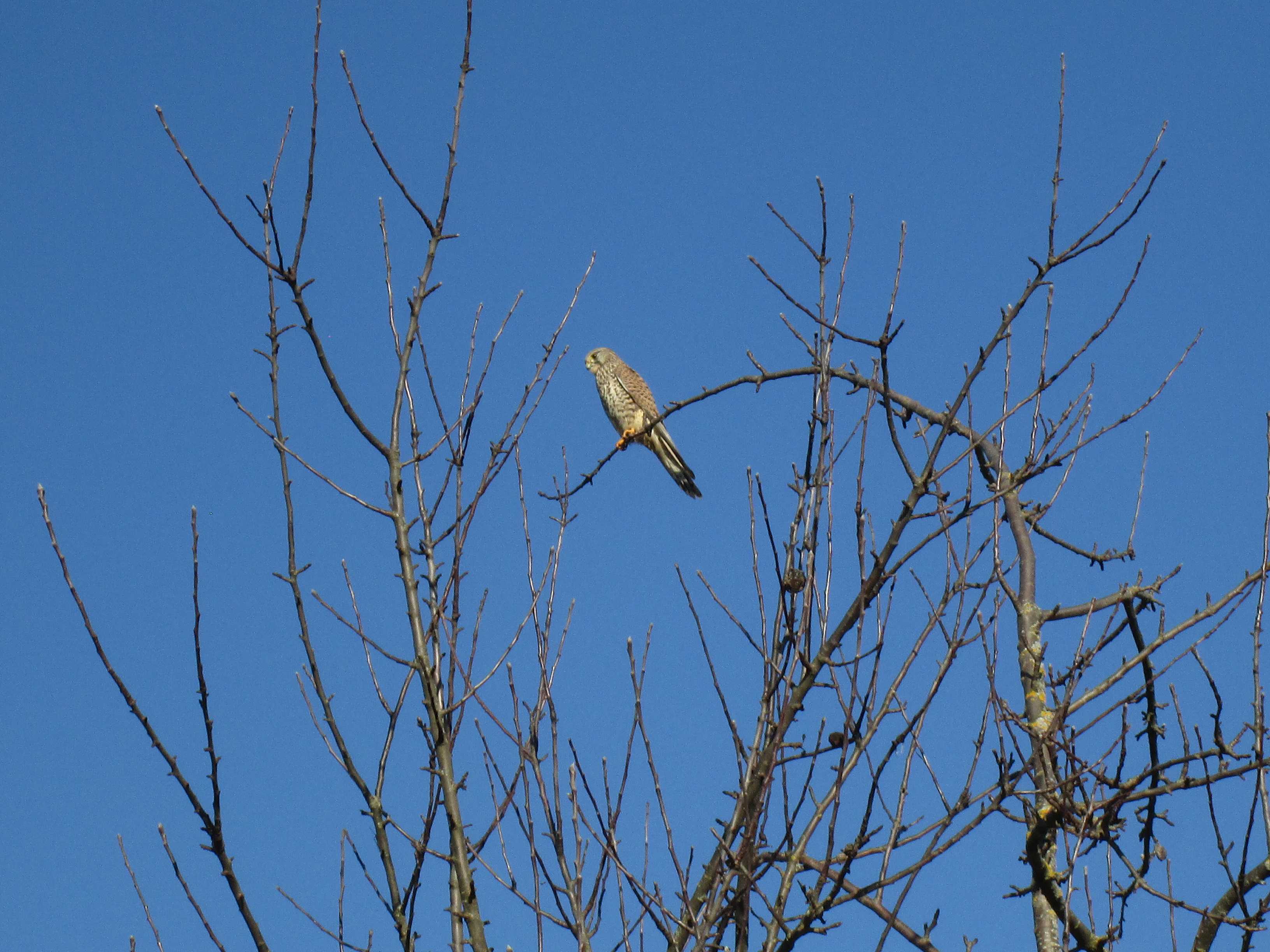
Common Kestrel (Falco tinnunculus) near Wendelsheim
17 DEC 2021, 1209 UTC
Click to enlarge!
Neckar valley - Wurmlingen - Ammer valley
Position Chapel of Wurmlingen
19 NOV 2021, 1220 UTC
Click to enlarge!
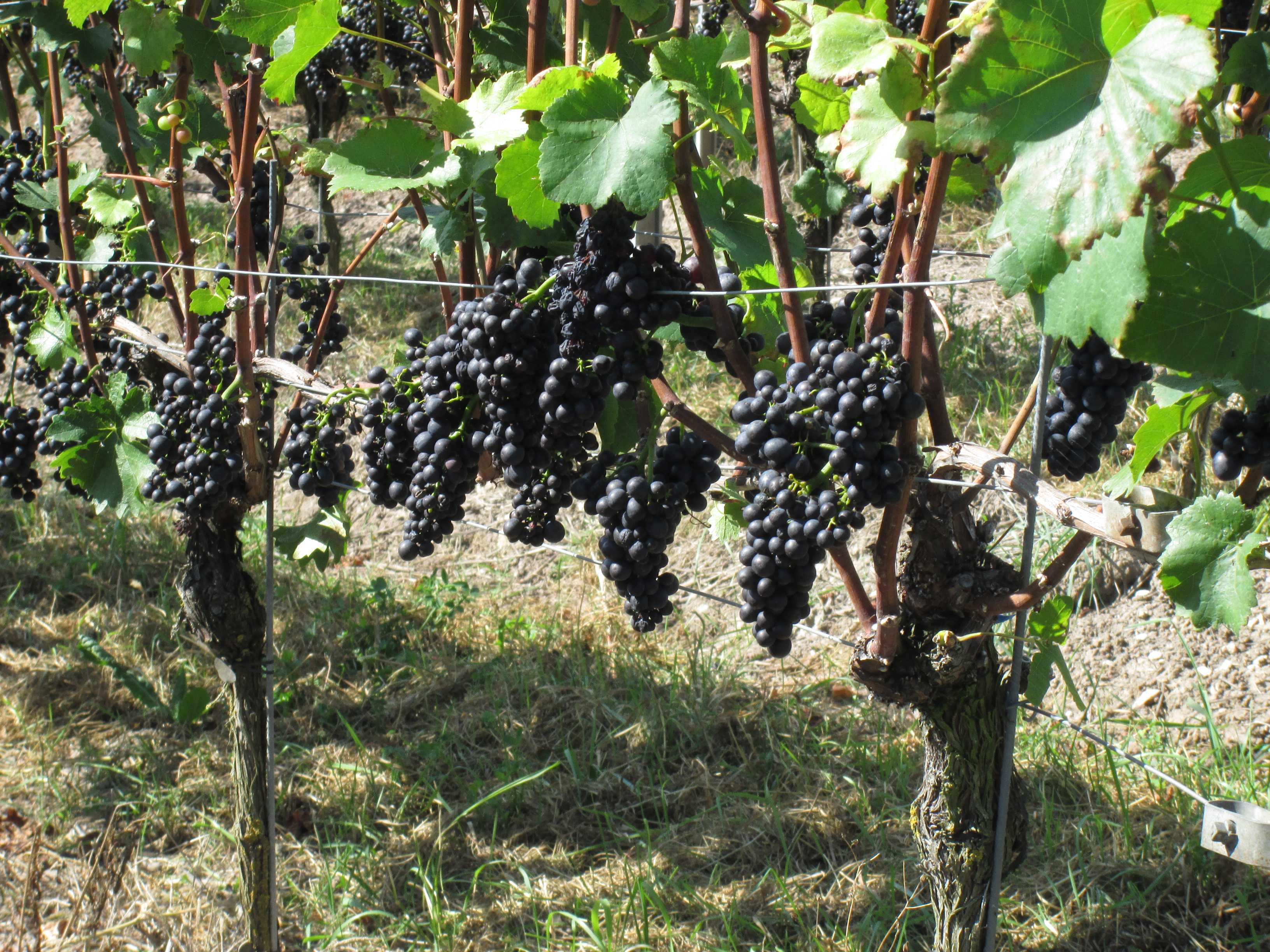
Grapes in the Unterjesingen vineyard
2 OCT 2021, 1037 UTC
Click to enlarge!
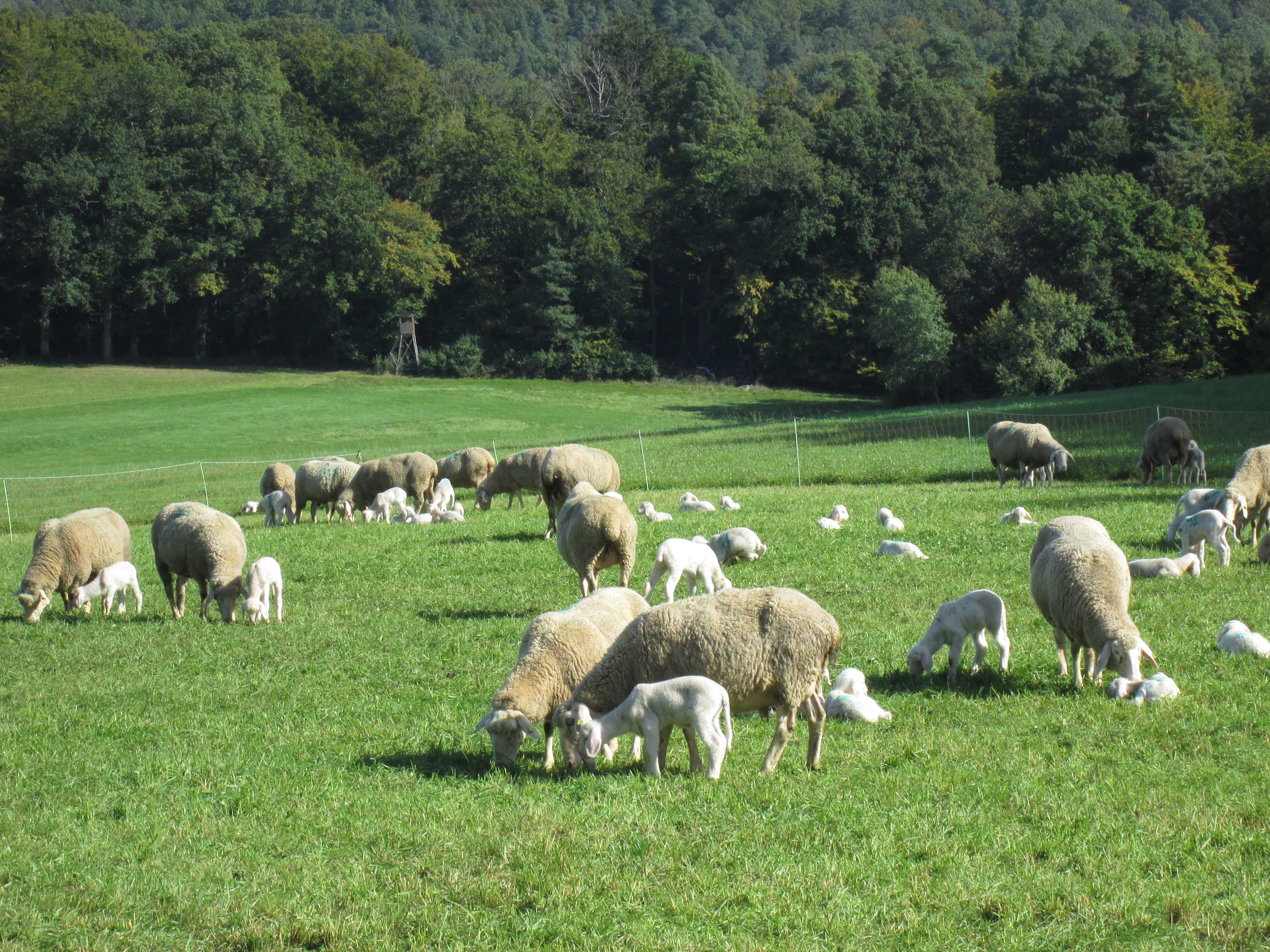
Sheep (Ovis aries) with many small lambs near Hagelloch
2 OCT 2021, 1001 UTC
Click to enlarge!
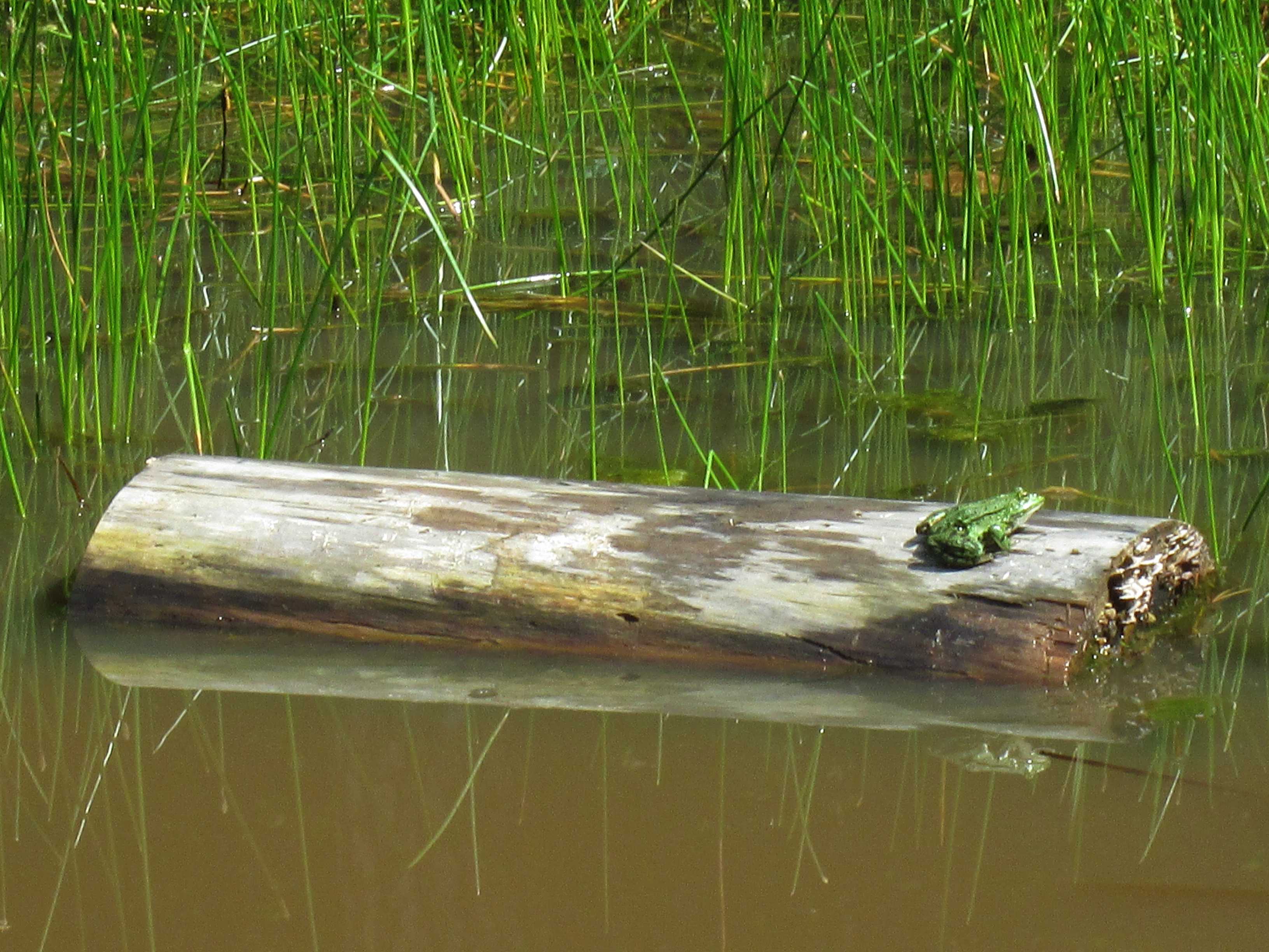
Edible Frog (Pelophylax esculentus) in the Spitzberg Nature Reserve
4 JUL 2021, 0922 UTC
Click to enlarge!

Tuebingen
Stand-up paddling on the Neckar river
Muddy water after the heavy thunderstorm a few days before
27 JUN 2021, 1144 UTC
Click to enlarge!
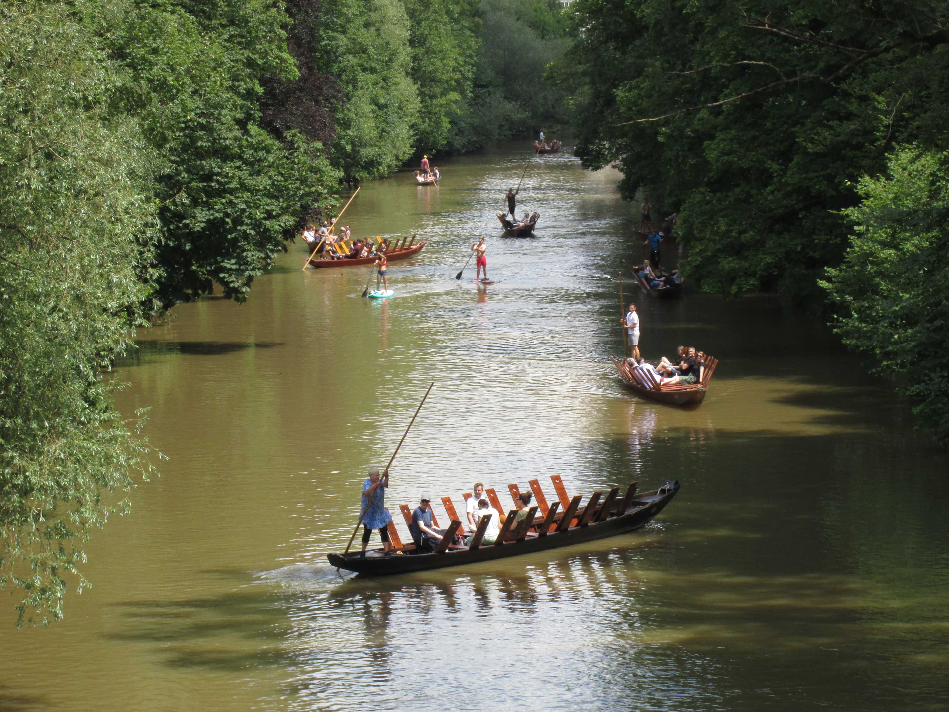
Tuebingen
Neckar river with typical punt boats
27 JUN 2021, 1142 UTC
Click to enlarge!
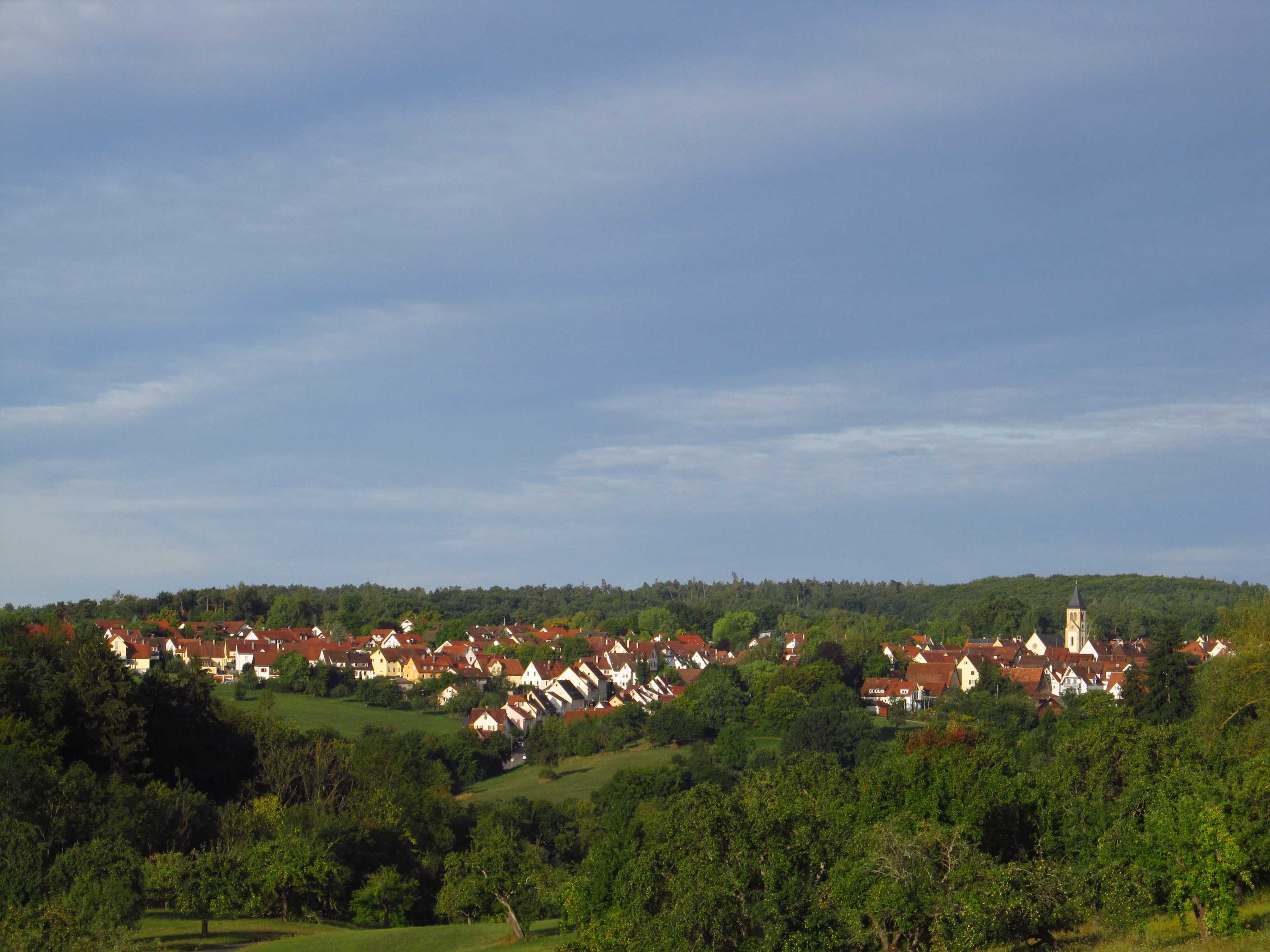
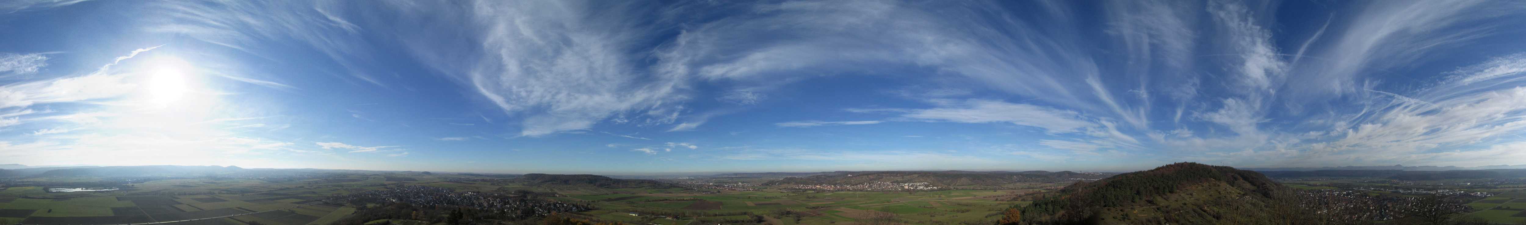
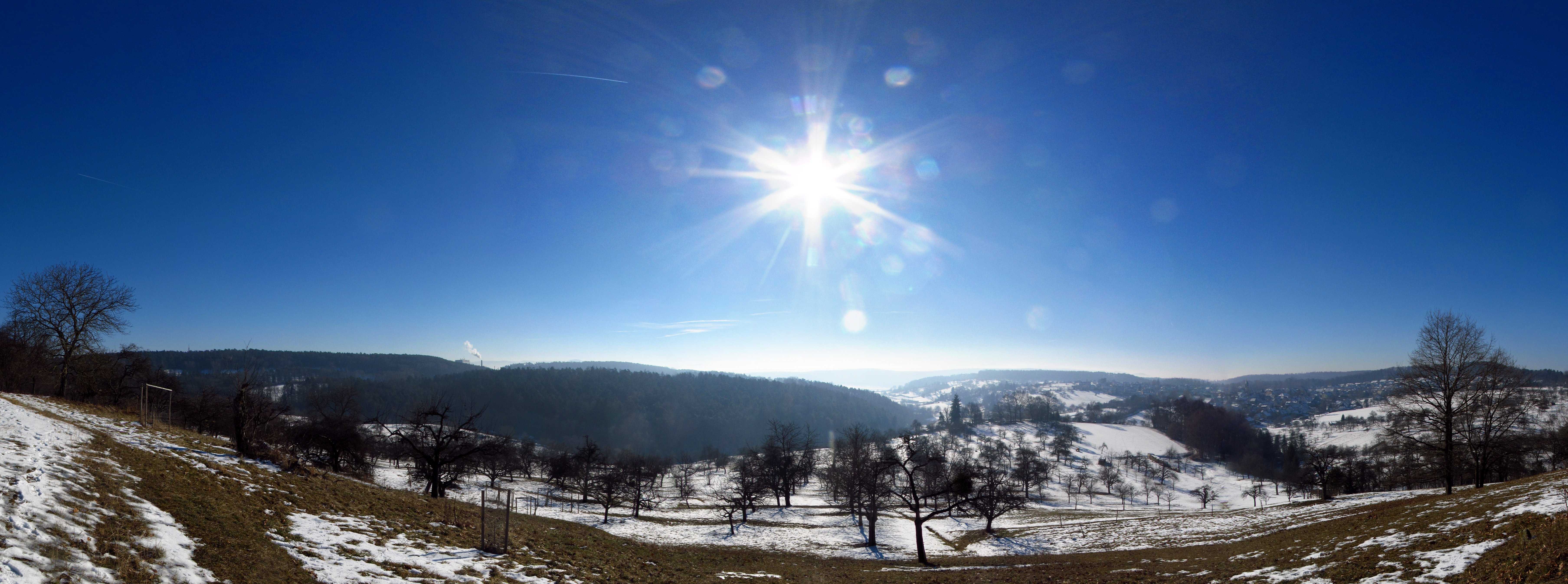
Neckar valley near Hirschau
Position Spitzberg Nature Reserve
The mountains in the background are the Schwaebische Alb,
peaking around 1,100 metres altitude
5 MAY 2021, 1246 UTC
Click to enlarge!
Lake of Fairytales in the Pfaffenberg Nature Reserve
19 AUG 2020, 1204 UTC
Click to enlarge!
Hagelloch
15 AUG 2020, 1007 UTC
Click to enlarge!

Red Squirrel (Sciurus vulgaris)
Location Weilers Creek near Hagelloch
9 AUG 2020, 1002 UTC
Click to enlarge!
Barley (Hordeum vulgare) field in the Ammer valley
12 JUN 2020, 1058 UTC
Click to enlarge!
Spring colours in the Unterjesingen vineyard
1 APR 2020, 1121 UTC
Click to enlarge!

Local carnival in Hirschau
Big fun - and sweeties! - for the kids
24 FEB 2020, 1304 UTC
Click to enlarge!
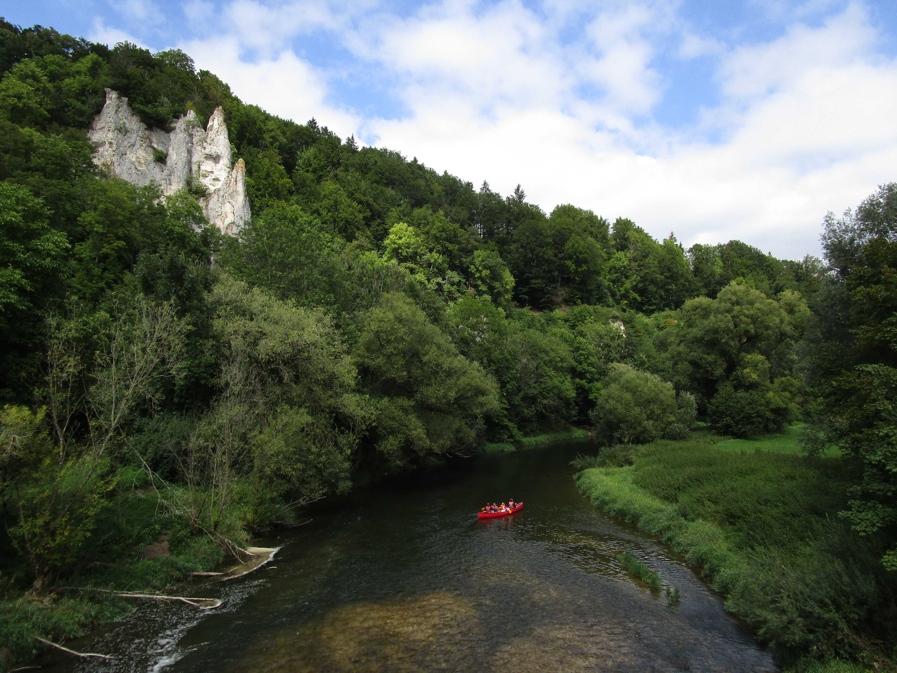
Boating on the Donau river near Inzigkofen
22 AUG 2019, 1146 UTC
Click to enlarge!
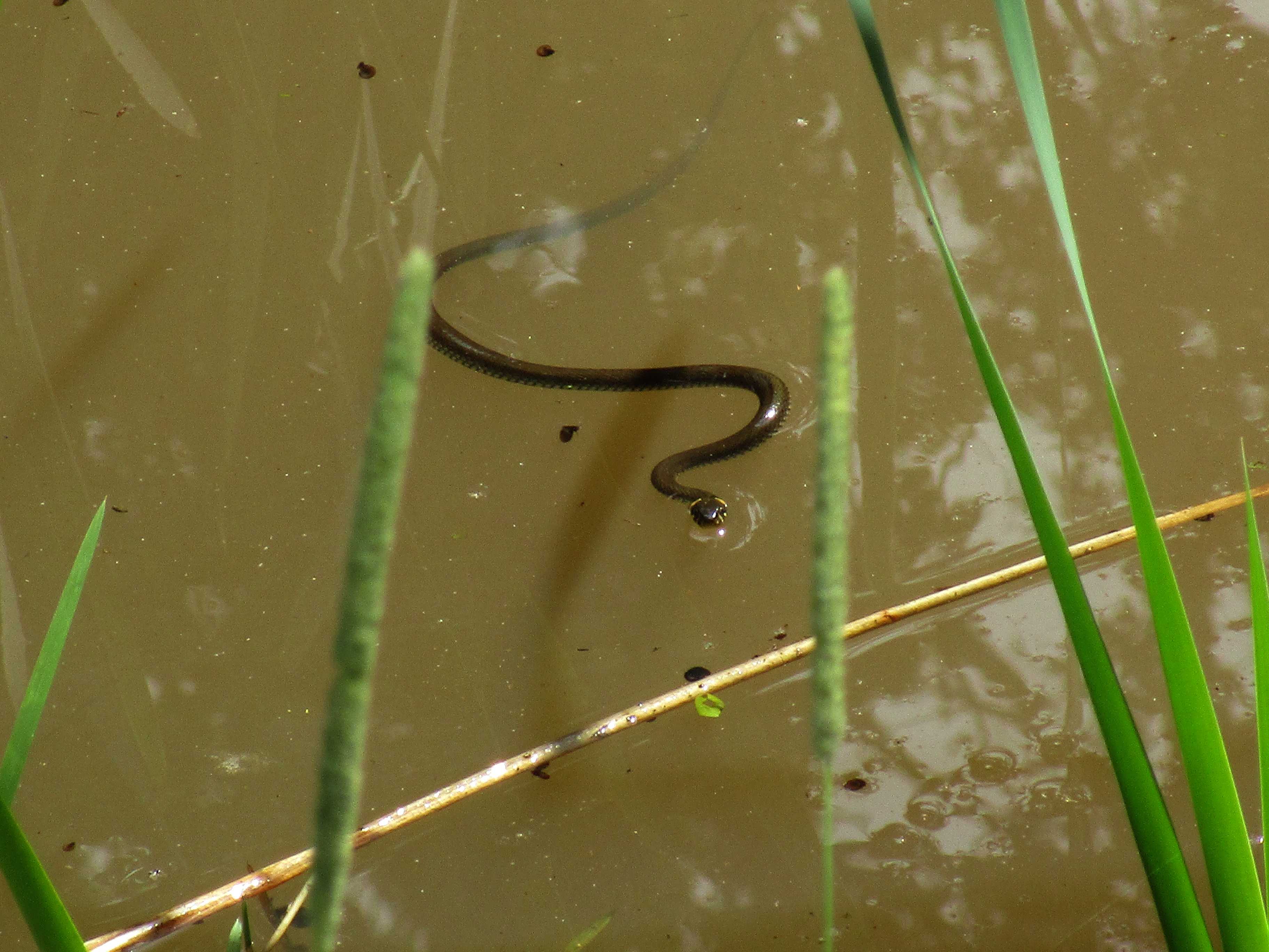
Grass Snake (Natrix natrix)
Location Spitzberg Nature Reserve
9 AUG 2019, 1204 UTC
Click to enlarge!
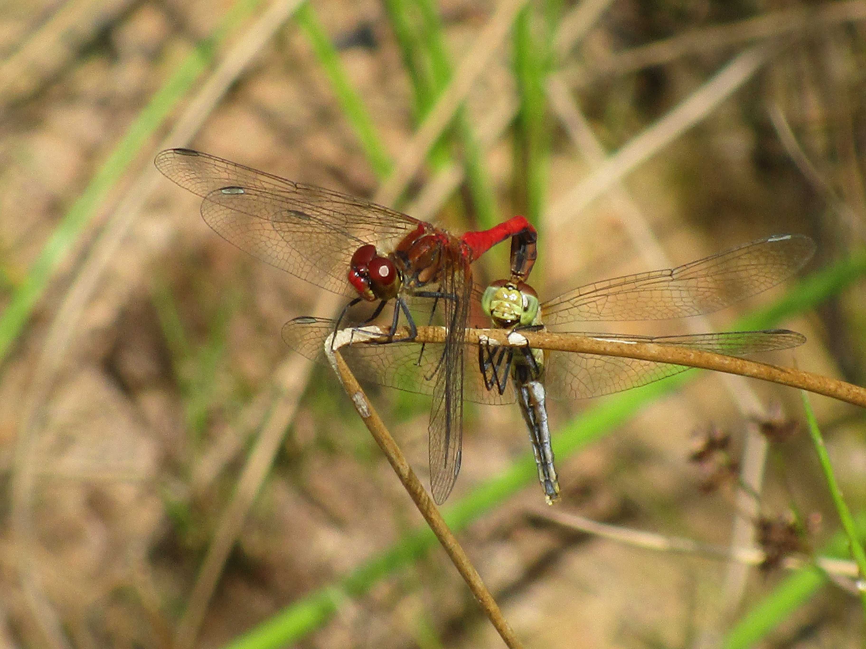
Mating pair of Ruddy Darter (Sympetrum sanguineum)
Location Spitzberg Nature Reserve
6 AUG 2019, 1106 UTC
Click to enlarge!
Tuebingen
Neckar riverside
23 MAR 2019, 1319 UTC
Click to enlarge!
Chapel of Salmendingen
14 FEB 2019, 1140 UTC
Click to enlarge!
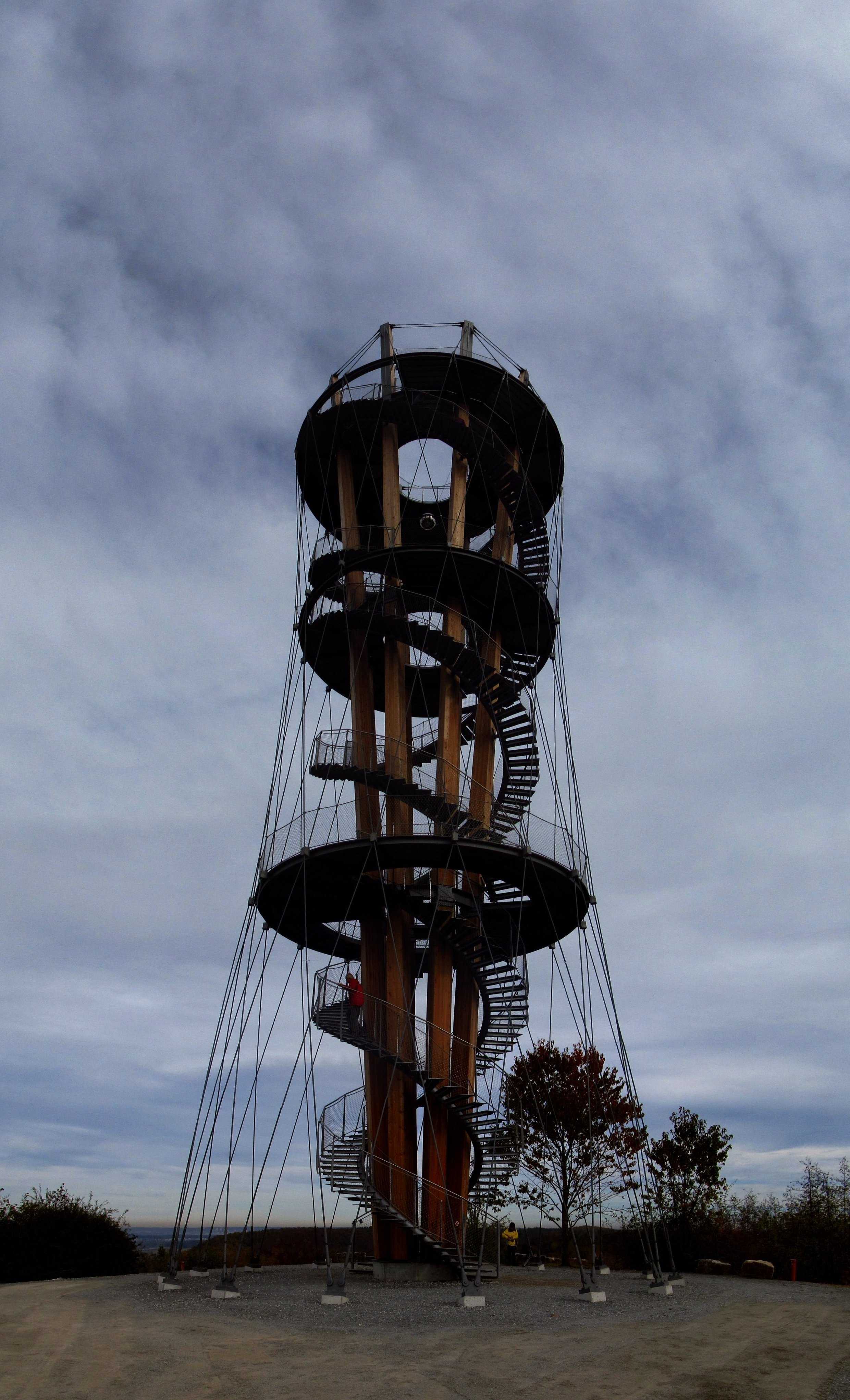
Schönbuch Tower near Herrenberg
Spectacular construction
6 NOV 2018, 1107 UTC
Click to enlarge!
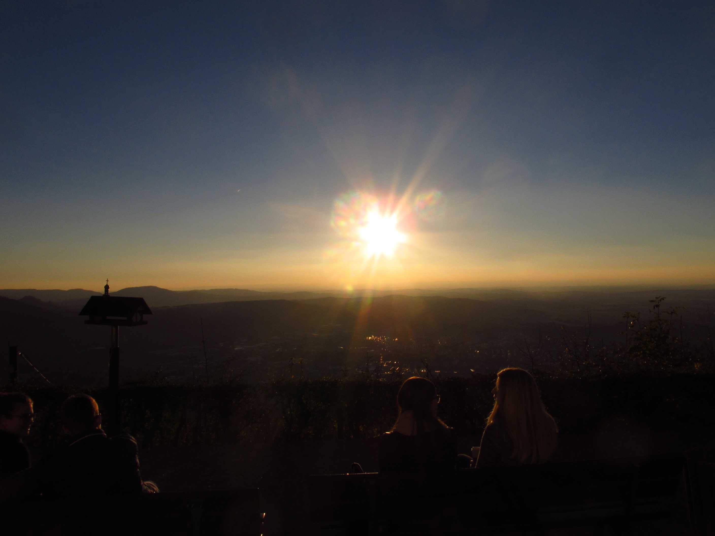
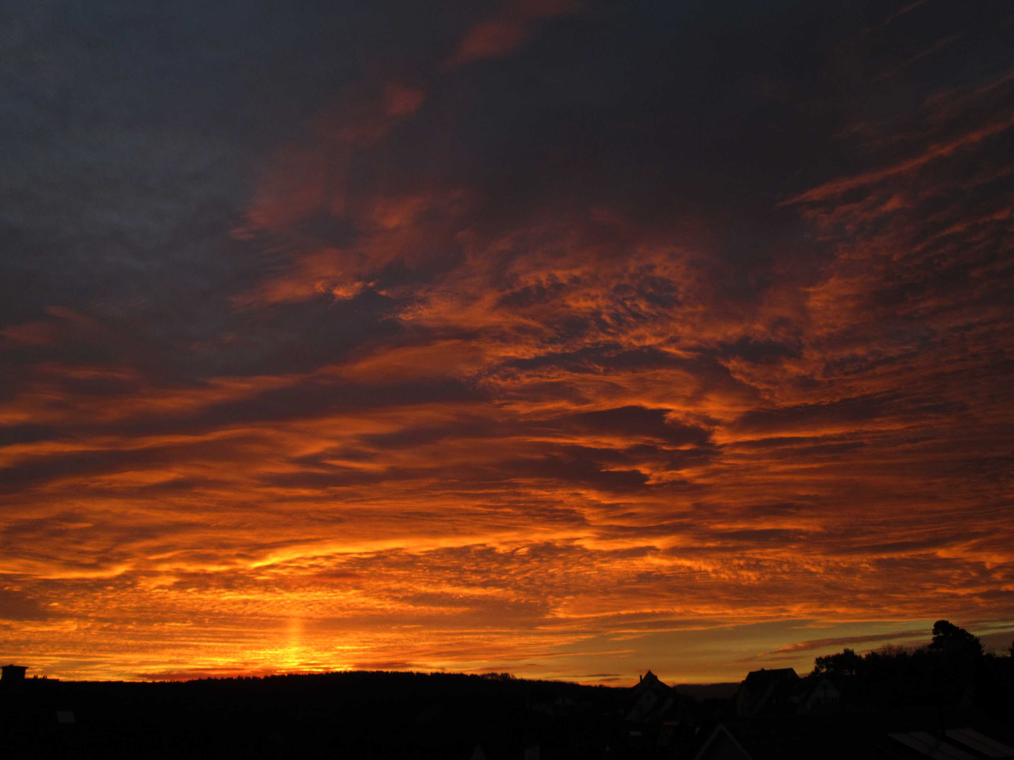
Sunset over the Black Forest
Position Dreifaltigkeitsberg
21 OCT 2018, 1555 UTC
Click to enlarge!

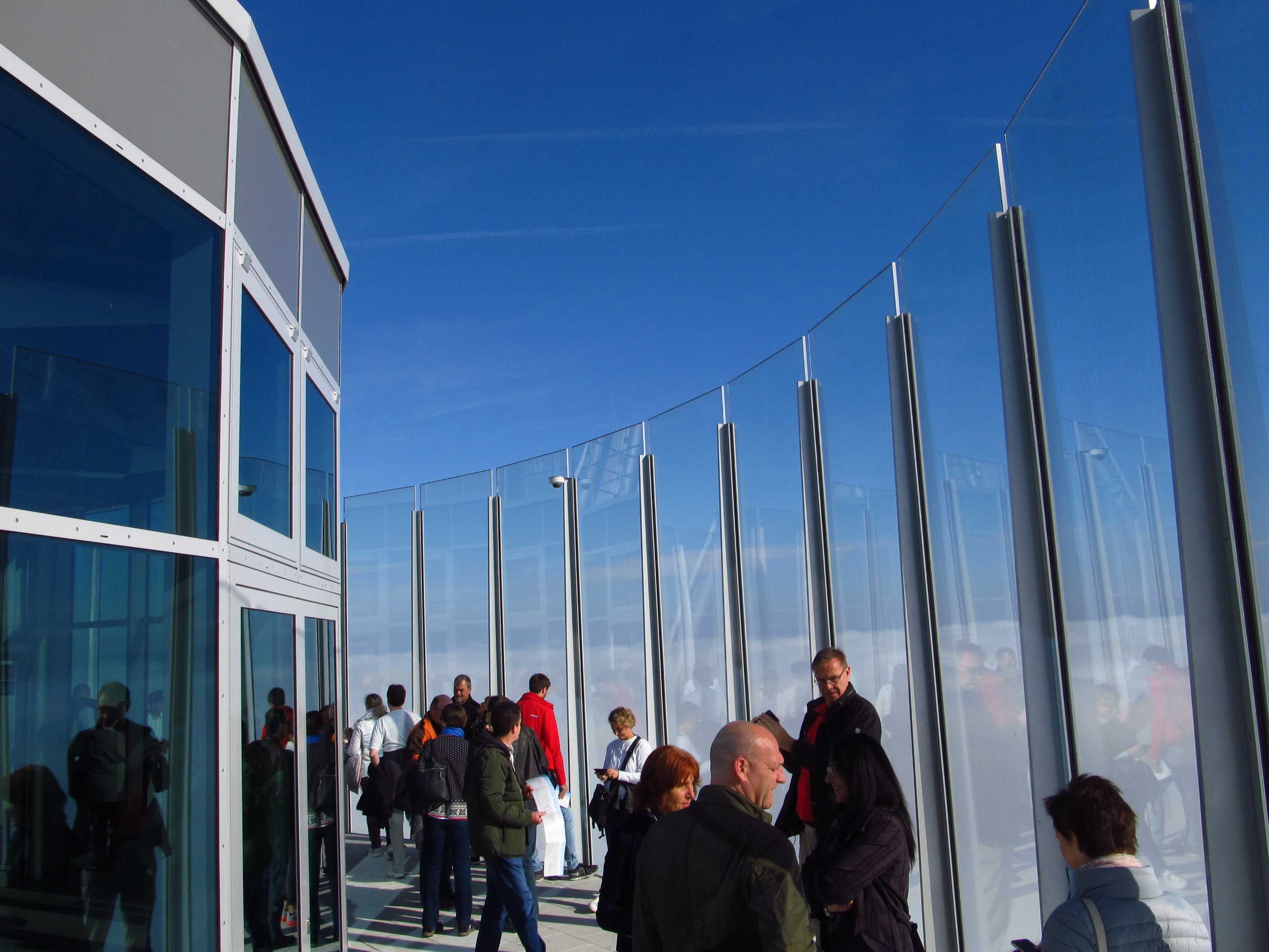
Thyssen-Krupp Tower near Rottweil
The tallest elevator test tower in the world: 246 metres!
Germany's highest viewing platform at 232 metres ...
Position Dreifaltigkeitsberg
21 OCT 2018, 1426 UTC
Click to enlarge!
Just above the sea of fog ...
21 OCT 2018, 0939 UTC
Click to enlarge!
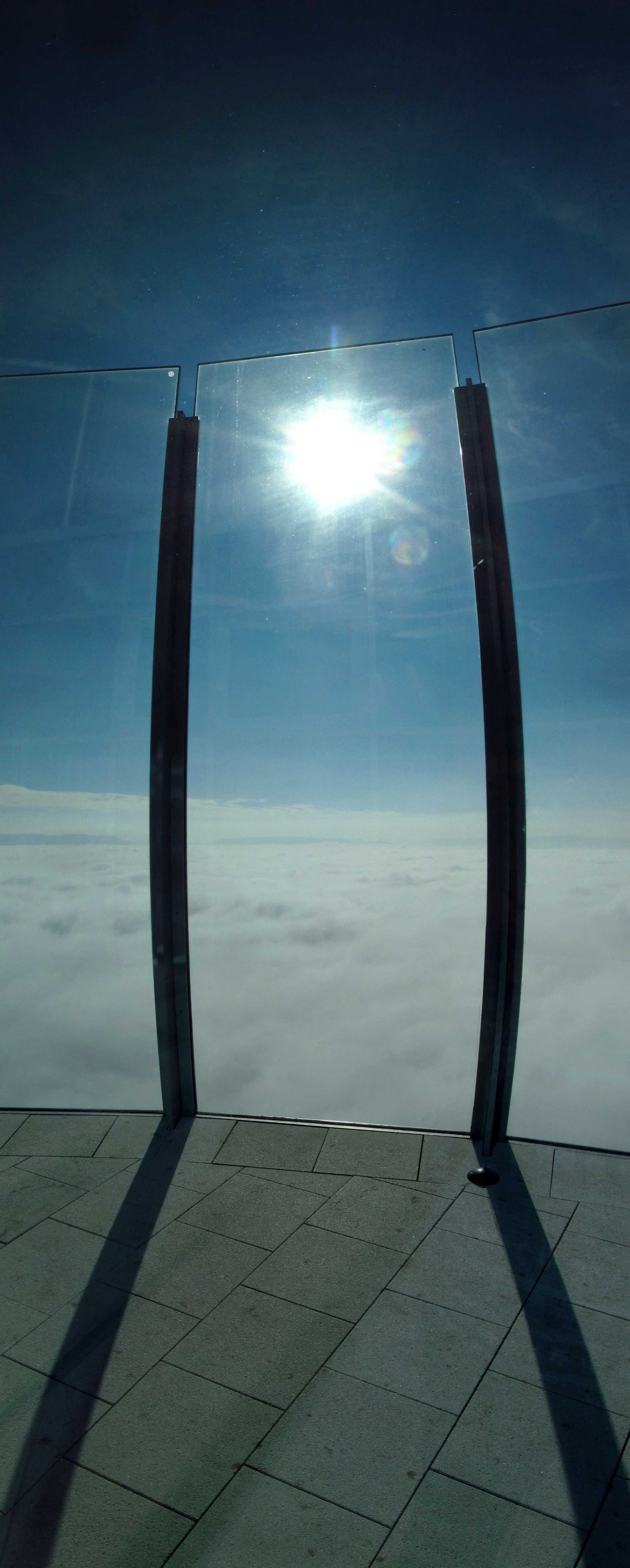
Just above the sea of fog ...
21 OCT 2018, 0934 UTC
Click to enlarge!

Thyssen-Krupp Tower near Rottweil
The tallest elevator test tower in the world: 246 metres!
Germany's highest viewing platform at 232 metres ...
400,000+ visitors since opening in October 2017!
Panorama Schwäbische Alb - Alps - Black Forest
21 OCT 2018, 0924 UTC
Click to enlarge!

Zoom into paradise ... Peaches (Prunus persica) near Hagelloch
11 AUG 2018, 0854 UTC
Click to enlarge!
Schwäbische Alb
Position Chapel of Salmendingen
13 MAY 2017, 1539 UTC
Click to enlarge!
Hagelloch
Position Em Knui
22 JAN 2017, 1122 UTC
Click to enlarge!

Neckar valley - Wurmlingen - Ammer valley
Position Chapel of Wurmlingen
15 DEC 2016, 1317 UTC
Click to enlarge!
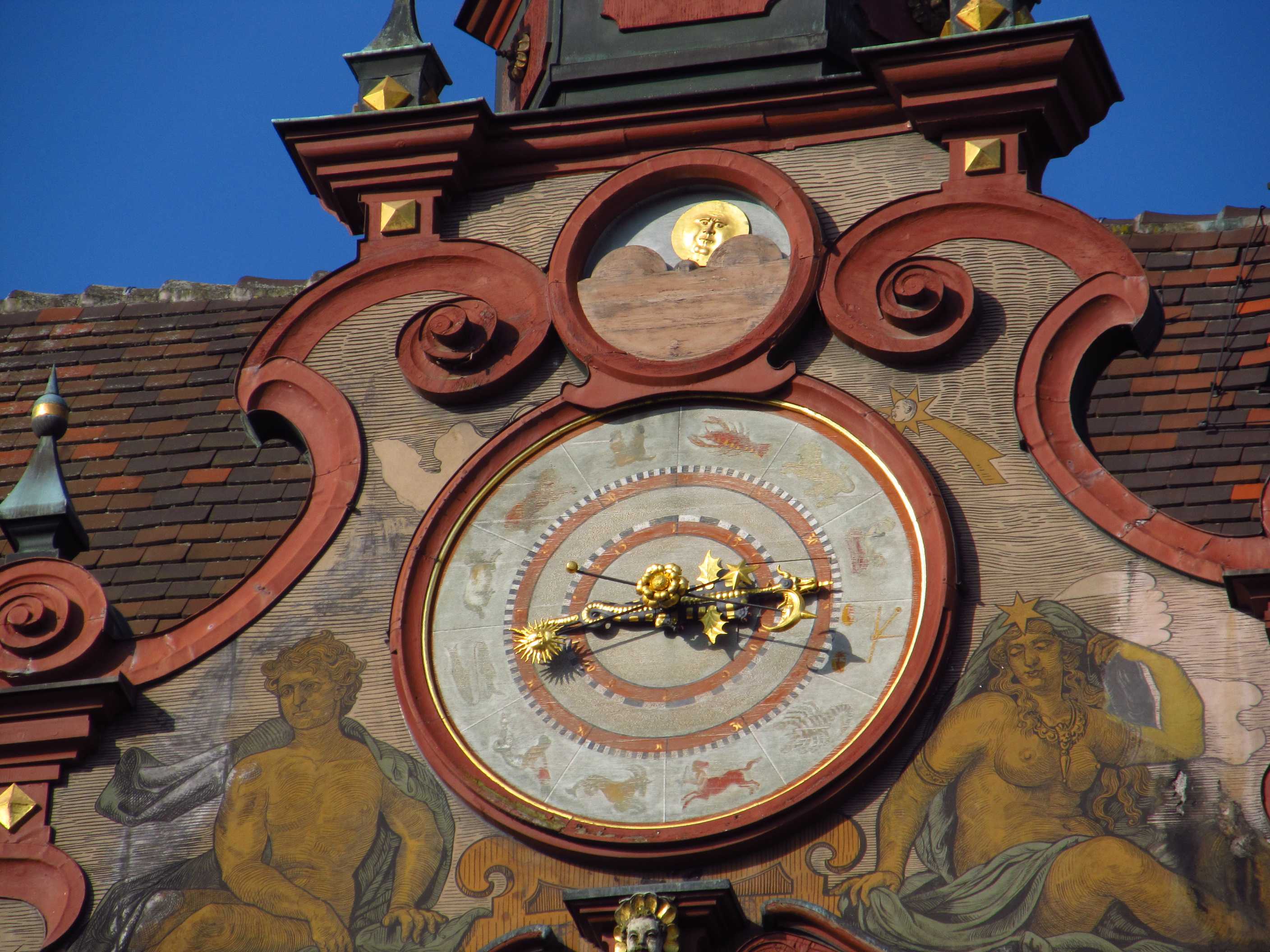
Zoom on the astronomical clocks
27 FEB 2016, 0902 UTC
Click to enlarge!

Tuebingen town hall
The bottom clock shows the time
The middle is an astronomical clock with the zodiac signs
The upper clock shows the phase of the moon
Built by mathematics and astronomy professor Johannes Stoeffler in 1511 -
about 100 years before Johannes Kepler studied at Tuebingen University! -
his world-famous clock shows special astronomical events
such as solar and lunar eclipses as well
27 FEB 2016, 0901 UTC
Click to enlarge!
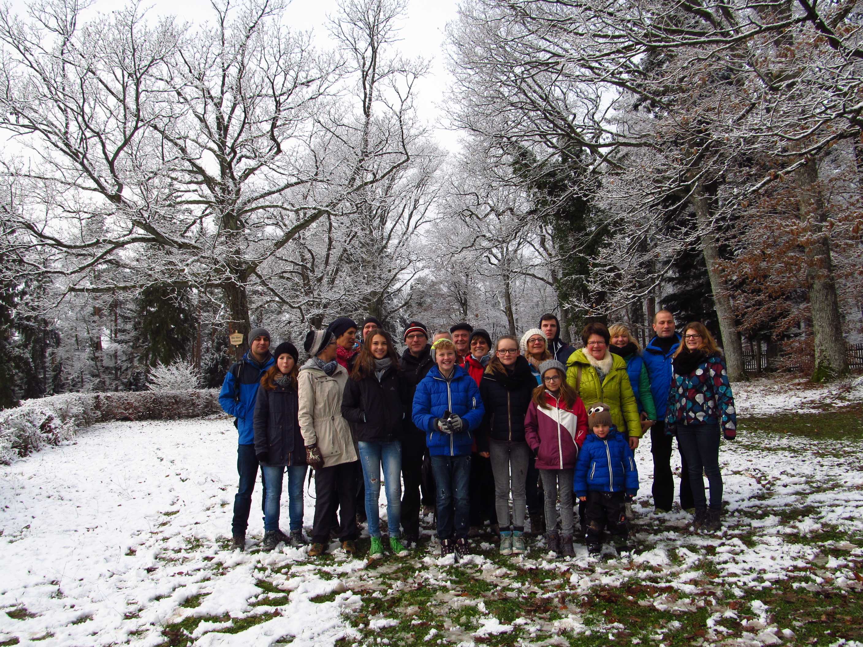
Family and friends - from 5 to 77 years old -
on the traditional 20 kilometres walk from Hagelloch
through the beautiful Schönbuch Forest National Park
to Breitenholz and back later in the dark,
for a four-hours feast on superb Swabian cuisine
26 DEC 2014, 1022 UTC
Click to enlarge!

Upper Donau valley
Gebrochener Gutenstein
Ruins of a medieval castle on top of a rock (centre)
23 DEC 2014, 1230 UTC
Click to enlarge!

Zoom on Gebrochener Gutenstein
23 DEC 2014, 1214 UTC
Click to enlarge!
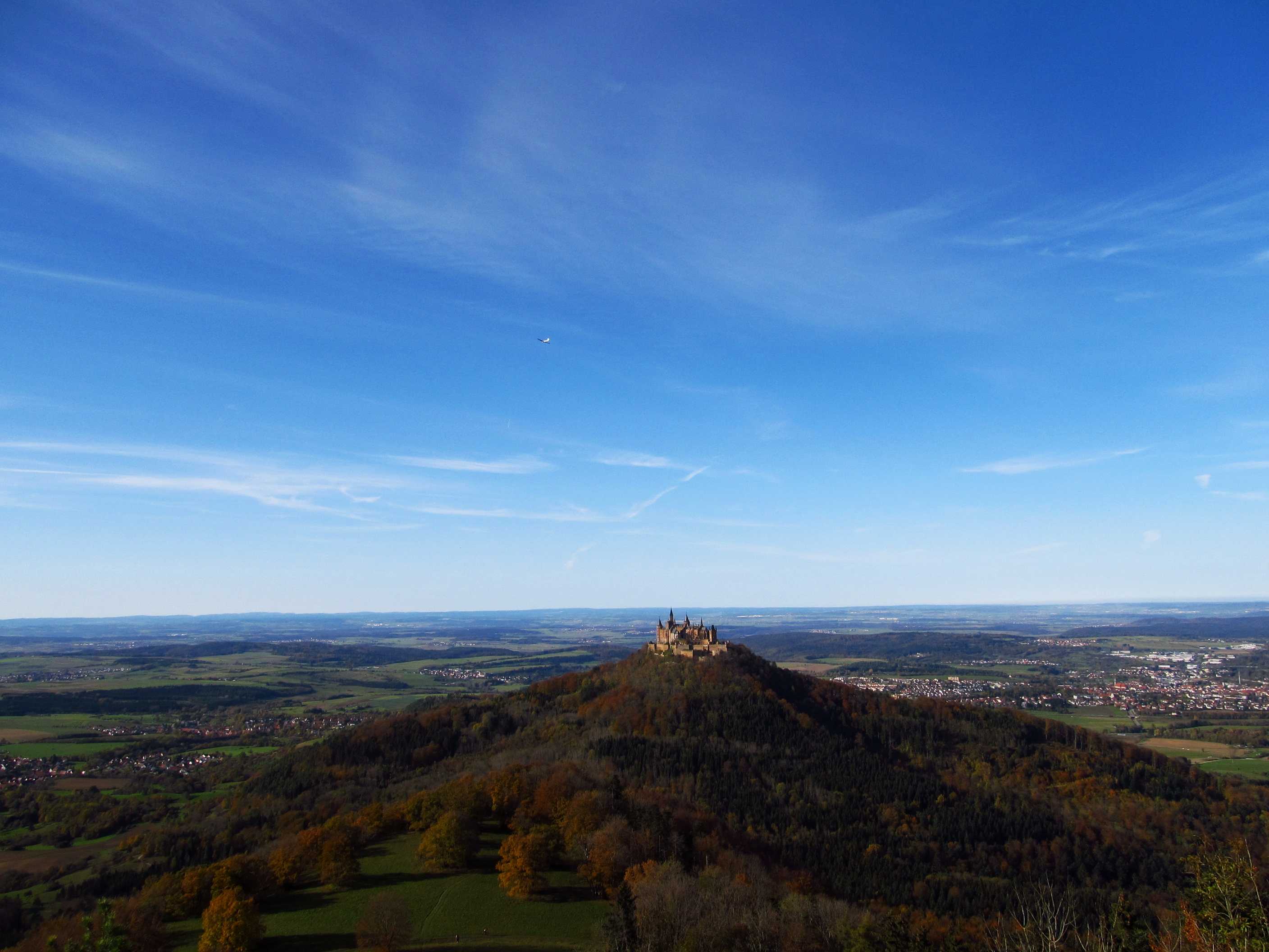
Hohenzollern Castle
1 NOV 2014, 1302 UTC
Click to enlarge!

Hair ice
An extremely rare natural phenomenon ...
No - this is not a fungus!
It's simply frozen water!
These ice structures grow out of small pores in the wood
Hair ice grows only where there is no bark on a piece of rotten wood
Location Gehrenkopf near Hagelloch
18 JAN 2014, 1008 UTC
Click to enlarge!
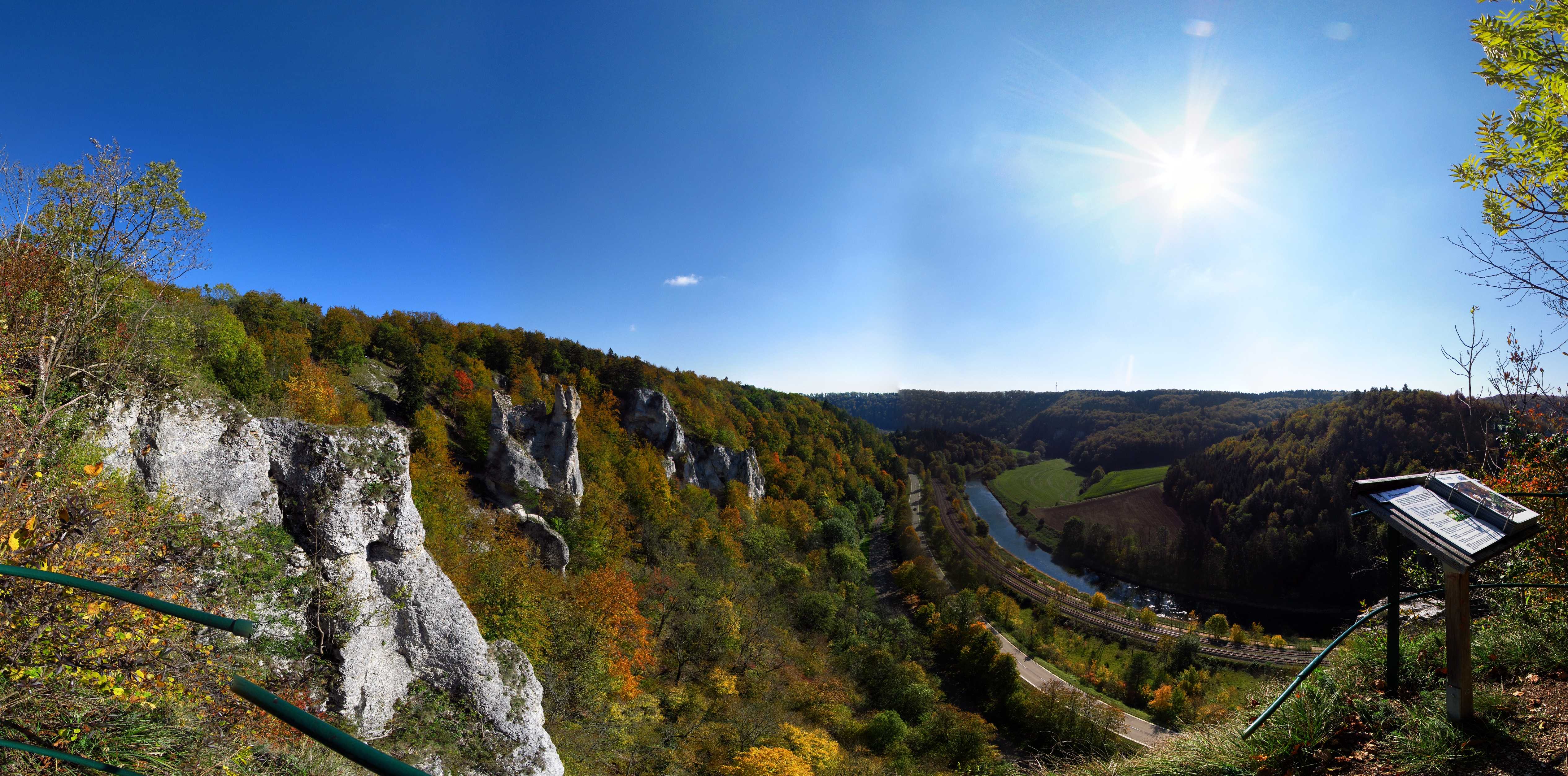
Upper Donau valley
Ruine Gebrochener Gutenstein
14 OCT 2011, 1122 UTC
Click to enlarge!
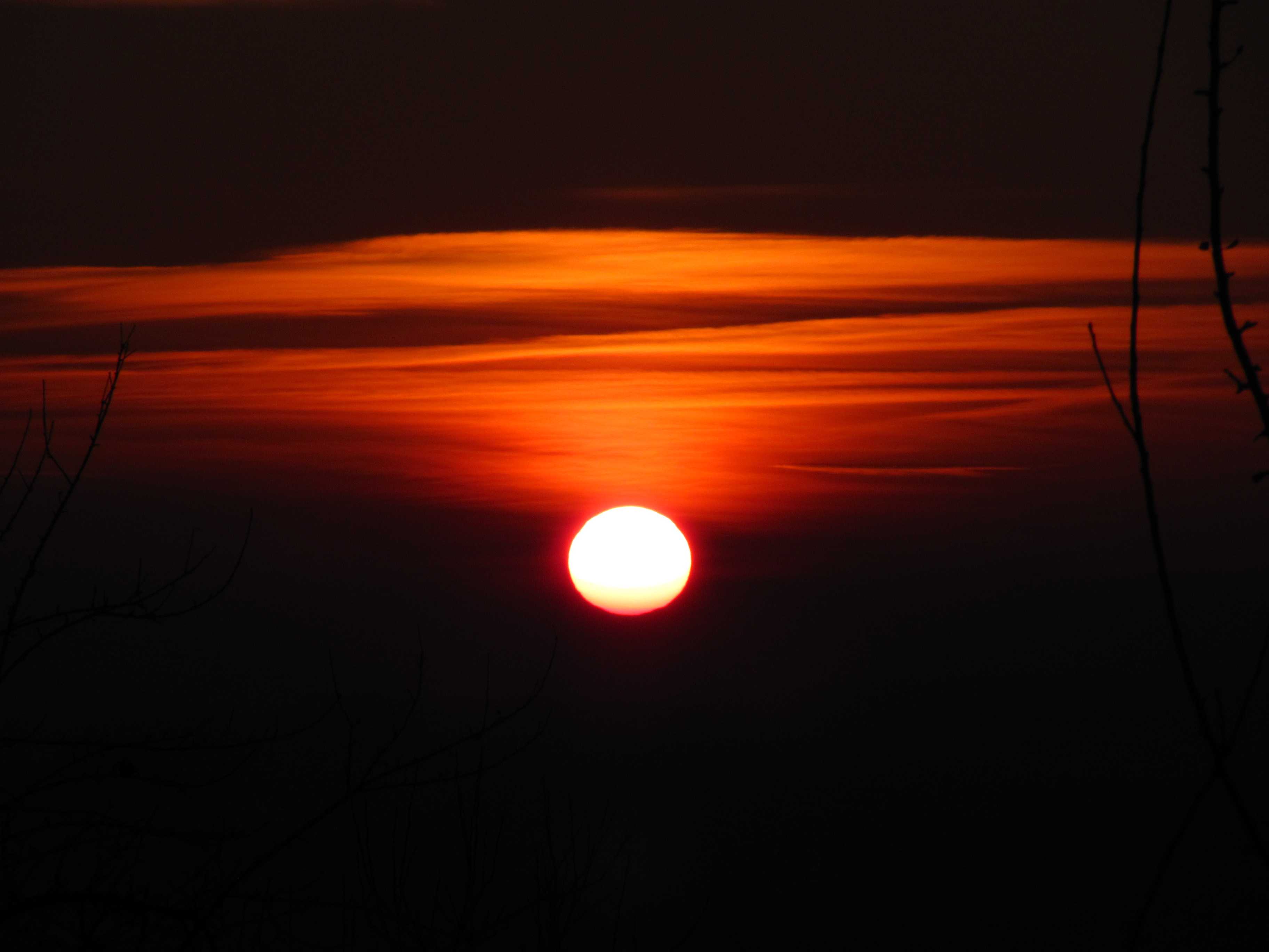
11 minutes to sunset
4 JAN 2011, 1529 UTC
Click to enlarge!
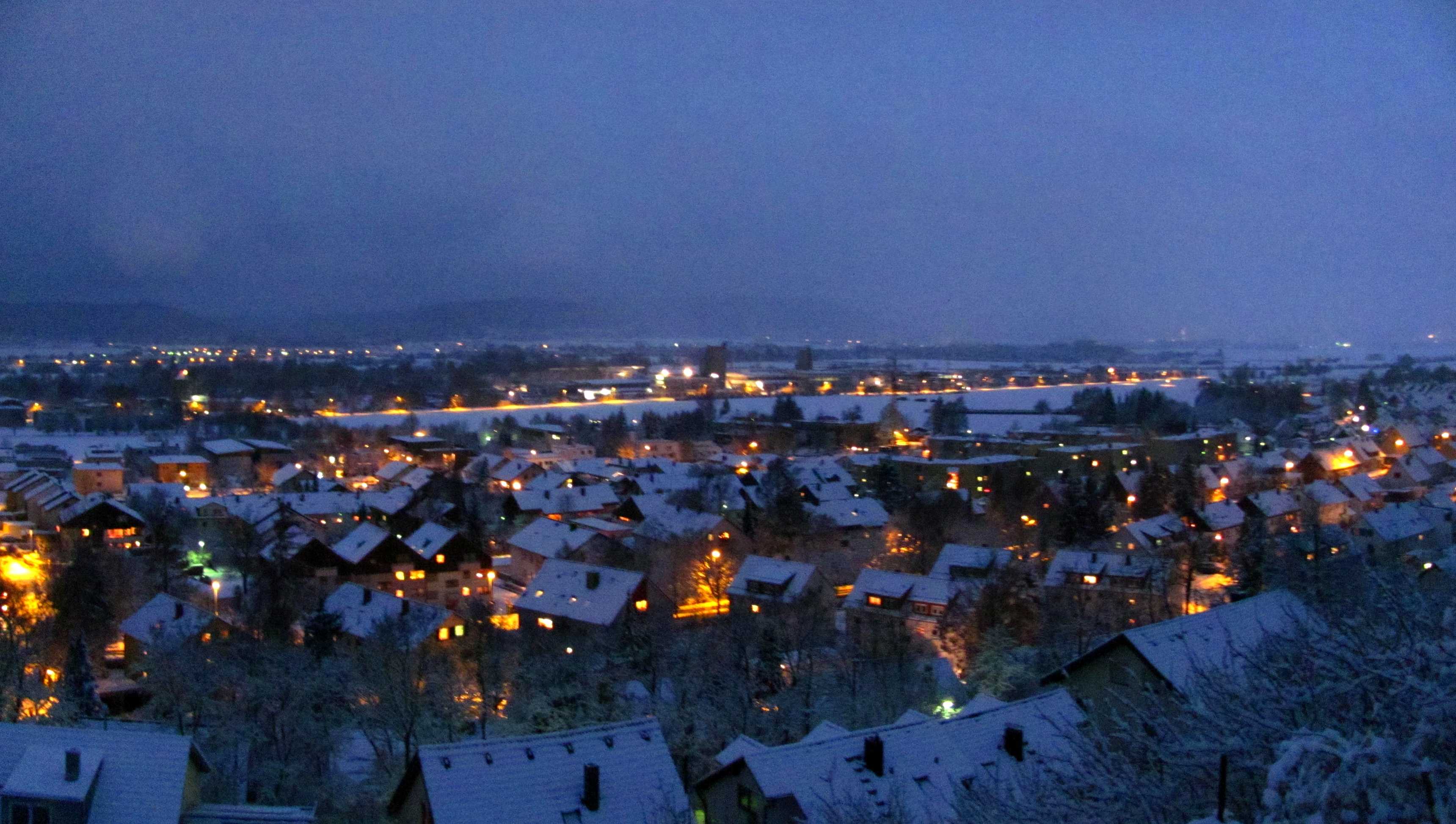
Tuebingen
Locality Hirschau
24 DEC 2010, 1606 UTC
Click to enlarge!
Security information: This website does NOT use "cookies" and we do NOT cooperate with and/or link to data gangsters such as Facebook or Google Analyzer. We do NOT spy on our customers!
This website does not operate the sites that it links to, nor does it supply any of the pictures or content on those sites. Because of the dynamic nature of the Internet, we cannot be responsible for changes, misrepresentations, fraud or illegal content on the sites that we link.